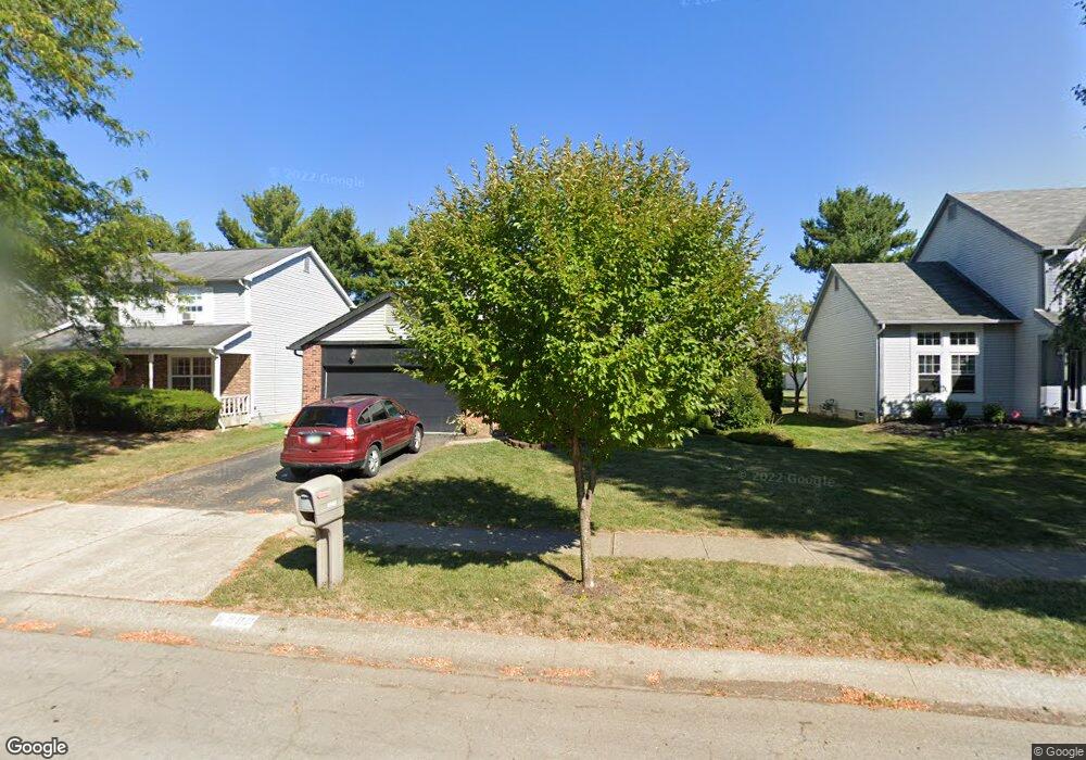
6908 Spruce Pine Dr Columbus, OH 43235
Brookside Colony NeighborhoodEstimated Value: $415,000 - $470,000
4
Beds
3
Baths
2,160
Sq Ft
$201/Sq Ft
Est. Value
About This Home
This home is located at 6908 Spruce Pine Dr, Columbus, OH 43235 and is currently estimated at $434,580, approximately $201 per square foot. 6908 Spruce Pine Dr is a home located in Franklin County with nearby schools including Indian Run Elementary School, Ann Simpson Davis Middle School, and Dublin Scioto High School.
Ownership History
Date
Name
Owned For
Owner Type
Purchase Details
Closed on
Mar 3, 1988
Bought by
Ebersole Harvey N
Current Estimated Value
Create a Home Valuation Report for This Property
The Home Valuation Report is an in-depth analysis detailing your home's value as well as a comparison with similar homes in the area
Home Values in the Area
Average Home Value in this Area
Purchase History
| Date | Buyer | Sale Price | Title Company |
|---|---|---|---|
| Ebersole Harvey N | $106,000 | -- |
Source: Public Records
Tax History Compared to Growth
Tax History
| Year | Tax Paid | Tax Assessment Tax Assessment Total Assessment is a certain percentage of the fair market value that is determined by local assessors to be the total taxable value of land and additions on the property. | Land | Improvement |
|---|---|---|---|---|
| 2024 | $7,289 | $120,510 | $34,650 | $85,860 |
| 2023 | $7,186 | $120,510 | $34,650 | $85,860 |
| 2022 | $6,248 | $97,370 | $17,010 | $80,360 |
| 2021 | $6,349 | $97,370 | $17,010 | $80,360 |
| 2020 | $6,311 | $97,370 | $17,010 | $80,360 |
| 2019 | $5,845 | $79,840 | $14,180 | $65,660 |
| 2018 | $5,447 | $79,840 | $14,180 | $65,660 |
| 2017 | $5,196 | $79,840 | $14,180 | $65,660 |
| 2016 | $4,995 | $69,410 | $17,750 | $51,660 |
| 2015 | $5,026 | $69,410 | $17,750 | $51,660 |
| 2014 | $5,031 | $69,410 | $17,750 | $51,660 |
| 2013 | $2,554 | $69,405 | $17,745 | $51,660 |
Source: Public Records
Map
Nearby Homes
- 6921 Spruce Pine Dr
- 2056 Fincastle Ct
- 1930 Shallowford Ave
- 2161 Heatherfield Ave
- 1721 Worthington Run Dr Unit 1721-1731
- 1889 Slaton Ct Unit 1889
- 2001 Sawbury Blvd Unit 2001
- 7373 Palmleaf Ln
- 2687 Snouffer Rd
- 1637 Park Row Dr Unit F
- 1620 Park Row Dr Unit A
- 1828 Gardenstone Dr
- 2392 Dunsworth Dr
- 2220 Surreygate Dr
- 2074 Hard Rd
- 1380 Tiehack Ct
- 7164 Durness Place
- 2456 Sanford Dr
- 7734 Henry David Ct
- 2469 Sandstrom Dr
- 6900 Spruce Pine Dr
- 6916 Spruce Pine Dr
- 6892 Spruce Pine Dr
- 6924 Spruce Pine Dr
- 6884 Spruce Pine Dr
- 6932 Spruce Pine Dr
- 6913 Spruce Pine Dr
- 6897 Spruce Pine Dr
- 1970 Smoky Meadow Dr
- 1964 Smoky Meadow Dr
- 6889 Spruce Pine Dr
- 1964 Smokey Meadow Dr
- 6876 Spruce Pine Dr
- 6940 Spruce Pine Dr
- 6933 Spruce Pine Dr
- 6881 Spruce Pine Dr
- 1958 Smoky Meadow Dr
- 1961 Smoky Meadow Dr
- 6900 Pine Bark Ln
- 6945 Spruce Pine Dr