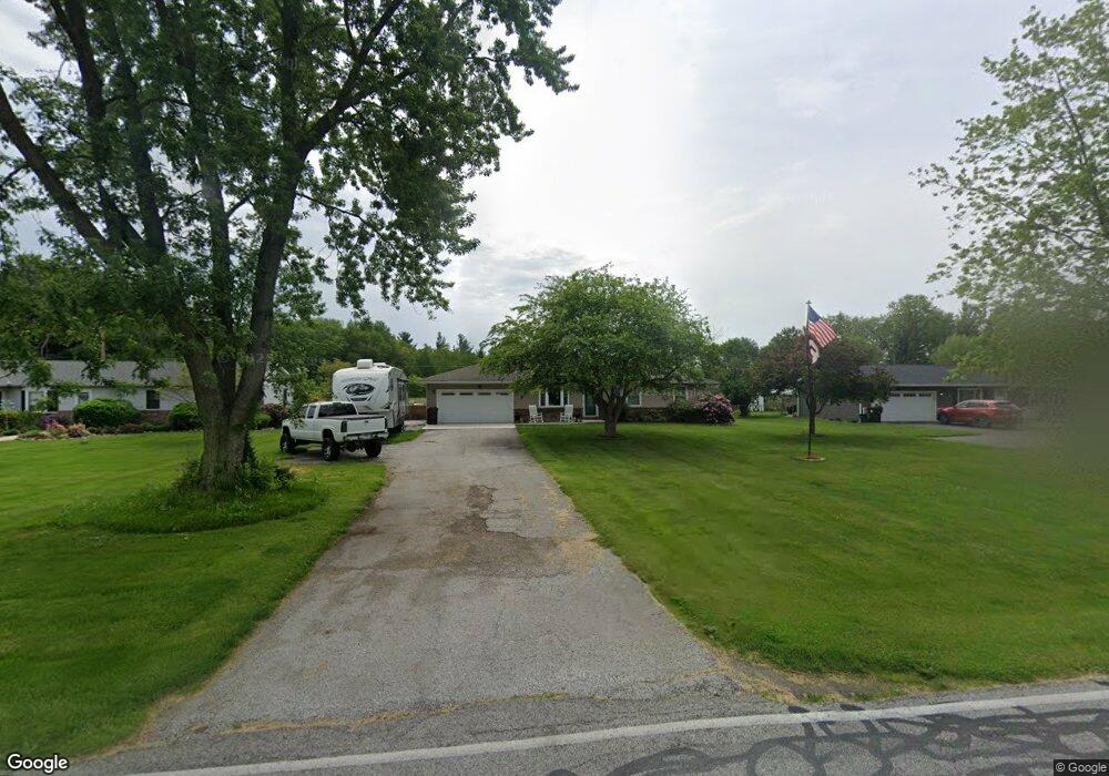
691 Baums Bridge Rd Kouts, IN 46347
Porter County NeighborhoodEstimated Value: $242,000 - $302,000
3
Beds
2
Baths
1,120
Sq Ft
$241/Sq Ft
Est. Value
About This Home
This home is located at 691 Baums Bridge Rd, Kouts, IN 46347 and is currently estimated at $269,587, approximately $240 per square foot. 691 Baums Bridge Rd is a home located in Porter County with nearby schools including Kouts Elementary School, Kouts Middle/High School, and Midwest Academy.
Ownership History
Date
Name
Owned For
Owner Type
Purchase Details
Closed on
Oct 29, 2021
Sold by
Blasko Michael
Bought by
Blasko Michael and Blasko Christine
Current Estimated Value
Home Financials for this Owner
Home Financials are based on the most recent Mortgage that was taken out on this home.
Original Mortgage
$120,000
Outstanding Balance
$109,790
Interest Rate
2.88%
Mortgage Type
New Conventional
Estimated Equity
$159,797
Purchase Details
Closed on
Aug 9, 2007
Sold by
Cultice Gail S
Bought by
Blasko Michael
Home Financials for this Owner
Home Financials are based on the most recent Mortgage that was taken out on this home.
Original Mortgage
$93,600
Interest Rate
6.69%
Mortgage Type
Purchase Money Mortgage
Purchase Details
Closed on
Mar 21, 2005
Sold by
Broadaway David L and Broadaway Carrol J
Bought by
Cultice Gail S
Create a Home Valuation Report for This Property
The Home Valuation Report is an in-depth analysis detailing your home's value as well as a comparison with similar homes in the area
Home Values in the Area
Average Home Value in this Area
Purchase History
| Date | Buyer | Sale Price | Title Company |
|---|---|---|---|
| Blasko Michael | -- | Chicago Title Ins Co | |
| Blasko Michael | -- | Ticor Title Insurance | |
| Cultice Gail S | -- | -- |
Source: Public Records
Mortgage History
| Date | Status | Borrower | Loan Amount |
|---|---|---|---|
| Open | Blasko Michael | $120,000 | |
| Closed | Blasko Michael | $93,600 |
Source: Public Records
Tax History Compared to Growth
Tax History
| Year | Tax Paid | Tax Assessment Tax Assessment Total Assessment is a certain percentage of the fair market value that is determined by local assessors to be the total taxable value of land and additions on the property. | Land | Improvement |
|---|---|---|---|---|
| 2024 | $1,173 | $176,700 | $26,400 | $150,300 |
| 2023 | $1,142 | $173,700 | $25,300 | $148,400 |
| 2022 | $1,142 | $160,700 | $25,300 | $135,400 |
| 2021 | $1,008 | $140,000 | $25,300 | $114,700 |
| 2020 | $1,062 | $145,700 | $22,000 | $123,700 |
| 2019 | $952 | $130,800 | $22,000 | $108,800 |
| 2018 | $861 | $123,000 | $22,000 | $101,000 |
| 2017 | $854 | $123,200 | $22,000 | $101,200 |
| 2016 | $804 | $119,000 | $22,300 | $96,700 |
| 2014 | $610 | $108,100 | $21,800 | $86,300 |
| 2013 | -- | $105,400 | $22,700 | $82,700 |
Source: Public Records
Map
Nearby Homes
- 156 Lee Dr
- 408 Coyote Trail
- 403 N Main St
- 305 Shady Ln
- 304 Shady Ln
- 407 Mckinley St
- 201 Will St
- 406 S Pleasant Dr
- 501 W Elizabeth St
- 702 W Jefferson St
- 0 Vanessa Way Unit GNR544729
- 0 Sharyn St Unit GNR544743
- 0 Sharyn St Unit GNR544737
- 0 Sharyn St Unit GNR544741
- 209 E Ross Ave
- 546 S 150 E
- 530 S 300 E
- 0-Lot B4-5 St Road 8
- 0-Lot B6-7 State Road 8
- 0-B1-3 State Road 8
- 691 S Baums Bridge Rd
- 693 Baums Bridge Rd
- 689 Baums Bridge Rd
- 693 S Baums Bridge Rd
- 692 Baums Bridge Rd
- 692 S Baums Bridge Rd
- 695 Baums Bridge Rd
- 687 Baums Bridge Rd
- 687 S Baums Bridge Rd
- 688 Baums Bridge Rd
- 687 S 150 E
- 690 Baums Bridge Rd
- 685 Baums Bridge Rd
- 685 S 150 E
- 157 E 700 S
- 682 S Baums Bridge Rd
- 682 Baums Bridge Rd
- 685-1 Baums Bridge Rd
- 681 S 150 E
- 690 S 150 E