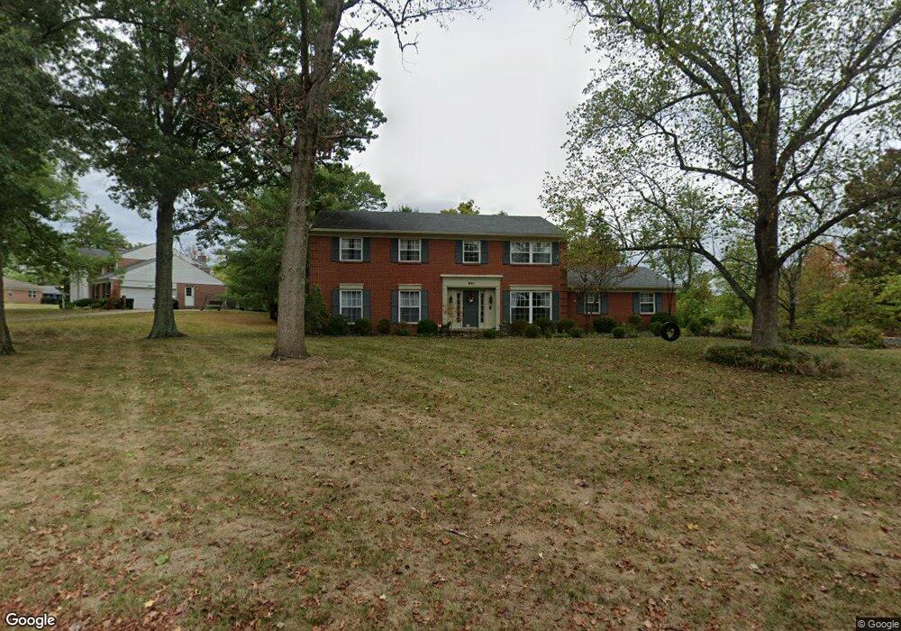
691 Dunwoodie Dr Cincinnati, OH 45230
Salem Heights NeighborhoodEstimated Value: $562,071 - $662,000
4
Beds
4
Baths
2,760
Sq Ft
$220/Sq Ft
Est. Value
About This Home
This home is located at 691 Dunwoodie Dr, Cincinnati, OH 45230 and is currently estimated at $608,018, approximately $220 per square foot. 691 Dunwoodie Dr is a home located in Hamilton County with nearby schools including Maddux Elementary School, Nagel Middle School, and Anderson High School.
Ownership History
Date
Name
Owned For
Owner Type
Purchase Details
Closed on
Apr 16, 2018
Sold by
Pearce Harry and Pearce Nancy A
Bought by
Luo Yu
Current Estimated Value
Home Financials for this Owner
Home Financials are based on the most recent Mortgage that was taken out on this home.
Original Mortgage
$272,000
Interest Rate
4.46%
Mortgage Type
New Conventional
Create a Home Valuation Report for This Property
The Home Valuation Report is an in-depth analysis detailing your home's value as well as a comparison with similar homes in the area
Home Values in the Area
Average Home Value in this Area
Purchase History
| Date | Buyer | Sale Price | Title Company |
|---|---|---|---|
| Luo Yu | $340,000 | None Available |
Source: Public Records
Mortgage History
| Date | Status | Borrower | Loan Amount |
|---|---|---|---|
| Previous Owner | Luo Yu | $272,000 |
Source: Public Records
Tax History Compared to Growth
Tax History
| Year | Tax Paid | Tax Assessment Tax Assessment Total Assessment is a certain percentage of the fair market value that is determined by local assessors to be the total taxable value of land and additions on the property. | Land | Improvement |
|---|---|---|---|---|
| 2024 | $8,218 | $135,279 | $28,700 | $106,579 |
| 2023 | $7,817 | $135,279 | $28,700 | $106,579 |
| 2022 | $7,721 | $119,001 | $27,934 | $91,067 |
| 2021 | $7,538 | $119,001 | $27,934 | $91,067 |
| 2020 | $7,625 | $119,001 | $27,934 | $91,067 |
| 2019 | $7,628 | $108,088 | $26,107 | $81,981 |
| 2018 | $7,145 | $108,088 | $26,107 | $81,981 |
| 2017 | $6,739 | $108,088 | $26,107 | $81,981 |
| 2016 | $6,324 | $99,096 | $26,334 | $72,762 |
| 2015 | $6,142 | $99,096 | $26,334 | $72,762 |
| 2014 | $6,146 | $99,096 | $26,334 | $72,762 |
| 2013 | $5,698 | $97,150 | $25,816 | $71,334 |
Source: Public Records
Map
Nearby Homes
- 7029 Stonington Rd
- 7107 Foxview Dr
- 993 Rosetree Ln
- 929 Birney Ln
- 772 Huntersknoll Ln
- 1016 Anderson Hills Dr
- 6690 Hitchingpost Ln
- 7335 Five Mile Rd
- 1132 Rosetree Ln
- 6811 Sunray St
- 6624 Hitching Post Ln
- 1135 Joetta Dr
- 1138 Wilshire Ave
- 1145 Ayershire Ave
- 1163 Linden Hill Ln
- 1184 Linden Hill Ln
- 6574 Windyhills Rd
- 7321 Waterpoint Ln
- 6763 Salem Rd
- 6828 Salem Rd
- 6999 Bennett Rd
- 675 Dunwoodie Dr
- 6989 Bennett Rd
- 684 Dunwoodie Dr
- 6951 Wildflower Trail
- 664 Dunwoodie Dr
- 655 Dunwoodie Dr
- 6979 Bennett Rd
- 708 Dunwoodie Dr
- 7030 Woodsedge Dr
- 7057 Bennett Rd
- 7042 Woodsedge Dr
- 722 Dunwoodie Dr
- 6965 Bennett Rd
- 6941 Wildflower Trail
- 7056 Woodsedge Dr
- 7071 Bennett Rd
- 6986 Woodsedge Dr
- 648 Dunwoodie Dr
- 7025 Woodsedge Dr