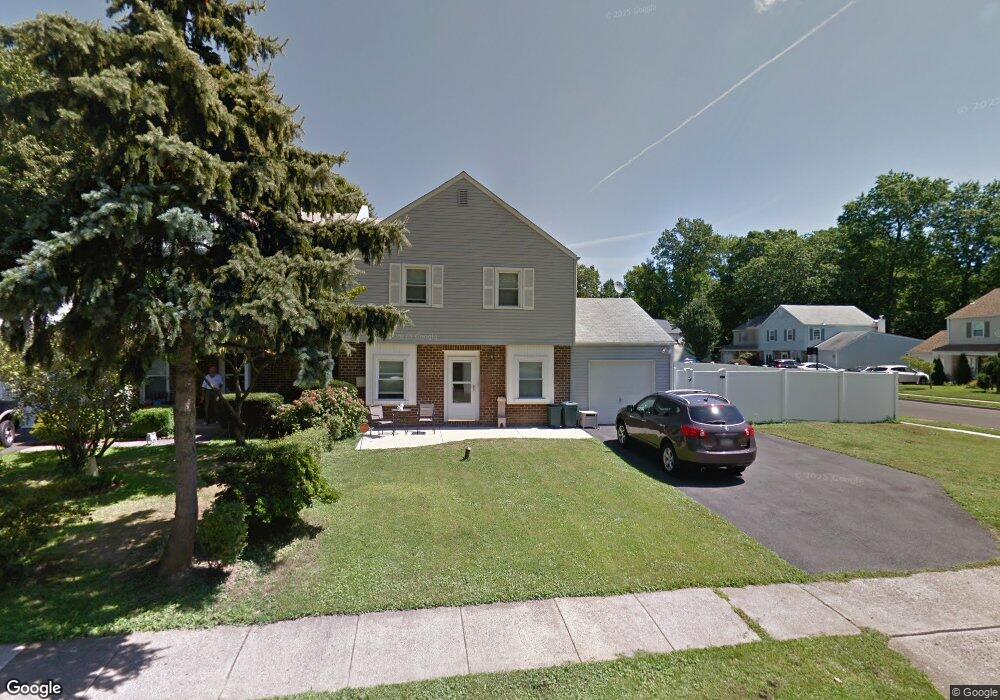
691 Fir Ave Langhorne, PA 19047
Estimated Value: $420,000 - $514,003
3
Beds
3
Baths
1,802
Sq Ft
$260/Sq Ft
Est. Value
About This Home
This home is located at 691 Fir Ave, Langhorne, PA 19047 and is currently estimated at $468,501, approximately $259 per square foot. 691 Fir Ave is a home located in Bucks County with nearby schools including Hoover Elementary School, Maple Point Middle School, and Neshaminy High School.
Ownership History
Date
Name
Owned For
Owner Type
Purchase Details
Closed on
Dec 8, 2014
Sold by
Hurlock Heather H and Brandt Heather Hope
Bought by
Brandt Heather Hope and Brandt Robert S
Current Estimated Value
Home Financials for this Owner
Home Financials are based on the most recent Mortgage that was taken out on this home.
Original Mortgage
$173,000
Outstanding Balance
$97,047
Interest Rate
3.98%
Mortgage Type
New Conventional
Estimated Equity
$371,454
Purchase Details
Closed on
Sep 17, 2004
Sold by
Redmond Dennis J and Redmond Carol L
Bought by
Hurlock Heather H
Home Financials for this Owner
Home Financials are based on the most recent Mortgage that was taken out on this home.
Original Mortgage
$158,000
Interest Rate
5.81%
Mortgage Type
Purchase Money Mortgage
Create a Home Valuation Report for This Property
The Home Valuation Report is an in-depth analysis detailing your home's value as well as a comparison with similar homes in the area
Home Values in the Area
Average Home Value in this Area
Purchase History
| Date | Buyer | Sale Price | Title Company |
|---|---|---|---|
| Brandt Heather Hope | -- | None Available | |
| Hurlock Heather H | $197,500 | Lawyers Title Ins |
Source: Public Records
Mortgage History
| Date | Status | Borrower | Loan Amount |
|---|---|---|---|
| Open | Brandt Heather Hope | $173,000 | |
| Closed | Hurlock Heather H | $158,000 | |
| Closed | Hurlock Heather H | $12,000 |
Source: Public Records
Tax History Compared to Growth
Tax History
| Year | Tax Paid | Tax Assessment Tax Assessment Total Assessment is a certain percentage of the fair market value that is determined by local assessors to be the total taxable value of land and additions on the property. | Land | Improvement |
|---|---|---|---|---|
| 2025 | $6,438 | $29,570 | $6,600 | $22,970 |
| 2024 | $6,438 | $29,570 | $6,600 | $22,970 |
| 2023 | $6,335 | $29,570 | $6,600 | $22,970 |
| 2022 | $6,169 | $29,570 | $6,600 | $22,970 |
| 2021 | $6,169 | $29,570 | $6,600 | $22,970 |
| 2020 | $6,095 | $29,570 | $6,600 | $22,970 |
| 2019 | $5,959 | $29,570 | $6,600 | $22,970 |
| 2018 | $5,776 | $29,200 | $6,600 | $22,600 |
| 2017 | $5,629 | $29,200 | $6,600 | $22,600 |
| 2016 | $5,629 | $29,200 | $6,600 | $22,600 |
| 2015 | $5,818 | $29,200 | $6,600 | $22,600 |
| 2014 | $5,818 | $29,200 | $6,600 | $22,600 |
Source: Public Records
Map
Nearby Homes
- 0 Fir Ave
- L:070 Trenton Rd
- 440 Durham Rd
- 310 Jefferson Ave
- 301 Snowball Dr
- 283 Snowball Dr
- 24 W Lincoln Hwy
- 711 Bellevue Ave
- 164 Trenton Rd
- 56 W Lincoln Hwy
- 14 High Rd
- 46 Hydrangea Rd
- 927 Bellevue Ave
- 301 Main St
- 29 Hope Rd
- 0 Main St
- 731 Highland Ave
- 866 Hulmeville Rd
- 827 Hulmeville Rd
- 6408 Trenton Ct