691 Johnson Mill Rd Orrington, ME 04474
Estimated Value: $358,000 - $479,000
2
Beds
1
Bath
1,444
Sq Ft
$283/Sq Ft
Est. Value
About This Home
This home is located at 691 Johnson Mill Rd, Orrington, ME 04474 and is currently estimated at $408,553, approximately $282 per square foot. 691 Johnson Mill Rd is a home located in Penobscot County with nearby schools including Center Drive School.
Ownership History
Date
Name
Owned For
Owner Type
Purchase Details
Closed on
Jun 17, 2013
Sold by
Allen Michael F and Allen Wayne P
Bought by
Allen Paul S
Current Estimated Value
Purchase Details
Closed on
Jan 2, 2008
Sold by
Allen Michael F
Bought by
Allen Michael F and Allen Pamela
Home Financials for this Owner
Home Financials are based on the most recent Mortgage that was taken out on this home.
Original Mortgage
$267,750
Outstanding Balance
$169,976
Interest Rate
6.27%
Mortgage Type
FHA
Estimated Equity
$238,577
Create a Home Valuation Report for This Property
The Home Valuation Report is an in-depth analysis detailing your home's value as well as a comparison with similar homes in the area
Home Values in the Area
Average Home Value in this Area
Purchase History
| Date | Buyer | Sale Price | Title Company |
|---|---|---|---|
| Allen Paul S | -- | -- | |
| Allen Michael F | -- | -- |
Source: Public Records
Mortgage History
| Date | Status | Borrower | Loan Amount |
|---|---|---|---|
| Open | Allen Michael F | $267,750 |
Source: Public Records
Tax History Compared to Growth
Tax History
| Year | Tax Paid | Tax Assessment Tax Assessment Total Assessment is a certain percentage of the fair market value that is determined by local assessors to be the total taxable value of land and additions on the property. | Land | Improvement |
|---|---|---|---|---|
| 2024 | $3,360 | $308,300 | $88,700 | $219,600 |
| 2023 | $3,196 | $290,500 | $82,500 | $208,000 |
| 2022 | $3,422 | $268,400 | $86,800 | $181,600 |
| 2021 | $3,749 | $249,900 | $86,800 | $163,100 |
| 2020 | $3,843 | $241,700 | $86,800 | $154,900 |
| 2019 | $3,843 | $241,700 | $86,800 | $154,900 |
| 2018 | $3,360 | $241,700 | $86,800 | $154,900 |
| 2017 | $3,360 | $241,700 | $86,800 | $154,900 |
| 2016 | $1,953 | $223,000 | $74,300 | $148,700 |
| 2015 | $3,200 | $223,000 | $74,300 | $148,700 |
| 2014 | $3,203 | $223,200 | $74,300 | $148,900 |
| 2013 | $3,002 | $223,200 | $74,300 | $148,900 |
Source: Public Records
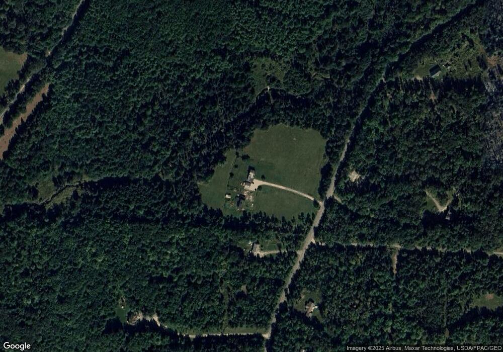
Map
Nearby Homes
- 1002 River Rd
- 15 Maine 15
- 38 Bartlett Cove Dr
- 24 Granite Ledge Ln
- 40 Bartlett Cove Dr
- 80 Settlers Way
- 486 Johnson Mill Rd
- 173 Center Dr
- 245 Center Dr
- 290 Center Dr
- 93 Hopkins Rd
- 101 Oak Hill Rd
- 420 Main Rd S
- 342 Main Rd S
- 29 Foster Ave
- 63 Pleasant St
- 48 & 50 Highland Ridge Dr
- 22 & 24 Highland Ridge Dr
- 55 & 57 Highland Ridge Dr
- 51 & 53 Highland Ridge Dr
- 699 Johnson Mill Rd
- 688 Johnson Mill Rd
- 720 Johnson Mill Rd
- 725 Johnson Mill Rd
- 726 Johnson Mill Rd
- 733 Johnson Mill Rd
- 692 Johnson Mill Rd
- 664 Johnson Mill Rd
- 749 Johnson Mill Rd
- 700 Johnson Mill Rd
- 750 Johnson Mill Rd
- 35 Quarry Rd
- 765 Johnson Mill Rd
- 150 Swetts Pond Rd
- 603 Johnson Mill Rd
- 36 Allen Dr
- 166 Swetts Pond Rd
- 36 Quarry Rd
- 151 Swetts Pond Rd
- 1024 River Rd