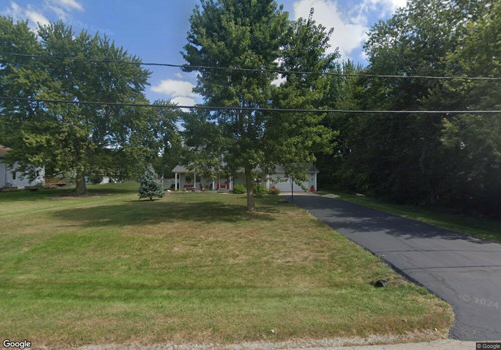
691 N Center St Braidwood, IL 60408
Estimated Value: $339,000 - $378,000
4
Beds
3
Baths
2,165
Sq Ft
$168/Sq Ft
Est. Value
About This Home
This home is located at 691 N Center St, Braidwood, IL 60408 and is currently estimated at $363,839, approximately $168 per square foot. 691 N Center St is a home located in Will County with nearby schools including Reed-Custer Intermediate School, Reed-Custer Middle School, and Reed-Custer High School.
Ownership History
Date
Name
Owned For
Owner Type
Purchase Details
Closed on
Aug 16, 2018
Sold by
Phelps Raymond M and Phelps Debra K
Bought by
Fennell Kevin E and Fennell Denise N
Current Estimated Value
Home Financials for this Owner
Home Financials are based on the most recent Mortgage that was taken out on this home.
Original Mortgage
$184,000
Outstanding Balance
$160,215
Interest Rate
4.62%
Mortgage Type
New Conventional
Estimated Equity
$203,624
Purchase Details
Closed on
Nov 9, 2010
Sold by
Mills Harvie D and Mills Mary Ann
Bought by
Phelps Raymond M
Create a Home Valuation Report for This Property
The Home Valuation Report is an in-depth analysis detailing your home's value as well as a comparison with similar homes in the area
Home Values in the Area
Average Home Value in this Area
Purchase History
| Date | Buyer | Sale Price | Title Company |
|---|---|---|---|
| Fennell Kevin E | $230,000 | Attorney | |
| Phelps Raymond M | $189,900 | -- |
Source: Public Records
Mortgage History
| Date | Status | Borrower | Loan Amount |
|---|---|---|---|
| Open | Fennell Kevin E | $184,000 |
Source: Public Records
Tax History
| Year | Tax Paid | Tax Assessment Tax Assessment Total Assessment is a certain percentage of the fair market value that is determined by local assessors to be the total taxable value of land and additions on the property. | Land | Improvement |
|---|---|---|---|---|
| 2024 | $6,840 | $110,494 | $12,168 | $98,326 |
| 2023 | $6,840 | $98,964 | $10,898 | $88,066 |
| 2022 | $5,761 | $89,804 | $9,889 | $79,915 |
| 2021 | $5,578 | $85,716 | $9,439 | $76,277 |
| 2020 | $5,294 | $81,209 | $8,943 | $72,266 |
| 2019 | $4,994 | $76,685 | $8,445 | $68,240 |
| 2018 | $3,473 | $54,693 | $8,081 | $46,612 |
| 2017 | $3,405 | $53,621 | $7,923 | $45,698 |
| 2016 | $3,314 | $51,857 | $7,662 | $44,195 |
| 2015 | $3,192 | $50,518 | $7,464 | $43,054 |
| 2014 | $3,192 | $50,518 | $7,464 | $43,054 |
| 2013 | $3,192 | $54,030 | $7,983 | $46,047 |
Source: Public Records
Map
Nearby Homes
- 000 W Cermak Rd
- 599 N School St
- 470 N School St
- 459 N School St
- 364 W Anndon St
- 386 W 3rd St
- 46 Lakeshore Dr
- 495 W 6th St
- 0000 N Division St
- 495 N Division St
- 484 W 3rd St
- 430 N Division St
- 560 N Washington St
- 68 Fossil Cove Ln
- 271 Fossil Bay Ct
- 64 Fossil Ridge Rd
- 302 Oak St
- 158 S Railroad St
- 106 Harbor Landing
- 13 Hole in The Wall Rd
- 617 N Center St
- 102 E Cermak Rd
- 102 E Cermak Rd
- 102 E Cermak Rd
- 104 W Bodine Dr
- 103 W Bodine Dr
- 0000 N Center St
- 690 N Schmidt Rd
- 795 N Center St
- 104 W Cermak Rd
- 130 E Cermak Rd
- 109 W Bodine Dr
- 4 W Cermak Rd
- 122 W Bodine Dr
- 105 E Cermak Rd
- 110 W Cermak Rd
- 115 E Cermak Rd
- 114 W Cermak Rd
- 801 N Center St
- 127 W Bodine Dr
Your Personal Tour Guide
Ask me questions while you tour the home.