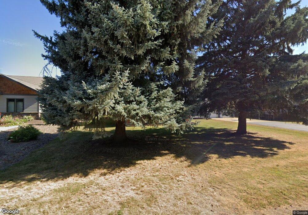
691 Ponder Point Dr Sandpoint, ID 83864
Estimated Value: $1,000,000 - $1,616,000
3
Beds
4
Baths
3,278
Sq Ft
$402/Sq Ft
Est. Value
About This Home
This home is located at 691 Ponder Point Dr, Sandpoint, ID 83864 and is currently estimated at $1,319,071, approximately $402 per square foot. 691 Ponder Point Dr is a home with nearby schools including Kootenai Elementary School, Sandpoint Middle School, and Sandpoint High School.
Ownership History
Date
Name
Owned For
Owner Type
Purchase Details
Closed on
Jul 23, 2019
Sold by
Langdon Robert James and Overend Marilyn C
Bought by
Roudebush Charles and Martin Edith
Current Estimated Value
Purchase Details
Closed on
Jul 26, 2018
Sold by
Domes Shirley Marie
Bought by
Langdon Robert James and Overend Marilyn C
Purchase Details
Closed on
Jan 22, 2018
Sold by
Owens Denny K and Owens Patricia A
Bought by
Domes Shirley Marie
Purchase Details
Closed on
Dec 12, 2006
Sold by
Owens Denny K and Owens Patricia A
Bought by
Owens Denny K and Owens Patricia A
Create a Home Valuation Report for This Property
The Home Valuation Report is an in-depth analysis detailing your home's value as well as a comparison with similar homes in the area
Home Values in the Area
Average Home Value in this Area
Purchase History
| Date | Buyer | Sale Price | Title Company |
|---|---|---|---|
| Roudebush Charles | -- | Title One | |
| Langdon Robert James | -- | North Idaho Title Co | |
| Domes Shirley Marie | -- | North Idaho Title Co | |
| Owens Denny K | -- | -- |
Source: Public Records
Tax History Compared to Growth
Tax History
| Year | Tax Paid | Tax Assessment Tax Assessment Total Assessment is a certain percentage of the fair market value that is determined by local assessors to be the total taxable value of land and additions on the property. | Land | Improvement |
|---|---|---|---|---|
| 2025 | $4,907 | $1,295,686 | $254,176 | $1,041,510 |
| 2024 | $4,907 | $1,284,101 | $211,141 | $1,072,960 |
| 2023 | $5,203 | $1,280,273 | $211,141 | $1,069,132 |
| 2022 | $4,875 | $1,096,760 | $204,268 | $892,492 |
| 2021 | $605 | $95,634 | $95,634 | $0 |
| 2020 | $587 | $86,940 | $86,940 | $0 |
| 2019 | $461 | $72,450 | $72,450 | $0 |
| 2018 | $484 | $63,000 | $63,000 | $0 |
| 2017 | $484 | $63,000 | $0 | $0 |
| 2016 | $474 | $60,000 | $0 | $0 |
| 2015 | -- | $60,000 | $0 | $0 |
| 2014 | -- | $60,000 | $0 | $0 |
Source: Public Records
Map
Nearby Homes
- 712 Ponder Point Dr
- 32056 Idaho 200
- 67 Spur Dr
- 101 Sprague St
- 193 Ponder Point Ln
- 0 Idaho 200
- 213 Humbird St
- 170 Kootenai Bay Rd
- 605 McGhee Ct
- 407 Hope St
- 0 W 2nd Ave Boise St Unit 25-9122
- 125 Rebeccas Way
- 61 Whiskey Jack Rd
- 81 Kuskanook Rd
- 430 6th St
- 11 Secret Cove
- 213 Brittany Loop
- 310 Seven Sisters Dr
- 667 Ponder Point Dr
- 193 Ponder Point Dr
- 402 Upper Humbird Dr
- 0 Ponder Pt Lot 12 Dr
- 0
- 439 Up Humbird Dr
- 439 Upper Humbird Dr
- 653 Ponder Point Dr
- 419 Upper Humbird Dr
- 461 Upper Humbird Dr
- 162 Spur Dr
- 452 Upper Humbird Dr
- 477 Upper Humbird Dr
- 621 Ponder Point Dr
- 694 Ponder Point Dr
- 688 Ponder Point Dr
- 150 Spur Dr
- 377 Upper Humbird Dr
- 662 Ponder Point Dr
- 747 Ponder Point Dr
