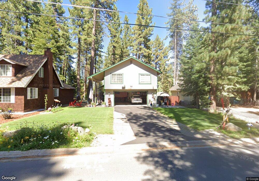
691 Tahoe Island Dr South Lake Tahoe, CA 96150
Estimated Value: $738,525 - $858,000
3
Beds
2
Baths
1,713
Sq Ft
$454/Sq Ft
Est. Value
About This Home
This home is located at 691 Tahoe Island Dr, South Lake Tahoe, CA 96150 and is currently estimated at $777,881, approximately $454 per square foot. 691 Tahoe Island Dr is a home located in El Dorado County with nearby schools including Tahoe Valley Elementary School, South Tahoe Middle School, and South Tahoe High School.
Ownership History
Date
Name
Owned For
Owner Type
Purchase Details
Closed on
Jan 15, 2013
Sold by
Baumann Mark R and Baumann Melissa S
Bought by
Baumann Mark R and Baumann Melissa S
Current Estimated Value
Purchase Details
Closed on
Sep 12, 2006
Sold by
Baumann Melissa and Barnum Melissa
Bought by
Baumann Mark R and Baumann Melissa
Purchase Details
Closed on
Apr 11, 1994
Sold by
Hoy Susanne B
Bought by
Barnum Leland P and Barnum Melissa
Create a Home Valuation Report for This Property
The Home Valuation Report is an in-depth analysis detailing your home's value as well as a comparison with similar homes in the area
Home Values in the Area
Average Home Value in this Area
Purchase History
| Date | Buyer | Sale Price | Title Company |
|---|---|---|---|
| Baumann Mark R | -- | None Available | |
| Baumann Mark R | -- | None Available | |
| Baumann Mark R | -- | None Available | |
| Barnum Leland P | $25,000 | Placer Title Company |
Source: Public Records
Tax History Compared to Growth
Tax History
| Year | Tax Paid | Tax Assessment Tax Assessment Total Assessment is a certain percentage of the fair market value that is determined by local assessors to be the total taxable value of land and additions on the property. | Land | Improvement |
|---|---|---|---|---|
| 2025 | $3,085 | $294,956 | $42,467 | $252,489 |
| 2024 | $3,085 | $289,174 | $41,635 | $247,539 |
| 2023 | $3,031 | $283,505 | $40,819 | $242,686 |
| 2022 | $2,999 | $277,947 | $40,019 | $237,928 |
| 2021 | $2,952 | $272,498 | $39,235 | $233,263 |
| 2020 | $2,909 | $269,705 | $38,833 | $230,872 |
| 2019 | $2,893 | $264,418 | $38,072 | $226,346 |
| 2018 | $2,828 | $259,234 | $37,326 | $221,908 |
| 2017 | $2,783 | $254,152 | $36,595 | $217,557 |
| 2016 | $2,725 | $249,170 | $35,878 | $213,292 |
| 2015 | $2,695 | $245,429 | $35,340 | $210,089 |
| 2014 | $2,585 | $240,624 | $34,649 | $205,975 |
Source: Public Records
Map
Nearby Homes
- 724 Tahoe Island Dr
- 741 Tahoe Island Dr
- 2191 Butler Ave
- 2071 Venice Dr Unit 294
- 552 Christie Dr Unit 307
- 552 Christie Dr Unit 303
- 2081 Venice Dr Unit 285
- 2081 Venice Dr Unit 280
- 2031 Venice Dr Unit 322
- 569 Lucerne Way
- 673 James Ave
- 2028 13th St
- 776 Patricia Ln
- 629 James Ave
- 1938 Marconi Way
- 2185 Morro Dr
- 2244 Texas Ave
- 914 Tahoe Island Dr
- 581 Alpine Dr
- 1932 Kokanee Way
- 683 Tahoe Island Dr
- 697 Tahoe Island Dr
- 681 Tahoe Island Dr
- 701 Tahoe Island Dr
- 692 Tahoe Island Dr
- 698 Tahoe Island Dr
- 705 Tahoe Island Dr
- 677 Tahoe Island Dr
- 2150 12th St
- 680 Tahoe Island Dr Unit A-B
- 680 Tahoe Island Dr
- 704 Tahoe Island Dr
- 709 Tahoe Island Dr
- 673 Tahoe Island Dr
- 2147 12th St
- 2140 12th St
- 708 Tahoe Island Dr
- 2143 12th St
- 667 Tahoe Island Dr
- 714 Tahoe Island Dr