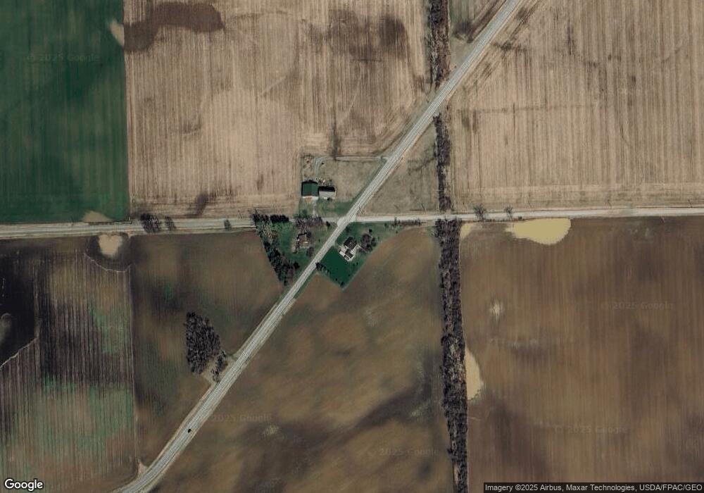
6911 W Weston Rd Morenci, MI 49256
Estimated Value: $175,000 - $180,000
3
Beds
1
Bath
1,440
Sq Ft
$123/Sq Ft
Est. Value
About This Home
This home is located at 6911 W Weston Rd, Morenci, MI 49256 and is currently estimated at $177,682, approximately $123 per square foot. 6911 W Weston Rd is a home located in Lenawee County with nearby schools including Morenci Elementary School and Morenci Middle/High School.
Ownership History
Date
Name
Owned For
Owner Type
Purchase Details
Closed on
Oct 4, 2013
Sold by
Clark Robert D and Clark Bonnie A
Bought by
Power Travis Anthony
Current Estimated Value
Home Financials for this Owner
Home Financials are based on the most recent Mortgage that was taken out on this home.
Original Mortgage
$52,800
Outstanding Balance
$13,987
Interest Rate
4.58%
Mortgage Type
New Conventional
Estimated Equity
$163,695
Create a Home Valuation Report for This Property
The Home Valuation Report is an in-depth analysis detailing your home's value as well as a comparison with similar homes in the area
Home Values in the Area
Average Home Value in this Area
Purchase History
| Date | Buyer | Sale Price | Title Company |
|---|---|---|---|
| Power Travis Anthony | $100,000 | Prestige Title Insurance Age |
Source: Public Records
Mortgage History
| Date | Status | Borrower | Loan Amount |
|---|---|---|---|
| Open | Power Travis Anthony | $52,800 |
Source: Public Records
Tax History Compared to Growth
Tax History
| Year | Tax Paid | Tax Assessment Tax Assessment Total Assessment is a certain percentage of the fair market value that is determined by local assessors to be the total taxable value of land and additions on the property. | Land | Improvement |
|---|---|---|---|---|
| 2025 | $1,776 | $68,400 | $0 | $0 |
| 2024 | $602 | $68,400 | $0 | $0 |
| 2022 | $529 | $56,500 | $0 | $0 |
| 2021 | $1,581 | $48,700 | $0 | $0 |
| 2020 | $1,545 | $45,300 | $0 | $0 |
| 2019 | $137,600 | $43,900 | $0 | $0 |
| 2018 | $1,498 | $43,872 | $0 | $0 |
| 2017 | $1,456 | $43,049 | $0 | $0 |
| 2016 | $1,564 | $46,592 | $0 | $0 |
| 2014 | -- | $51,867 | $0 | $0 |
Source: Public Records
Map
Nearby Homes
- 7540 W Weston Rd
- 9088 Elliott Hwy
- 8058 Packard Rd
- 8288 Packard Rd
- 4113 Seneca St
- 4084 Seneca St
- 13890 Rice Hwy
- 507 Page St
- 328 E Main St
- 10554 Hickory St
- 205 E Chestnut St
- 511 E Main St
- 136 E Chestnut St
- 114 W Walnut St
- 403 N Summit St
- 141 E Main St
- 402 Pearl St
- 128 E Lagrange St
- 210 W Locust St
- 221 N Summit St
- 6916 W Weston Rd
- 5000 Ridgeville Rd
- 6682 W Weston Rd
- 11103 Camburn Hwy
- 10919 Clement Hwy
- 7281 W Ridgeville Rd
- 7338 W Ridgeville Rd
- 6934 Sparks Rd
- 10645 Camburn Hwy
- 11243 Camburn Hwy
- 7388 W Weston Rd
- 11912 Camburn Hwy
- 11220 Elliott Hwy
- 7492 W Weston Rd
- 10277 Clement Hwy
- 10931 Elliott Hwy
- 11825 Camburn Hwy
- 11311 Elliott Hwy
- 10645 Elliott Hwy
- 11552 Elliott Hwy
