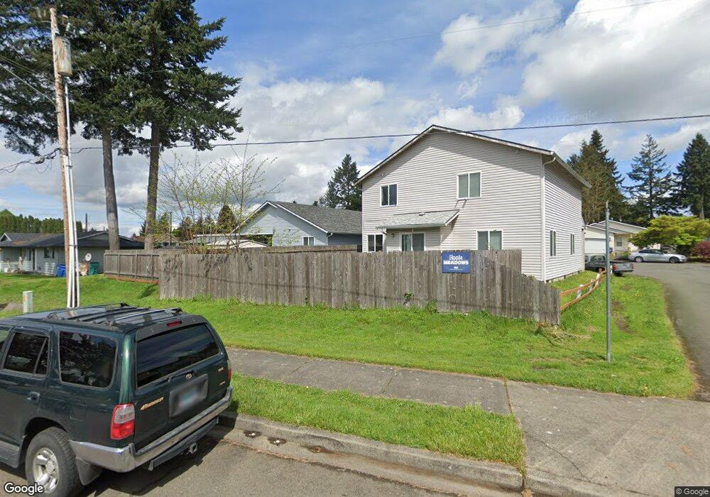
6912 NE 132nd Ct Vancouver, WA 98682
Orchards Area NeighborhoodEstimated Value: $434,000 - $449,644
3
Beds
2
Baths
1,240
Sq Ft
$357/Sq Ft
Est. Value
About This Home
This home is located at 6912 NE 132nd Ct, Vancouver, WA 98682 and is currently estimated at $442,411, approximately $356 per square foot. 6912 NE 132nd Ct is a home located in Clark County with nearby schools including Sifton Elementary School, Covington Middle School, and Heritage High School.
Ownership History
Date
Name
Owned For
Owner Type
Purchase Details
Closed on
Apr 19, 2001
Sold by
Leber Company Inc
Bought by
Williams Barbara A and Williams Carla J
Current Estimated Value
Home Financials for this Owner
Home Financials are based on the most recent Mortgage that was taken out on this home.
Original Mortgage
$102,150
Outstanding Balance
$37,544
Interest Rate
6.98%
Estimated Equity
$404,867
Create a Home Valuation Report for This Property
The Home Valuation Report is an in-depth analysis detailing your home's value as well as a comparison with similar homes in the area
Home Values in the Area
Average Home Value in this Area
Purchase History
| Date | Buyer | Sale Price | Title Company |
|---|---|---|---|
| Williams Barbara A | $113,500 | Charter Title Corporation |
Source: Public Records
Mortgage History
| Date | Status | Borrower | Loan Amount |
|---|---|---|---|
| Open | Williams Barbara A | $102,150 |
Source: Public Records
Tax History Compared to Growth
Tax History
| Year | Tax Paid | Tax Assessment Tax Assessment Total Assessment is a certain percentage of the fair market value that is determined by local assessors to be the total taxable value of land and additions on the property. | Land | Improvement |
|---|---|---|---|---|
| 2025 | $3,888 | $393,672 | $175,500 | $218,172 |
| 2024 | $3,930 | $382,741 | $175,500 | $207,241 |
| 2023 | $3,838 | $399,909 | $180,900 | $219,009 |
| 2022 | $3,521 | $391,283 | $180,900 | $210,383 |
| 2021 | $3,257 | $334,303 | $153,900 | $180,403 |
| 2020 | $3,041 | $290,880 | $135,000 | $155,880 |
| 2019 | $2,737 | $272,532 | $123,750 | $148,782 |
| 2018 | $2,858 | $264,690 | $0 | $0 |
| 2017 | $2,610 | $223,154 | $0 | $0 |
| 2016 | $2,485 | $212,770 | $0 | $0 |
| 2015 | $2,358 | $188,651 | $0 | $0 |
| 2014 | -- | $170,308 | $0 | $0 |
| 2013 | -- | $152,609 | $0 | $0 |
Source: Public Records
Map
Nearby Homes
- 6912 NE 131st Ave Unit 10
- 13605 NE 72nd St
- 11025 NE 137th Ave
- 0 NE 137th Ave
- 13012 NE 76th St
- 12707 NE 76th St
- 13713 NE 64th Cir
- 6406 NE 139th Ct
- 6200 NE 138th Ave
- 13216 NE 59th St Unit 25
- 13216 NE 59th St Unit 34
- 13216 NE 59th St Unit 24
- 14218 NE 69th St
- 5721 NE 129th Place
- 6908 NE 144th Ct
- 5613 N East 129th Place
- 8009 NE 139th Ave
- 12881 NE 56th St
- 8605 NE 136th Ave Unit 135
- 13001 NE 83rd St
- 6908 NE 132nd Ct
- 13110 NE Kerr Rd Unit A
- 6916 NE 132nd Ct
- 6909 NE 132nd Ct
- 6920 NE 132nd Ct
- 6905 NE 131st Ave
- 6931 NE 131st Ave Unit 33
- 6909 NE 131st Ave
- 6917 NE 132nd Ct
- 6914 NE 133rd Ave
- 13303 NE Kerr Rd
- 13201 NE 71st St
- 6910 NE 131st Ave
- 7004 NE 133rd Ave
- 13307 NE Kerr Rd
- 13111 NE 71st St
- 13310 NE Kerr Rd
- 7006 NE 131st Ave
- 7012 NE 133rd Ave
- 13312 NE Kerr Rd