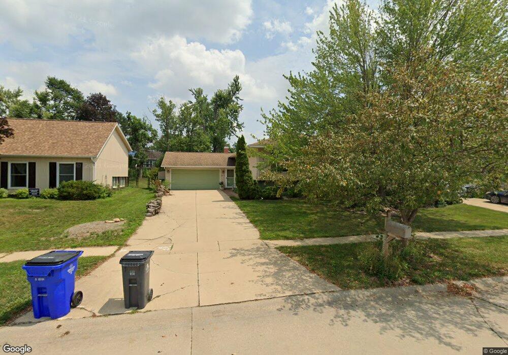
6912 Surrey Dr NE Cedar Rapids, IA 52402
Estimated Value: $264,000 - $272,351
4
Beds
3
Baths
2,132
Sq Ft
$126/Sq Ft
Est. Value
About This Home
This home is located at 6912 Surrey Dr NE, Cedar Rapids, IA 52402 and is currently estimated at $268,588, approximately $125 per square foot. 6912 Surrey Dr NE is a home located in Linn County with nearby schools including Bowman Woods Elementary School, Oak Ridge School, and Linn-Mar High School.
Ownership History
Date
Name
Owned For
Owner Type
Purchase Details
Closed on
Nov 2, 2008
Sold by
Airy Ray Dean and Airy Janice L
Bought by
Moriarty James Paul and Moriarty Dawn Lin
Current Estimated Value
Home Financials for this Owner
Home Financials are based on the most recent Mortgage that was taken out on this home.
Original Mortgage
$134,400
Outstanding Balance
$85,657
Interest Rate
5.5%
Mortgage Type
Purchase Money Mortgage
Estimated Equity
$182,931
Create a Home Valuation Report for This Property
The Home Valuation Report is an in-depth analysis detailing your home's value as well as a comparison with similar homes in the area
Home Values in the Area
Average Home Value in this Area
Purchase History
| Date | Buyer | Sale Price | Title Company |
|---|---|---|---|
| Moriarty James Paul | $167,500 | None Available |
Source: Public Records
Mortgage History
| Date | Status | Borrower | Loan Amount |
|---|---|---|---|
| Open | Moriarty James Paul | $134,400 |
Source: Public Records
Tax History Compared to Growth
Tax History
| Year | Tax Paid | Tax Assessment Tax Assessment Total Assessment is a certain percentage of the fair market value that is determined by local assessors to be the total taxable value of land and additions on the property. | Land | Improvement |
|---|---|---|---|---|
| 2025 | $4,048 | $241,700 | $43,300 | $198,400 |
| 2024 | $4,574 | $224,800 | $40,200 | $184,600 |
| 2023 | $4,574 | $224,100 | $40,200 | $183,900 |
| 2022 | $4,086 | $209,000 | $34,000 | $175,000 |
| 2021 | $3,876 | $193,500 | $34,000 | $159,500 |
| 2020 | $3,876 | $173,700 | $29,400 | $144,300 |
| 2019 | $3,900 | $176,400 | $29,400 | $147,000 |
| 2018 | $3,730 | $176,400 | $29,400 | $147,000 |
| 2017 | $3,621 | $166,100 | $29,400 | $136,700 |
| 2016 | $3,621 | $161,900 | $29,400 | $132,500 |
| 2015 | $3,671 | $163,905 | $29,391 | $134,514 |
| 2014 | $3,476 | $171,707 | $18,563 | $153,144 |
| 2013 | $3,524 | $171,707 | $18,563 | $153,144 |
Source: Public Records
Map
Nearby Homes
- 7001 Surrey Dr NE
- 342 Cambridge Dr NE
- 364 Willshire Ct NE
- 291 Crandall Dr NE
- 390 Crandall Dr NE
- 7104 Brentwood Dr NE
- 1151 Plumwood Ct NE
- 221 Brentwood Dr NE
- 179 Crandall Dr NE
- 201 Brentwood Dr NE
- 117 Brentwood Dr NE
- 7604 Princeton Dr NE
- 634 White Ivy Place NE
- 7421 Pin Tail Dr NE
- 3010 Newcastle Rd
- 201 Teakwood Ln NE
- 721 Broderick Dr NE Unit C
- 702 73rd St NE
- 2140 Newcastle Rd
- 2654 Mulberry Ct
- 6916 Surrey Dr NE
- 6908 Surrey Dr NE
- 6913 Larkwood Dr NE
- 6909 Larkwood Dr NE
- 6920 Surrey Dr NE
- 6917 Larkwood Dr NE
- 6904 Surrey Dr NE
- 6913 Surrey Dr NE
- 6921 Larkwood Dr NE
- 6909 Surrey Dr NE
- 6917 Surrey Dr NE
- 6905 Larkwood Dr NE
- 6924 Surrey Dr NE
- 6921 Surrey Dr NE
- 6905 Surrey Dr NE
- 6925 Larkwood Dr NE
- 6925 Surrey Dr NE
- 6908 Chelsea Dr NE
- 7004 Surrey Dr NE
- 6912 Chelsea Dr NE