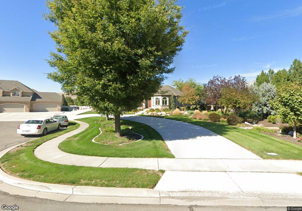
6912 W 10205 N Unit 12 Highland, UT 84003
Estimated Value: $1,419,000 - $1,830,000
--
Bed
6
Baths
2,712
Sq Ft
$615/Sq Ft
Est. Value
About This Home
This home is located at 6912 W 10205 N Unit 12, Highland, UT 84003 and is currently estimated at $1,668,318, approximately $615 per square foot. 6912 W 10205 N Unit 12 is a home located in Utah County with nearby schools including Freedom Elementary School, Mountain Ridge Junior High School, and American Fork High School.
Ownership History
Date
Name
Owned For
Owner Type
Purchase Details
Closed on
Apr 8, 2003
Sold by
Nakagawa Fred Kay and Nakagawa Suzanne
Bought by
Nakagawa Fred K and Nakagawa Suzanne
Current Estimated Value
Purchase Details
Closed on
Mar 7, 2002
Sold by
Moser Bryan
Bought by
Nakagawa Fred Kay and Nakagawa Suzanne
Home Financials for this Owner
Home Financials are based on the most recent Mortgage that was taken out on this home.
Original Mortgage
$380,600
Outstanding Balance
$157,644
Interest Rate
6.94%
Estimated Equity
$1,510,674
Purchase Details
Closed on
Mar 29, 2001
Sold by
Hr Development Lc
Bought by
Moser Bryan
Home Financials for this Owner
Home Financials are based on the most recent Mortgage that was taken out on this home.
Original Mortgage
$360,500
Interest Rate
7.06%
Mortgage Type
Construction
Create a Home Valuation Report for This Property
The Home Valuation Report is an in-depth analysis detailing your home's value as well as a comparison with similar homes in the area
Home Values in the Area
Average Home Value in this Area
Purchase History
| Date | Buyer | Sale Price | Title Company |
|---|---|---|---|
| Nakagawa Fred K | -- | -- | |
| Nakagawa Fred Kay | -- | First American Title Co | |
| Moser Bryan | -- | First American Title Ins Age |
Source: Public Records
Mortgage History
| Date | Status | Borrower | Loan Amount |
|---|---|---|---|
| Open | Nakagawa Fred Kay | $380,600 | |
| Previous Owner | Moser Bryan | $360,500 | |
| Closed | Nakagawa Fred Kay | $173,000 |
Source: Public Records
Tax History Compared to Growth
Tax History
| Year | Tax Paid | Tax Assessment Tax Assessment Total Assessment is a certain percentage of the fair market value that is determined by local assessors to be the total taxable value of land and additions on the property. | Land | Improvement |
|---|---|---|---|---|
| 2025 | $6,097 | $843,480 | $717,500 | $816,100 |
| 2024 | $6,097 | $753,115 | $0 | $0 |
| 2023 | $5,814 | $774,620 | $0 | $0 |
| 2022 | $5,924 | $765,435 | $0 | $0 |
| 2021 | $5,400 | $1,039,200 | $465,100 | $574,100 |
| 2020 | $5,096 | $961,800 | $404,400 | $557,400 |
| 2019 | $4,871 | $961,800 | $404,400 | $557,400 |
| 2018 | $5,048 | $947,100 | $389,700 | $557,400 |
| 2017 | $4,881 | $488,785 | $0 | $0 |
| 2016 | $4,776 | $446,985 | $0 | $0 |
| 2015 | $4,996 | $443,245 | $0 | $0 |
| 2014 | $4,457 | $391,930 | $0 | $0 |
Source: Public Records
Map
Nearby Homes
- 9967 N 6670 W
- 9924 N 6630 W Unit 9
- 6576 W 9810 N
- 859 E 2125 N
- 6372 W 10400 N
- 2208 N 825 E
- 6373 W 10500 N
- 975 E 2850 N
- 1602 E Center Pointe Dr
- 1602 E Center Pointe Dr Unit 1
- 1610 E Center Pointe Dr
- 1618 E Center Pointe Dr
- 1961 N 825 E
- 6190 W 10050 N
- 2752 N 600 E
- 9435 N Aspen Hollow Cir
- 6271 W 10830 St N
- 1370 N Cedar Hollow Blvd
- 3368 N 700 E
- 11337 N 5950 W Unit 7
- 6912 W 10205 N
- 6862 W 10205 N Unit 11
- 10215 N 6890 W
- 10215 N 6890 W Unit 13
- 6855 W 10300 N
- 6855 W 10300 N Unit 1
- 6907 W 10300 N
- 6848 W 10205 N
- 6848 W 10205 N Unit 10
- 10197 N 6890 W
- 6893 W 10205 N
- 6871 W 10205 N
- 6871 W 10205 N Unit 6
- 6835 W 10300 N Unit 2
- 6925 W 10300 N
- 10183 6890 W Unit 15
- 6828 W 10205 N
- 6828 W 10205 N Unit 9
- 6847 W 10205 N
- 6847 W 10205 N Unit 7