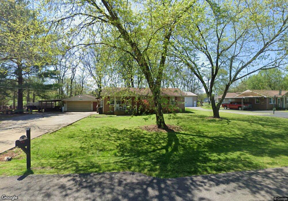
6913 Forrest Ln Murfreesboro, TN 37129
Estimated Value: $260,377 - $324,000
Studio
2
Baths
1,200
Sq Ft
$253/Sq Ft
Est. Value
About This Home
This home is located at 6913 Forrest Ln, Murfreesboro, TN 37129 and is currently estimated at $303,844, approximately $253 per square foot. 6913 Forrest Ln is a home located in Rutherford County with nearby schools including Stewartsboro Elementary School, Rocky Fork Middle School, and Smyrna High School.
Ownership History
Date
Name
Owned For
Owner Type
Purchase Details
Closed on
May 5, 2004
Sold by
Robinson Herman J and Robinson Brenda
Bought by
Dustin Mcgee Corey
Current Estimated Value
Home Financials for this Owner
Home Financials are based on the most recent Mortgage that was taken out on this home.
Original Mortgage
$96,139
Outstanding Balance
$45,044
Interest Rate
5.49%
Estimated Equity
$258,800
Create a Home Valuation Report for This Property
The Home Valuation Report is an in-depth analysis detailing your home's value as well as a comparison with similar homes in the area
Home Values in the Area
Average Home Value in this Area
Purchase History
| Date | Buyer | Sale Price | Title Company |
|---|---|---|---|
| Dustin Mcgee Corey | $96,900 | -- |
Source: Public Records
Mortgage History
| Date | Status | Borrower | Loan Amount |
|---|---|---|---|
| Open | Dustin Mcgee Corey | $96,139 |
Source: Public Records
Tax History
| Year | Tax Paid | Tax Assessment Tax Assessment Total Assessment is a certain percentage of the fair market value that is determined by local assessors to be the total taxable value of land and additions on the property. | Land | Improvement |
|---|---|---|---|---|
| 2025 | $1,044 | $55,650 | $13,750 | $41,900 |
| 2024 | $1,044 | $55,650 | $13,750 | $41,900 |
| 2023 | $1,044 | $55,650 | $13,750 | $41,900 |
| 2022 | $899 | $55,650 | $13,750 | $41,900 |
| 2021 | $804 | $36,225 | $7,000 | $29,225 |
| 2020 | $804 | $36,225 | $7,000 | $29,225 |
| 2019 | $804 | $36,225 | $7,000 | $29,225 |
| 2018 | $761 | $36,225 | $0 | $0 |
| 2017 | $735 | $27,425 | $0 | $0 |
| 2016 | $735 | $27,425 | $0 | $0 |
| 2015 | $735 | $27,425 | $0 | $0 |
| 2014 | $682 | $27,425 | $0 | $0 |
| 2013 | -- | $23,125 | $0 | $0 |
Source: Public Records
Map
Nearby Homes
- 6903 Cooks Ave
- 6810 Longview Dr
- 6719 Forrest Ln
- 8803 Plum St
- 1246 Rimrock Rd
- 706 Aubrey Sue Pass
- 445 Burton Farms Dr
- 6610 Longview Dr
- 433 Burton Farms Dr
- 425 Burton Farms Dr
- 6541 Kari Dr
- 1210 Piper Glen Rd
- 1222 Emmie Reece Dr
- 6620 Amanda Way
- 6358 Lee Ave
- 1176 Rimrock Rd
- 1175 Rimrock Rd
- 2 Old Nashville Hwy
- 0 Old Nashville Hwy
- 228 Eusa Cantrell Ln
- 6919 Forrest Ln
- 6907 Forrest Ln
- 6914 Forrest Ln
- 6768 Summertime Dr
- 6908 Forrest Ln
- 6920 Forrest Ln
- 6901 Cooks Ct
- 6821 Cooks Ave
- 6762 Summertime Dr
- 7001 Forrest Ln
- 6815 Cooks Ave
- 6783 Cooks Ct
- 6926 Forrest Ln
- 6803 Cooks Ave
- 6827 Cooks Ave
- 6809 Cooks Ave
- 6763 Summertime Dr
- 7007 Forrest Ln
- 7004 Forrest Ln
- 6813 Forrest Ln
Your Personal Tour Guide
Ask me questions while you tour the home.