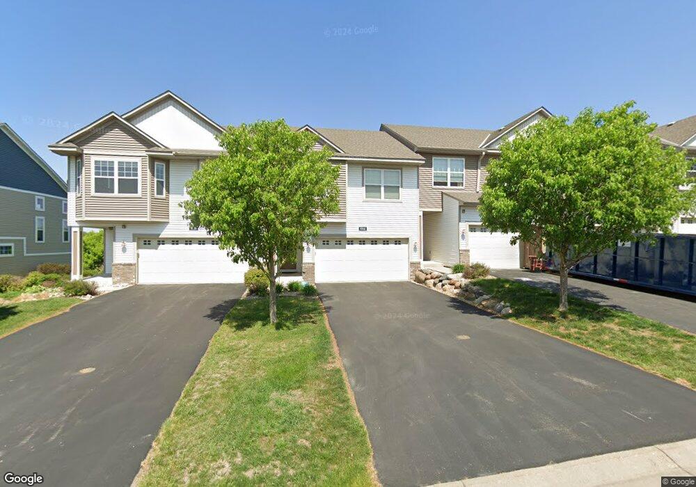
6914 151st St Savage, MN 55378
Estimated Value: $327,000 - $360,000
3
Beds
3
Baths
1,742
Sq Ft
$199/Sq Ft
Est. Value
About This Home
This home is located at 6914 151st St, Savage, MN 55378 and is currently estimated at $346,233, approximately $198 per square foot. 6914 151st St is a home located in Scott County with nearby schools including Redtail Ridge Elementary School, Hidden Oaks Middle School, and Twin Oaks Middle School.
Ownership History
Date
Name
Owned For
Owner Type
Purchase Details
Closed on
Apr 26, 2019
Sold by
Pint Suzanne M
Bought by
Fisher Timothy and Fisher Paola
Current Estimated Value
Home Financials for this Owner
Home Financials are based on the most recent Mortgage that was taken out on this home.
Original Mortgage
$252,200
Outstanding Balance
$104,338
Interest Rate
4%
Mortgage Type
Stand Alone First
Estimated Equity
$241,895
Purchase Details
Closed on
Feb 24, 2012
Sold by
Mattamy Minneapolis Partnership
Bought by
Pint Suzanne M
Home Financials for this Owner
Home Financials are based on the most recent Mortgage that was taken out on this home.
Original Mortgage
$164,191
Interest Rate
3.74%
Mortgage Type
FHA
Create a Home Valuation Report for This Property
The Home Valuation Report is an in-depth analysis detailing your home's value as well as a comparison with similar homes in the area
Home Values in the Area
Average Home Value in this Area
Purchase History
| Date | Buyer | Sale Price | Title Company |
|---|---|---|---|
| Fisher Timothy | $260,000 | North American Title Company | |
| Pint Suzanne M | $168,463 | None Available |
Source: Public Records
Mortgage History
| Date | Status | Borrower | Loan Amount |
|---|---|---|---|
| Open | Fisher Timothy | $252,200 | |
| Closed | Fisher Timothy | $252,200 | |
| Previous Owner | Pint Suzanne M | $164,191 |
Source: Public Records
Tax History Compared to Growth
Tax History
| Year | Tax Paid | Tax Assessment Tax Assessment Total Assessment is a certain percentage of the fair market value that is determined by local assessors to be the total taxable value of land and additions on the property. | Land | Improvement |
|---|---|---|---|---|
| 2025 | $3,012 | $304,900 | $129,700 | $175,200 |
| 2024 | $2,870 | $301,000 | $123,500 | $177,500 |
| 2023 | $2,878 | $280,400 | $114,400 | $166,000 |
| 2022 | $2,912 | $287,900 | $121,200 | $166,700 |
| 2021 | $2,844 | $250,300 | $95,900 | $154,400 |
| 2020 | $2,660 | $236,700 | $85,400 | $151,300 |
| 2019 | $2,762 | $217,500 | $72,100 | $145,400 |
| 2018 | $2,540 | $0 | $0 | $0 |
| 2016 | $2,398 | $0 | $0 | $0 |
| 2014 | -- | $0 | $0 | $0 |
Source: Public Records
Map
Nearby Homes
- 15125 Maryland Ave
- 15244 Maryland Ave
- 14952 Overlook Dr
- 7519 Arbor Ln
- 15587 Hampshire Ave S
- 7590 Crimson Ln
- 6534 157th St
- TBD Sumter Ave
- 7736 Stafford Trail
- 16056 Creekwood Rd
- 7002 S Park Dr
- TBD Quebec Place
- 14606 Beverly Ln
- 14549 Lockslie Trail
- 14578 Hunters Ln
- 14649 Sumter Ave
- 14774 Yosemite Ave S
- 7743 146th Terrace
- 7805 146th Terrace
- 14549 Beverly Ln