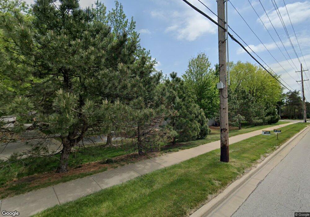
6915 W 125th St Leawood, KS 66209
Central Overland Park NeighborhoodEstimated Value: $371,000 - $402,884
2
Beds
3
Baths
1,419
Sq Ft
$272/Sq Ft
Est. Value
About This Home
This home is located at 6915 W 125th St, Leawood, KS 66209 and is currently estimated at $386,221, approximately $272 per square foot. 6915 W 125th St is a home located in Johnson County with nearby schools including Valley Park Elementary School, Overland Trail Middle School, and Blue Valley North High School.
Ownership History
Date
Name
Owned For
Owner Type
Purchase Details
Closed on
Sep 8, 2021
Sold by
Redding Janet L
Bought by
Redding Janet L and Janet L Redding Living Trust
Current Estimated Value
Purchase Details
Closed on
Aug 21, 2020
Sold by
Pulse Carl J
Bought by
Redding Janet
Purchase Details
Closed on
Mar 21, 2018
Sold by
Diaz Robert D and Walje Carol A
Bought by
Walje Carol A
Purchase Details
Closed on
Aug 18, 2010
Sold by
Howard Rita
Bought by
Howard Rita M
Purchase Details
Closed on
Mar 29, 2004
Sold by
Agron Howard W and Agron Nadine H
Bought by
Agron Howard W and Agron Nadine H
Create a Home Valuation Report for This Property
The Home Valuation Report is an in-depth analysis detailing your home's value as well as a comparison with similar homes in the area
Home Values in the Area
Average Home Value in this Area
Purchase History
| Date | Buyer | Sale Price | Title Company |
|---|---|---|---|
| Redding Janet L | -- | None Available | |
| Redding Janet | -- | Security 1St Title | |
| Walje Carol A | -- | None Available | |
| Howard Rita M | -- | None Available | |
| Agron Howard W | -- | -- |
Source: Public Records
Tax History Compared to Growth
Tax History
| Year | Tax Paid | Tax Assessment Tax Assessment Total Assessment is a certain percentage of the fair market value that is determined by local assessors to be the total taxable value of land and additions on the property. | Land | Improvement |
|---|---|---|---|---|
| 2024 | $4,161 | $40,986 | $4,968 | $36,018 |
| 2023 | $4,110 | $39,606 | $4,968 | $34,638 |
| 2022 | $3,614 | $34,247 | $4,968 | $29,279 |
| 2021 | $3,392 | $30,395 | $4,968 | $25,427 |
| 2020 | $3,398 | $30,246 | $4,520 | $25,726 |
| 2019 | $3,137 | $27,347 | $4,111 | $23,236 |
| 2018 | $3,269 | $27,922 | $3,289 | $24,633 |
| 2017 | $3,119 | $26,186 | $2,990 | $23,196 |
| 2016 | $2,866 | $24,047 | $2,990 | $21,057 |
| 2015 | $2,700 | $22,586 | $2,990 | $19,596 |
| 2013 | -- | $20,631 | $2,990 | $17,641 |
Source: Public Records
Map
Nearby Homes
- 12585 Broadmoor St
- 6800 W 125th St
- 12449 Barkley St
- 12543 Glenwood St
- 12656 Barkley St
- 12605 Glenwood St
- 7027 W 129th Place
- 12914 Travis Ct
- 6009 W 128th St
- 6019 W 124th St
- 6001 W 123rd St
- 8031 W 122nd Terrace
- 12229 Goodman St
- 8007 W 131st Terrace
- 8121 W 130th St
- 5708 W 129th St
- 7861 W 118th Terrace
- 12031 Hemlock St
- 8130 W 131st Ct
- 5448 W 128th Terrace
- 6911 W 125th St
- 6919 W 125th St
- 6907 W 125th St
- 6916 W 125th St
- 6912 W 125th St
- 12597 Broadmoor St
- 6920 W 125th St
- 6908 W 125th St
- 6904 W 125th St
- 12562 Broadmoor St
- 12599 Broadmoor St
- 12509 Broadmoor St
- 12505 Broadmoor St
- 6900 W 125th St
- 12513 Broadmoor St Unit 2
- 12564 Broadmoor St
- 12589 Broadmoor St
- 12501 Broadmoor St
- 12566 Broadmoor St
- 6852 W 125th St
