6916 W Weston Rd Morenci, MI 49256
Estimated Value: $139,000 - $852,505
3
Beds
1
Bath
1,754
Sq Ft
$264/Sq Ft
Est. Value
About This Home
This home is located at 6916 W Weston Rd, Morenci, MI 49256 and is currently estimated at $463,502, approximately $264 per square foot. 6916 W Weston Rd is a home located in Lenawee County with nearby schools including Morenci Elementary School and Morenci Middle/High School.
Ownership History
Date
Name
Owned For
Owner Type
Purchase Details
Closed on
Dec 1, 2014
Sold by
Sell Roger L and Wurst Delores S
Bought by
Gould Alan R and Gould Larry J
Current Estimated Value
Home Financials for this Owner
Home Financials are based on the most recent Mortgage that was taken out on this home.
Original Mortgage
$280,000
Outstanding Balance
$156,594
Interest Rate
3.91%
Mortgage Type
Future Advance Clause Open End Mortgage
Estimated Equity
$306,908
Purchase Details
Closed on
Apr 1, 1981
Bought by
Gould Alan
Create a Home Valuation Report for This Property
The Home Valuation Report is an in-depth analysis detailing your home's value as well as a comparison with similar homes in the area
Home Values in the Area
Average Home Value in this Area
Purchase History
| Date | Buyer | Sale Price | Title Company |
|---|---|---|---|
| Gould Alan R | $385,110 | None Available | |
| Gould Alan | -- | -- |
Source: Public Records
Mortgage History
| Date | Status | Borrower | Loan Amount |
|---|---|---|---|
| Open | Gould Alan R | $280,000 |
Source: Public Records
Tax History Compared to Growth
Tax History
| Year | Tax Paid | Tax Assessment Tax Assessment Total Assessment is a certain percentage of the fair market value that is determined by local assessors to be the total taxable value of land and additions on the property. | Land | Improvement |
|---|---|---|---|---|
| 2025 | $1,756 | $72,800 | $0 | $0 |
| 2024 | $595 | $71,700 | $0 | $0 |
| 2022 | $522 | $59,300 | $0 | $0 |
| 2021 | $1,563 | $51,000 | $0 | $0 |
| 2020 | $1,527 | $47,400 | $0 | $0 |
| 2019 | $133,800 | $43,200 | $0 | $0 |
| 2018 | $1,465 | $43,208 | $0 | $0 |
| 2017 | $1,425 | $41,962 | $0 | $0 |
| 2016 | $1,530 | $45,500 | $0 | $0 |
| 2014 | -- | $49,482 | $0 | $0 |
Source: Public Records
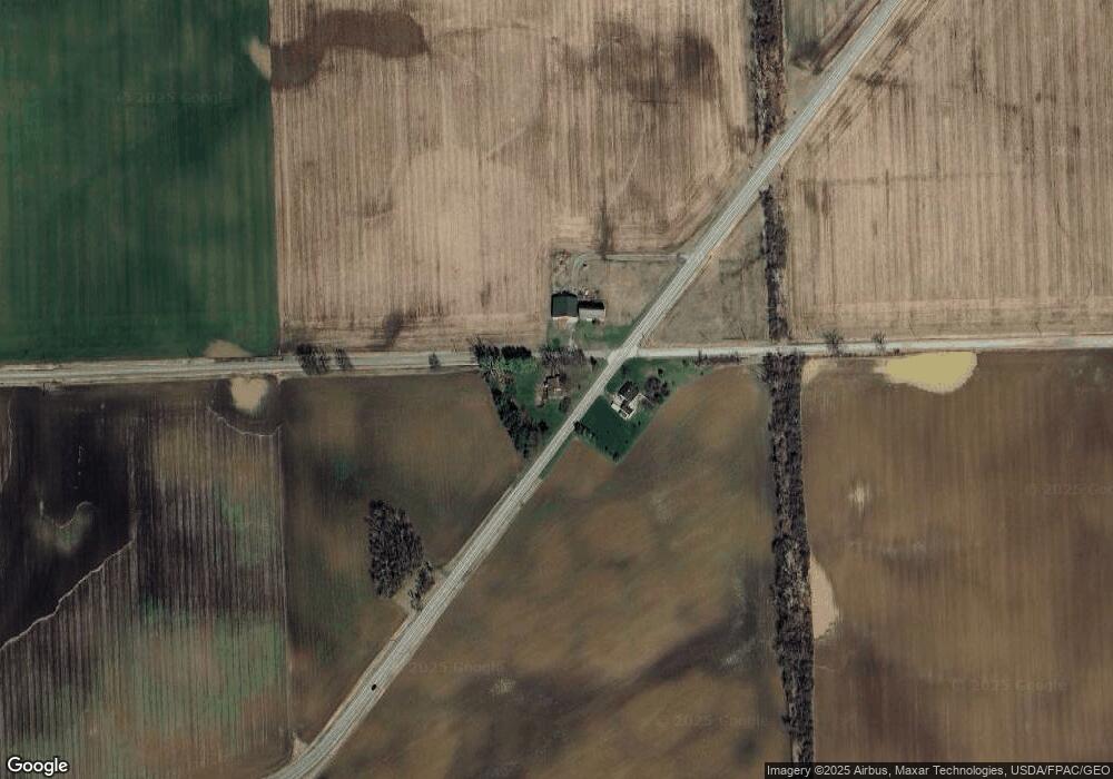
Map
Nearby Homes
- 7540 W Weston Rd
- 9088 Elliott Hwy
- 8058 Packard Rd
- 8288 Packard Rd
- 4113 Seneca St
- 4084 Seneca St
- 13890 Rice Hwy
- 507 Page St
- 328 E Main St
- 10554 Hickory St
- 205 E Chestnut St
- 511 E Main St
- 136 E Chestnut St
- 114 W Walnut St
- 403 N Summit St
- 141 E Main St
- 402 Pearl St
- 128 E Lagrange St
- 210 W Locust St
- 221 N Summit St
- 6911 W Weston Rd
- 5000 Ridgeville Rd
- 6682 W Weston Rd
- 10919 Clement Hwy
- 11103 Camburn Hwy
- 7281 W Ridgeville Rd
- 7338 W Ridgeville Rd
- 6934 Sparks Rd
- 10645 Camburn Hwy
- 11243 Camburn Hwy
- 7388 W Weston Rd
- 11912 Camburn Hwy
- 10277 Clement Hwy
- 7492 W Weston Rd
- 11220 Elliott Hwy
- 10931 Elliott Hwy
- 11825 Camburn Hwy
- 11311 Elliott Hwy
- 10645 Elliott Hwy
- 11552 Elliott Hwy