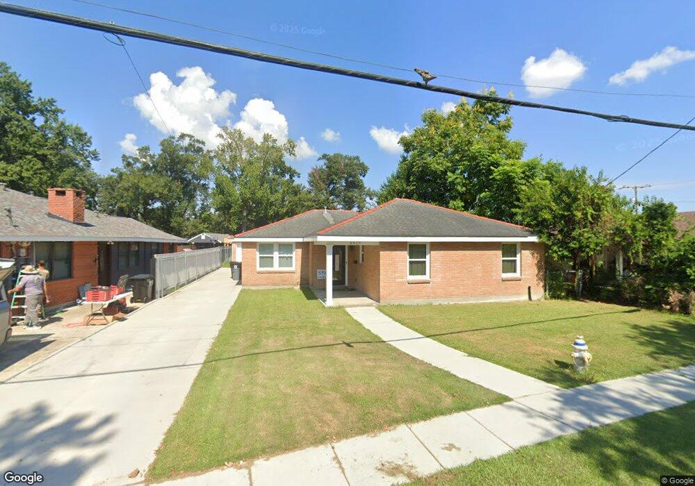
6917 Wilson St New Orleans, LA 70123
Estimated Value: $375,000 - $478,000
--
Bed
--
Bath
--
Sq Ft
0.34
Acres
About This Home
This home is located at 6917 Wilson St, New Orleans, LA 70123 and is currently estimated at $413,390. 6917 Wilson St is a home located in Jefferson Parish with nearby schools including Harahan Elementary School, Airline Park Academy For Advanced Studies, and Greenfield Middle School.
Ownership History
Date
Name
Owned For
Owner Type
Purchase Details
Closed on
Feb 2, 2021
Sold by
Stamm Linda Jardine and Stamm John Carter
Bought by
Stamm Ashken Mclaurin
Current Estimated Value
Home Financials for this Owner
Home Financials are based on the most recent Mortgage that was taken out on this home.
Original Mortgage
$304,000
Outstanding Balance
$271,423
Interest Rate
2.6%
Mortgage Type
Future Advance Clause Open End Mortgage
Estimated Equity
$141,967
Purchase Details
Closed on
Jun 5, 2020
Sold by
Estate Of Mary Zimmermann Hansen
Bought by
Stamm Linda Jardine and Stamm John Carter
Create a Home Valuation Report for This Property
The Home Valuation Report is an in-depth analysis detailing your home's value as well as a comparison with similar homes in the area
Home Values in the Area
Average Home Value in this Area
Purchase History
| Date | Buyer | Sale Price | Title Company |
|---|---|---|---|
| Stamm Ashken Mclaurin | $380,000 | Amicus Title Agency | |
| Stamm Linda Jardine | $144,000 | Assured Title Agency Inc |
Source: Public Records
Mortgage History
| Date | Status | Borrower | Loan Amount |
|---|---|---|---|
| Open | Stamm Ashken Mclaurin | $304,000 |
Source: Public Records
Tax History Compared to Growth
Tax History
| Year | Tax Paid | Tax Assessment Tax Assessment Total Assessment is a certain percentage of the fair market value that is determined by local assessors to be the total taxable value of land and additions on the property. | Land | Improvement |
|---|---|---|---|---|
| 2024 | $821 | $36,100 | $5,260 | $30,840 |
| 2023 | $3,220 | $36,100 | $5,260 | $30,840 |
| 2022 | $3,771 | $36,100 | $5,260 | $30,840 |
| 2021 | $3,517 | $36,100 | $5,260 | $30,840 |
| 2020 | $1,939 | $19,710 | $1,600 | $18,110 |
| 2019 | $1,742 | $17,290 | $1,280 | $16,010 |
| 2018 | $1,146 | $17,290 | $1,280 | $16,010 |
| 2017 | $1,465 | $17,290 | $1,280 | $16,010 |
| 2016 | $1,459 | $17,290 | $1,280 | $16,010 |
| 2015 | $1,136 | $16,960 | $1,030 | $15,930 |
| 2014 | $1,136 | $16,960 | $1,030 | $15,930 |
Source: Public Records
Map
Nearby Homes
- 471 Roseland Pkwy
- 439 West Ave
- 334-336 Oak Ave
- 447 Roseland Pkwy
- 551 Grove Ave
- 503 Soniat Ave
- 420 Roseland Pkwy
- 560 Oak Ave
- 362 West Ave
- 367 Carolyn Dr
- 350 Carolyn Dr
- 509 Kenmore Dr
- 7501 Wilson St
- 342 Oak Ave
- 333 Roseland Pkwy
- 258 East Ave
- 631 Stratford Dr
- 672 Hickory Ave
- 412 Stratford Dr
- 700 Gordon Ave