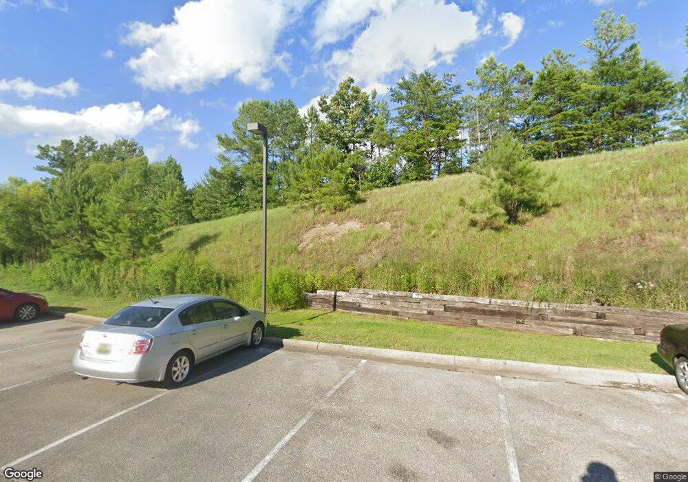
6918 Highway 70 Calera, AL 35040
--
Bed
--
Bath
3,000
Sq Ft
6.4
Acres
About This Home
This home is located at 6918 Highway 70, Calera, AL 35040. 6918 Highway 70 is a home located in Shelby County with nearby schools including Calera Intermediate School, Calera Elementary School, and Calera Middle School.
Ownership History
Date
Name
Owned For
Owner Type
Purchase Details
Closed on
May 30, 2008
Sold by
M & F Bank
Bought by
Branchwood Properties & Associates Llc
Home Financials for this Owner
Home Financials are based on the most recent Mortgage that was taken out on this home.
Original Mortgage
$1,825,000
Outstanding Balance
$1,159,669
Interest Rate
5.86%
Mortgage Type
Commercial
Purchase Details
Closed on
Apr 13, 2005
Sold by
Graves Malcomb
Bought by
Graves Land Development Inc
Home Financials for this Owner
Home Financials are based on the most recent Mortgage that was taken out on this home.
Original Mortgage
$1,300,000
Interest Rate
5.74%
Mortgage Type
Purchase Money Mortgage
Create a Home Valuation Report for This Property
The Home Valuation Report is an in-depth analysis detailing your home's value as well as a comparison with similar homes in the area
Home Values in the Area
Average Home Value in this Area
Purchase History
| Date | Buyer | Sale Price | Title Company |
|---|---|---|---|
| Branchwood Properties & Associates Llc | $1,200,000 | None Available | |
| Graves Land Development Inc | -- | -- |
Source: Public Records
Mortgage History
| Date | Status | Borrower | Loan Amount |
|---|---|---|---|
| Open | Branchwood Properties & Associates Llc | $1,825,000 | |
| Previous Owner | Graves Land Development Inc | $1,300,000 |
Source: Public Records
Tax History Compared to Growth
Tax History
| Year | Tax Paid | Tax Assessment Tax Assessment Total Assessment is a certain percentage of the fair market value that is determined by local assessors to be the total taxable value of land and additions on the property. | Land | Improvement |
|---|---|---|---|---|
| 2024 | $34,263 | $634,500 | $0 | $0 |
| 2023 | $31,203 | $577,840 | $0 | $0 |
| 2022 | $27,104 | $501,920 | $0 | $0 |
| 2021 | $25,064 | $464,140 | $0 | $0 |
| 2020 | $24,044 | $445,260 | $0 | $0 |
| 2017 | $12,946 | $239,740 | $0 | $0 |
Source: Public Records
Map
Nearby Homes
- 1272 Kensington Blvd
- 1261 Kensington Blvd
- 1308 Kensington Blvd
- 256 Koslin Loop
- 7012 Kensington Ave
- 7043 Kensington Ave
- 7027 Kensington Ave
- 7023 Kensington Ave
- 364 Waterford Cove Trail
- 8028 Kensington Trail
- 854 Waterford Cove Ln
- 327 Waterford Cove Trail
- 116 Waterford Cove Dr
- 101 Village Dr
- 1056 Village Trail
- 583 Waterford Ln
- 2026 Highview Way
- 2064 Highview Way
- 3029 Highview Ln
- 1121 Village Trail
- 428 Waterford Cove Trail
- 432 Waterford Cove Trail
- 420 Waterford Cove Trail
- 436 Waterford Cove Trail
- 424 Waterford Cove Trail
- 440 Waterford Cove Trail
- 416 Waterford Cove Trail
- 444 Waterford Cove Trail
- 2060 Kensington Ct
- 412 Waterford Cove Trail
- 433 Waterford Cove Trail
- 2056 Kensington Ct
- 419 Waterford Cove Trail
- 425 Waterford Cove Trail
- 429 Waterford Cove Trail
- 2061 Kensington Ct
- 437 Waterford Cove Trail
- 448 Waterford Cove Trail
- 2052 Kensington Ct
- 415 Waterford Cove Trail
