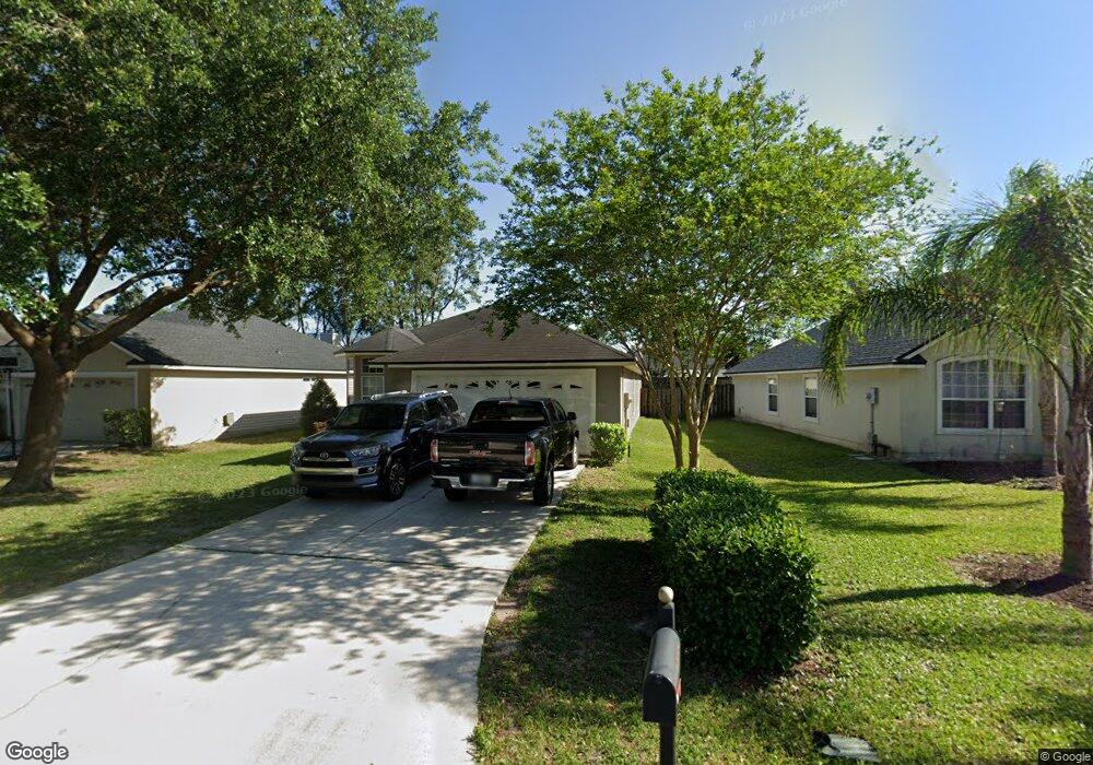
692 Mackenzie Cir Saint Augustine, FL 32092
Estimated Value: $308,000 - $328,635
3
Beds
2
Baths
1,609
Sq Ft
$200/Sq Ft
Est. Value
About This Home
This home is located at 692 Mackenzie Cir, Saint Augustine, FL 32092 and is currently estimated at $322,159, approximately $200 per square foot. 692 Mackenzie Cir is a home located in St. Johns County with nearby schools including Picolata Crossing Elementary School, Pacetti Bay Middle School, and Mill Creek Baptist Christian Academy.
Ownership History
Date
Name
Owned For
Owner Type
Purchase Details
Closed on
Jul 30, 2004
Sold by
Tousa Homes Inc
Bought by
Johnson Lisa M and Conte Samuel A
Current Estimated Value
Home Financials for this Owner
Home Financials are based on the most recent Mortgage that was taken out on this home.
Original Mortgage
$152,900
Interest Rate
7.75%
Mortgage Type
Purchase Money Mortgage
Create a Home Valuation Report for This Property
The Home Valuation Report is an in-depth analysis detailing your home's value as well as a comparison with similar homes in the area
Purchase History
| Date | Buyer | Sale Price | Title Company |
|---|---|---|---|
| Johnson Lisa M | $161,000 | Universal Land Title Inc |
Source: Public Records
Mortgage History
| Date | Status | Borrower | Loan Amount |
|---|---|---|---|
| Previous Owner | Johnson Lisa M | $152,900 |
Source: Public Records
Tax History
| Year | Tax Paid | Tax Assessment Tax Assessment Total Assessment is a certain percentage of the fair market value that is determined by local assessors to be the total taxable value of land and additions on the property. | Land | Improvement |
|---|---|---|---|---|
| 2025 | $1,326 | $131,220 | -- | -- |
| 2024 | $1,326 | $127,522 | -- | -- |
| 2023 | $1,326 | $123,808 | $0 | $0 |
| 2022 | $1,272 | $120,202 | $0 | $0 |
| 2021 | $1,253 | $116,701 | $0 | $0 |
| 2020 | $1,245 | $115,090 | $0 | $0 |
| 2019 | $1,256 | $112,502 | $0 | $0 |
| 2018 | $1,232 | $110,404 | $0 | $0 |
| 2017 | $1,223 | $108,133 | $0 | $0 |
| 2016 | $1,218 | $109,086 | $0 | $0 |
| 2015 | $1,235 | $108,328 | $0 | $0 |
| 2014 | $1,236 | $107,468 | $0 | $0 |
Source: Public Records
Map
Nearby Homes
- 1315 Ardmore St
- 1194 Ardmore St
- 4232 S Franklinia St
- 861 Mackenzie Cir
- 4208 S Franklinia St
- 3737 Berenstain Dr
- 2844 Oakgrove Ave
- 4448 N Alatamaha St
- 3533 Crest St
- 80 Oak Cluster Ln
- 36 Sunberry Way
- 2498 Trailmark Dr
- 64 Oak Cluster Ln
- 49 Sunberry Way
- 4640 Tuscan Wood Ct
- 5220 Comfort Ct
- 2624 Oakgrove Ave
- 4894 Boat Landing Dr
- 3541 Pacetti Rd
- 5012 Clayton Ct
- 696 Mackenzie Cir
- 686 Mackenzie Cir
- 700 Mackenzie Cir
- 1335 Ardmore St
- 1331 Ardmore St
- 678 Mackenzie Cir
- 1327 Ardmore St
- 704 Mackenzie Cir
- 1339 Ardmore St
- 693 Mackenzie Cir
- 689 Mackenzie Cir
- 697 Mackenzie Cir
- 670 Mackenzie Cir
- 1323 Ardmore St
- 685 Mackenzie
- 685 Mackenzie Cir
- 701 Mackenzie Cir
- 708 Mackenzie Cir
- 708 Mckenzie
- 1343 Ardmore St
Your Personal Tour Guide
Ask me questions while you tour the home.