6921 Battle Bridge Rd Raleigh, NC 27610
Southeast Raleigh NeighborhoodEstimated Value: $320,000 - $477,000
--
Bed
2
Baths
1,867
Sq Ft
$210/Sq Ft
Est. Value
About This Home
This home is located at 6921 Battle Bridge Rd, Raleigh, NC 27610 and is currently estimated at $392,560, approximately $210 per square foot. 6921 Battle Bridge Rd is a home located in Wake County with nearby schools including Barwell Road Elementary School, East Garner Middle School, and South Garner High.
Ownership History
Date
Name
Owned For
Owner Type
Purchase Details
Closed on
Oct 1, 2021
Sold by
Sapp Curtis Lee
Bought by
Saap Curtis Lee and Sapp Cedric
Current Estimated Value
Purchase Details
Closed on
May 5, 1999
Sold by
Griffis Kimberly T
Bought by
Sapp Curtis Lee and Sapp Carolyn J
Home Financials for this Owner
Home Financials are based on the most recent Mortgage that was taken out on this home.
Original Mortgage
$135,890
Outstanding Balance
$34,995
Interest Rate
7%
Mortgage Type
FHA
Estimated Equity
$357,565
Create a Home Valuation Report for This Property
The Home Valuation Report is an in-depth analysis detailing your home's value as well as a comparison with similar homes in the area
Home Values in the Area
Average Home Value in this Area
Purchase History
| Date | Buyer | Sale Price | Title Company |
|---|---|---|---|
| Saap Curtis Lee | -- | None Available | |
| Sapp Curtis Lee | $136,000 | -- |
Source: Public Records
Mortgage History
| Date | Status | Borrower | Loan Amount |
|---|---|---|---|
| Open | Sapp Curtis Lee | $135,890 |
Source: Public Records
Tax History Compared to Growth
Tax History
| Year | Tax Paid | Tax Assessment Tax Assessment Total Assessment is a certain percentage of the fair market value that is determined by local assessors to be the total taxable value of land and additions on the property. | Land | Improvement |
|---|---|---|---|---|
| 2025 | $1,685 | $445,128 | $150,850 | $294,278 |
| 2024 | $1,636 | $445,128 | $150,850 | $294,278 |
| 2023 | $1,349 | $296,044 | $88,240 | $207,804 |
| 2022 | $1,251 | $296,044 | $88,240 | $207,804 |
| 2021 | $1,218 | $296,044 | $88,240 | $207,804 |
| 2020 | $76 | $296,044 | $88,240 | $207,804 |
| 2019 | $1,912 | $231,668 | $72,820 | $158,848 |
| 2018 | $1,758 | $231,668 | $72,820 | $158,848 |
| 2017 | $1,667 | $231,668 | $72,820 | $158,848 |
| 2016 | $1,634 | $231,668 | $72,820 | $158,848 |
| 2015 | $1,630 | $231,817 | $80,100 | $151,717 |
| 2014 | $1,545 | $231,817 | $80,100 | $151,717 |
Source: Public Records
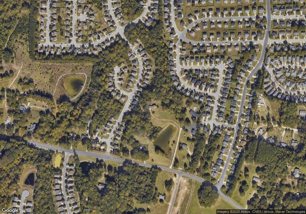
Map
Nearby Homes
- 6604 Frogstool Ln
- 7101 Battle Bridge Rd
- 3836 Griffis Glen Dr
- 6839 Harter Ct Unit 35
- 6839 Harter Ct
- 4342 Bay Rum Ln
- 6848 Horseback Ln
- 6516 Battle Bridge Rd
- Litchfield Plan at Battle Bridge
- Winchester Plan at Battle Bridge
- Rochester Plan at Battle Bridge
- 6520 Bunker Hill Dr
- 6863 Paint Rock Ln
- 6447 Granite Quarry Dr
- 6445 Granite Quarry Dr
- 6408 Bunker Hill Dr
- 6411 Granite Quarry Dr
- 6407 Granite Quarry Dr
- 6125 Arsenal Ave
- 4009 Patriot Ridge Ct
- 4005 Griffis Glen Dr
- 4005 Griffis Glen Dr Unit 68
- 4001 Griffis Glen Dr
- 4009 Griffis Glen Dr
- 4009 Griffis Glen Dr Unit 67
- 3955 Griffis Glen Dr
- 3951 Griffis Glen Dr
- 3947 Griffis Glen Dr
- 3943 Griffis Glen Dr
- 6827 Spanglers Spring Way
- 6823 Spanglers Spring Way
- 4021 Griffis Glen Dr
- 6831 Spanglers Spring Way
- 6630 Frogstool Ln
- 6819 Spanglers Spring Way
- 3939 Griffis Glen Dr
- 6925 Battle Bridge Rd
- 6835 Spanglers Spring Way Unit 31
- 6835 Spanglers Spring Way
- 4025 Griffis Glen Dr