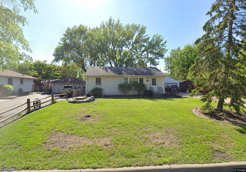
6921 Clay Ave Inver Grove Heights, MN 55076
Estimated Value: $313,000 - $360,000
3
Beds
1
Bath
884
Sq Ft
$375/Sq Ft
Est. Value
About This Home
This home is located at 6921 Clay Ave, Inver Grove Heights, MN 55076 and is currently estimated at $331,064, approximately $374 per square foot. 6921 Clay Ave is a home located in Dakota County with nearby schools including Hilltop Elementary School, Inver Grove Heights Middle School, and Simley Senior High School.
Ownership History
Date
Name
Owned For
Owner Type
Purchase Details
Closed on
Jan 17, 2019
Sold by
Voyda Jason Jason
Current Estimated Value
Home Financials for this Owner
Home Financials are based on the most recent Mortgage that was taken out on this home.
Interest Rate
4.45%
Purchase Details
Closed on
Mar 31, 2006
Sold by
Siebenaler Rodney A and Vanrisseghem Kristin D
Bought by
Voyda Jason P and Voyda Christine M
Purchase Details
Closed on
Nov 2, 2001
Sold by
Ball Robert H
Bought by
Siebenaler Rodney A
Purchase Details
Closed on
Jul 21, 1999
Sold by
Dockom Shawna S
Bought by
Ball Robert H
Purchase Details
Closed on
Aug 1, 1997
Sold by
Dybedahl Maynard D
Bought by
Ball Robert H
Create a Home Valuation Report for This Property
The Home Valuation Report is an in-depth analysis detailing your home's value as well as a comparison with similar homes in the area
Home Values in the Area
Average Home Value in this Area
Purchase History
| Date | Buyer | Sale Price | Title Company |
|---|---|---|---|
| -- | $215,000 | -- | |
| Voyda Jason P | $206,000 | -- | |
| Siebenaler Rodney A | $145,500 | -- | |
| Ball Robert H | -- | -- | |
| Ball Robert H | $89,900 | -- |
Source: Public Records
Mortgage History
| Date | Status | Borrower | Loan Amount |
|---|---|---|---|
| Closed | -- | -- |
Source: Public Records
Tax History Compared to Growth
Tax History
| Year | Tax Paid | Tax Assessment Tax Assessment Total Assessment is a certain percentage of the fair market value that is determined by local assessors to be the total taxable value of land and additions on the property. | Land | Improvement |
|---|---|---|---|---|
| 2024 | $2,850 | $282,700 | $74,400 | $208,300 |
| 2023 | $2,804 | $274,100 | $72,500 | $201,600 |
| 2022 | $2,610 | $271,700 | $72,400 | $199,300 |
| 2021 | $2,588 | $232,500 | $63,000 | $169,500 |
| 2020 | $2,356 | $226,400 | $60,000 | $166,400 |
| 2019 | $2,300 | $220,700 | $57,100 | $163,600 |
| 2018 | $2,103 | $203,200 | $54,400 | $148,800 |
| 2017 | $1,942 | $186,600 | $51,800 | $134,800 |
| 2016 | $1,886 | $172,400 | $49,400 | $123,000 |
| 2015 | $1,888 | $146,534 | $41,892 | $104,642 |
| 2014 | -- | $138,795 | $39,877 | $98,918 |
| 2013 | -- | $123,862 | $36,203 | $87,659 |
Source: Public Records
Map
Nearby Homes
- 6951 Clay Ave
- 7134 Claude Ave
- 3580 68th St E
- 7169 Clay Ave
- 3568 Cloman Way
- 3481 Cloman Way E
- 3548 Cloman Way
- 7393 Clayton Ave
- 3902 67th St E
- TBD 65th St E
- 6445 Coryell Ct
- 7602 Connie Ln
- 7614 Connie Ln
- 3617 76th Ln E
- 6280 Carleda Way
- 7344 Degrio Way
- Virginia Plan at Eagles Landing
- Cottonwood II Plan at Eagles Landing
- Enclave II Plan at Eagles Landing
- Macalaster Plan at Eagles Landing