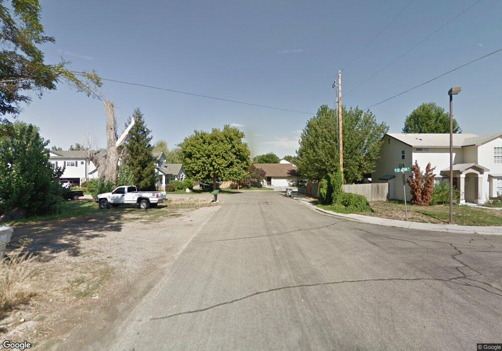
6922 W Petrie St Boise, ID 83704
West Boise NeighborhoodEstimated Value: $352,000 - $511,000
4
Beds
2
Baths
1,758
Sq Ft
$230/Sq Ft
Est. Value
About This Home
This home is located at 6922 W Petrie St, Boise, ID 83704 and is currently estimated at $403,569, approximately $229 per square foot. 6922 W Petrie St is a home located in Ada County with nearby schools including Koelsch Elementary School, Fairmont Junior High School, and Capital High School.
Ownership History
Date
Name
Owned For
Owner Type
Purchase Details
Closed on
Nov 2, 2023
Sold by
Ocepek Patricia Ann
Bought by
888 Pioneer Exchange Accommodation Title Hold
Current Estimated Value
Purchase Details
Closed on
Aug 11, 2023
Sold by
Ocepek Patricia Ann
Bought by
Tresco Of Idaho and Bruneel
Purchase Details
Closed on
Nov 30, 2021
Sold by
Dawson Shawn R
Bought by
Estate Of Patricia Ann Ocepek
Purchase Details
Closed on
Jun 21, 2021
Sold by
Ocepek Patricia Ann and Estate Of Patricia Ann Ocepek
Bought by
Dawson Shawn R and Toland Veronique K
Create a Home Valuation Report for This Property
The Home Valuation Report is an in-depth analysis detailing your home's value as well as a comparison with similar homes in the area
Home Values in the Area
Average Home Value in this Area
Purchase History
| Date | Buyer | Sale Price | Title Company |
|---|---|---|---|
| 888 Pioneer Exchange Accommodation Title Hold | -- | First American Title | |
| Tresco Of Idaho | -- | First American Title | |
| Estate Of Patricia Ann Ocepek | -- | None Listed On Document | |
| Dawson Shawn R | -- | None Listed On Document |
Source: Public Records
Tax History Compared to Growth
Tax History
| Year | Tax Paid | Tax Assessment Tax Assessment Total Assessment is a certain percentage of the fair market value that is determined by local assessors to be the total taxable value of land and additions on the property. | Land | Improvement |
|---|---|---|---|---|
| 2025 | $4,245 | $499,600 | -- | -- |
| 2024 | $4,012 | $448,400 | -- | -- |
| 2023 | $4,012 | $420,100 | $0 | $0 |
| 2022 | $4,132 | $476,600 | $0 | $0 |
| 2021 | $4,045 | $370,100 | $0 | $0 |
| 2020 | $3,511 | $295,700 | $0 | $0 |
| 2019 | $3,702 | $272,800 | $0 | $0 |
| 2018 | $3,445 | $226,900 | $0 | $0 |
| 2017 | $3,289 | $205,800 | $0 | $0 |
| 2016 | $2,993 | $182,800 | $0 | $0 |
| 2015 | $2,573 | $174,600 | $0 | $0 |
| 2012 | -- | $120,600 | $0 | $0 |
Source: Public Records
Map
Nearby Homes
- 2001 N Allumbaugh St
- 2101 N Allumbaugh St
- 2110 N Allumbaugh St
- 6738 W Westwood Ln
- 6808 W Folk Dr
- 6800 W Folk Dr
- 6827 W Northview St
- 7103 W Northview St
- 6404 W York St
- 7060 W Colehaven Ln
- 7084 W Colehaven Ln
- 7230 W Northview St
- 7048 W Colehaven Dr
- 6402 W Northview St
- 6214 W York St
- 1703 N Hartman St
- 6932 W Irving Ln
- 1427 N Bluffs Ridge Ln
- 1421 N Bluffs Ridge Ln
- 1415 N Bluffs Ridge Ln
- 6920 & 6922 W Petrie St
- 6924 W Petrie St
- 6916 W Petrie St
- 6907 W Poplar St
- 6905 W Poplar St
- 6916 & 6916A W Petrie St
- 6903 W Poplar St
- 7006 W Petrie St
- 6912 W Petrie St
- 6821 W Poplar St
- 6918 W Petrie St
- 2000 N Eldorado St
- 7010 W Petrie St
- 6904 W Petrie St
- 6902 W Poplar St
- 7002 W Petrie St
- 6813 W Poplar St
- 6906 W Poplar St
- 6880 W Waverly Ct
- 7008 W Poplar St