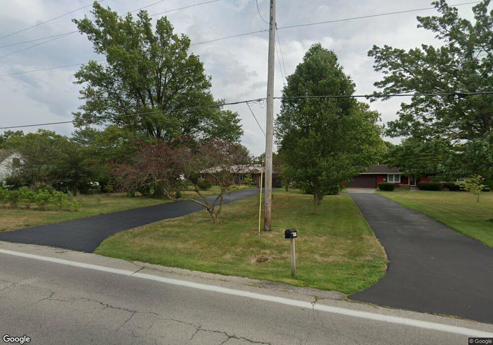
6925 State Route 762 Orient, OH 43146
Estimated Value: $319,000 - $479,000
3
Beds
2
Baths
2,146
Sq Ft
$185/Sq Ft
Est. Value
About This Home
This home is located at 6925 State Route 762, Orient, OH 43146 and is currently estimated at $396,451, approximately $184 per square foot. 6925 State Route 762 is a home located in Pickaway County.
Ownership History
Date
Name
Owned For
Owner Type
Purchase Details
Closed on
Aug 26, 2011
Sold by
Mallasee Scott H and Mallasee Tamara L
Bought by
Evans Dorey
Current Estimated Value
Home Financials for this Owner
Home Financials are based on the most recent Mortgage that was taken out on this home.
Original Mortgage
$90,000
Outstanding Balance
$7,466
Interest Rate
3.27%
Mortgage Type
New Conventional
Estimated Equity
$388,985
Purchase Details
Closed on
Apr 26, 1991
Sold by
Bandy Thurman E
Bought by
Mallasee Scott H
Purchase Details
Closed on
Apr 1, 1991
Purchase Details
Closed on
Apr 1, 1989
Create a Home Valuation Report for This Property
The Home Valuation Report is an in-depth analysis detailing your home's value as well as a comparison with similar homes in the area
Home Values in the Area
Average Home Value in this Area
Purchase History
| Date | Buyer | Sale Price | Title Company |
|---|---|---|---|
| Evans Dorey | $184,500 | Real Living Title | |
| Mallasee Scott H | $98,000 | -- | |
| -- | $98,000 | -- | |
| -- | $89,800 | -- |
Source: Public Records
Mortgage History
| Date | Status | Borrower | Loan Amount |
|---|---|---|---|
| Open | Evans Dorey | $90,000 |
Source: Public Records
Tax History Compared to Growth
Tax History
| Year | Tax Paid | Tax Assessment Tax Assessment Total Assessment is a certain percentage of the fair market value that is determined by local assessors to be the total taxable value of land and additions on the property. | Land | Improvement |
|---|---|---|---|---|
| 2024 | -- | $98,490 | $21,200 | $77,290 |
| 2023 | $3,707 | $98,490 | $21,200 | $77,290 |
| 2022 | $2,879 | $70,250 | $14,140 | $56,110 |
| 2021 | $2,888 | $70,250 | $14,140 | $56,110 |
| 2020 | $2,888 | $70,250 | $14,140 | $56,110 |
| 2019 | $2,373 | $58,500 | $13,430 | $45,070 |
| 2018 | $2,283 | $58,500 | $13,430 | $45,070 |
| 2017 | $2,343 | $58,500 | $13,430 | $45,070 |
| 2016 | $2,267 | $56,480 | $11,670 | $44,810 |
| 2015 | $2,268 | $56,480 | $11,670 | $44,810 |
| 2014 | $2,271 | $56,480 | $11,670 | $44,810 |
| 2013 | $2,037 | $48,780 | $11,670 | $37,110 |
Source: Public Records
Map
Nearby Homes
- 56 Chambers Bay Rd
- 294 Shady Hollow Dr
- 47 Front St
- 161 Chestnut Estates Dr
- 182 Honey Locust Ln
- 11044 Coontz Rd
- 62 Genoa Cir
- 66 Genoa Cir
- 55 Genoa Cir
- 169 Chestnut Commons Dr
- 45 Genoa Cir
- 186 Red Oak Ct
- 310 Genoa Rd
- The Siebert Plan at Genoa Crossing
- The Hollandia B Plan at Genoa Crossing
- The Rainier Plan at Genoa Crossing
- The Petoskey Plan at Genoa Crossing
- 166 Rosewood Loop SE
- 428 Lockbay Rd
- 49 Front St
- 6939 State Route 762
- 6901 State Route 762
- 6959 State Route 762
- 6981 State Route 762
- 115 Main St
- 6987 State Route 762
- 6991 State Route 762
- 113 Main St
- 111 Main St
- 7071 State Route 762
- 5490 State Route 762
- 6724 State Route 762
- 276 Shady Hollow Dr
- 46 Main St
- 9 Carmel Ct
- 289 Mahogany Ln
- 14 Carmel Ct
- 24 Main St
- 299 Tomahawk Ct
- 288 Mahogany Ln