6927 Damascus Rd Gaithersburg, MD 20882
Estimated Value: $974,000 - $1,018,000
--
Bed
4
Baths
3,496
Sq Ft
$285/Sq Ft
Est. Value
About This Home
This home is located at 6927 Damascus Rd, Gaithersburg, MD 20882 and is currently estimated at $997,483, approximately $285 per square foot. 6927 Damascus Rd is a home located in Montgomery County with nearby schools including Laytonsville Elementary School, John T. Baker Middle School, and Damascus High.
Ownership History
Date
Name
Owned For
Owner Type
Purchase Details
Closed on
Aug 30, 2006
Sold by
Subrizi Robert
Bought by
Bryant Alvin E
Current Estimated Value
Home Financials for this Owner
Home Financials are based on the most recent Mortgage that was taken out on this home.
Original Mortgage
$135,000
Interest Rate
6.83%
Mortgage Type
Purchase Money Mortgage
Purchase Details
Closed on
Aug 21, 2006
Sold by
Subrizi Robert
Bought by
Bryant Alvin E
Home Financials for this Owner
Home Financials are based on the most recent Mortgage that was taken out on this home.
Original Mortgage
$135,000
Interest Rate
6.83%
Mortgage Type
Purchase Money Mortgage
Purchase Details
Closed on
Oct 9, 2001
Sold by
Kelly Shina & L P
Bought by
Subrizi Robert and Subrizi Anne M
Create a Home Valuation Report for This Property
The Home Valuation Report is an in-depth analysis detailing your home's value as well as a comparison with similar homes in the area
Home Values in the Area
Average Home Value in this Area
Purchase History
| Date | Buyer | Sale Price | Title Company |
|---|---|---|---|
| Bryant Alvin E | $845,000 | -- | |
| Bryant Alvin E | $845,000 | -- | |
| Subrizi Robert | $427,500 | -- |
Source: Public Records
Mortgage History
| Date | Status | Borrower | Loan Amount |
|---|---|---|---|
| Closed | Bryant Alvin E | $135,000 | |
| Closed | Bryant Alvin E | $135,000 |
Source: Public Records
Tax History Compared to Growth
Tax History
| Year | Tax Paid | Tax Assessment Tax Assessment Total Assessment is a certain percentage of the fair market value that is determined by local assessors to be the total taxable value of land and additions on the property. | Land | Improvement |
|---|---|---|---|---|
| 2025 | $8,872 | $782,600 | -- | -- |
| 2024 | $8,872 | $714,700 | $0 | $0 |
| 2023 | $7,366 | $646,800 | $246,400 | $400,400 |
| 2022 | $6,704 | $617,000 | $0 | $0 |
| 2021 | $5,955 | $587,200 | $0 | $0 |
| 2020 | $5,955 | $557,400 | $246,400 | $311,000 |
| 2019 | $5,928 | $556,700 | $0 | $0 |
| 2018 | $5,924 | $556,000 | $0 | $0 |
| 2017 | $6,028 | $555,300 | $0 | $0 |
| 2016 | $6,656 | $527,167 | $0 | $0 |
| 2015 | $6,656 | $499,033 | $0 | $0 |
| 2014 | $6,656 | $470,900 | $0 | $0 |
Source: Public Records
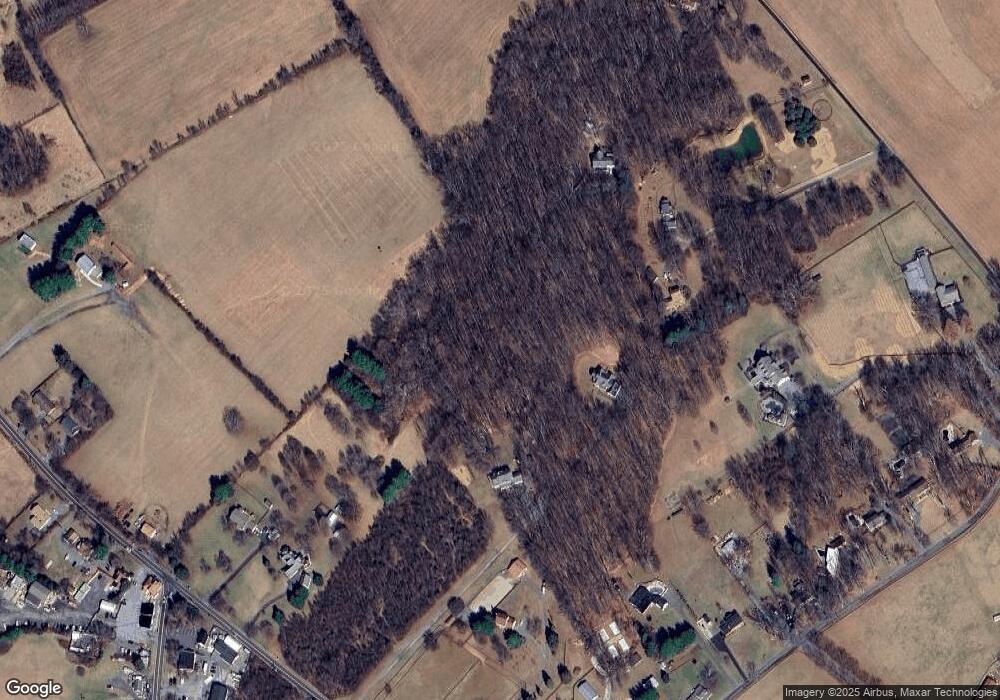
Map
Nearby Homes
- 3738 Damascus Rd
- 0 Damascus Rd
- 7201 Hawkins Creamery Rd
- 6 Hilton Ct
- 8225 Hawkins Creamery Rd
- 8368 Hawkins Creamery Rd
- 8304 Mariner Ct
- 24213 Muscari Ct
- 5 Garfield Ct
- 25124 Hickory Ridge Ln
- 25804 Bowman Acres Ln
- 23513 Woodfield Rd
- 0 Woodfield Rd Unit MDMC2196320
- 23601 White Peach Ct
- 23420 Woodfield Rd
- 2 Griffith Ct
- 25024 Johnson Farm Rd
- 23504 Rolling Fork Way
- 9603 Mcwhorter Farm Ct
- 25206 Bonny Brook Ln
- 6919 Damascus Rd
- 6915 Damascus Rd
- 6931 Damascus Rd
- 24234 Hipsley Mill Rd
- 6935 Damascus Rd
- 24244 Hipsley Mill Rd
- 6939 Damascus Rd
- 24240 Hipsley Mill Rd
- 6909 Damascus Rd
- 24222 Hipsley Mill Rd
- 24306 Hipsley Mill Rd
- 24230 Hipsley Mill Rd
- 24312 Hipsley Mill Rd
- 6923 Damascus Rd
- 6920 Damascus Rd
- 24248 Hipsley Mill Rd
- 24221 Laytonsville Rd
- 24252 Hipsley Mill Rd
- 24211 Laytonsville Rd
- 24300 Hipsley Mill Rd