693 Anderson Walk Marietta, GA 30062
Estimated Value: $274,862 - $301,000
3
Beds
3
Baths
1,414
Sq Ft
$204/Sq Ft
Est. Value
About This Home
This home is located at 693 Anderson Walk, Marietta, GA 30062 and is currently estimated at $288,466, approximately $204 per square foot. 693 Anderson Walk is a home located in Cobb County with nearby schools including Lockheed Elementary School, Marietta Sixth Grade Academy, and Marietta Middle School.
Ownership History
Date
Name
Owned For
Owner Type
Purchase Details
Closed on
Jan 4, 2006
Sold by
Hartley Kimberly M
Bought by
Henry Jacqueline R
Current Estimated Value
Home Financials for this Owner
Home Financials are based on the most recent Mortgage that was taken out on this home.
Original Mortgage
$141,481
Outstanding Balance
$79,146
Interest Rate
6.19%
Mortgage Type
FHA
Estimated Equity
$209,320
Purchase Details
Closed on
Jun 26, 1995
Sold by
Reed Scott Amy
Bought by
Troutman Lucia
Create a Home Valuation Report for This Property
The Home Valuation Report is an in-depth analysis detailing your home's value as well as a comparison with similar homes in the area
Home Values in the Area
Average Home Value in this Area
Purchase History
| Date | Buyer | Sale Price | Title Company |
|---|---|---|---|
| Henry Jacqueline R | $142,600 | -- | |
| Troutman Lucia | $87,000 | -- |
Source: Public Records
Mortgage History
| Date | Status | Borrower | Loan Amount |
|---|---|---|---|
| Open | Henry Jacqueline R | $141,481 | |
| Closed | Troutman Lucia | $0 |
Source: Public Records
Tax History Compared to Growth
Tax History
| Year | Tax Paid | Tax Assessment Tax Assessment Total Assessment is a certain percentage of the fair market value that is determined by local assessors to be the total taxable value of land and additions on the property. | Land | Improvement |
|---|---|---|---|---|
| 2024 | $340 | $104,716 | $34,000 | $70,716 |
| 2023 | $188 | $104,716 | $34,000 | $70,716 |
| 2022 | $340 | $85,000 | $12,000 | $73,000 |
| 2021 | $349 | $71,184 | $12,000 | $59,184 |
| 2020 | $349 | $67,644 | $12,000 | $55,644 |
| 2019 | $349 | $67,644 | $12,000 | $55,644 |
| 2018 | $347 | $54,576 | $10,000 | $44,576 |
| 2017 | $279 | $54,576 | $10,000 | $44,576 |
| 2016 | $251 | $46,112 | $10,000 | $36,112 |
| 2015 | $275 | $46,112 | $10,000 | $36,112 |
| 2014 | $119 | $24,768 | $0 | $0 |
Source: Public Records
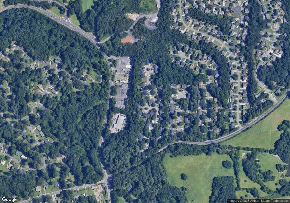
Map
Nearby Homes
- 679 Anderson Walk
- 706 Coventry Township Ln
- 741 Soaring Dr
- 755 Bonnie Dell Dr
- 1234 Barnes Mill Rd
- 881 Soaring Dr
- 785 Soaring Cir
- 874 Soaring Cir Unit 2
- 1145 Mountain View Dr
- 1657 Cedar Bluff Way
- 794 Barnes Mill Trace NE
- 1186 Beech St
- 1548 Cedar Bluff Trail
- 149 Bankston Rd
- 1056 Azalea Cir
- 1080 Soaring Way NE
- 1050 Merritt Rd
- 691 Anderson Walk
- 695 Anderson Walk
- 695 Anderson Walk Unit 695
- 697 Anderson Walk
- 697 Anderson Walk Unit 697
- 689 Anderson Walk
- 709 Anderson Walk
- 715 Anderson Walk
- 687 Anderson Walk
- 719 Anderson Walk
- 685 Anderson Walk
- 675 Anderson Walk
- 683 Anderson Walk
- 683 Anderson Walk Unit 683
- 725 Anderson Walk
- 677 Anderson Walk
- 692 Anderson Walk
- 700 Anderson Walk
- 696 Anderson Walk
- 681 Anderson Walk