693 Lower Alsup Rd Tennessee Ridge, TN 37178
Estimated Value: $406,000 - $468,000
--
Bed
3
Baths
1,920
Sq Ft
$227/Sq Ft
Est. Value
About This Home
This home is located at 693 Lower Alsup Rd, Tennessee Ridge, TN 37178 and is currently estimated at $434,999, approximately $226 per square foot. 693 Lower Alsup Rd is a home located in Stewart County with nearby schools including Dover Elementary School, Stewart County Middle School, and Stewart County High School.
Ownership History
Date
Name
Owned For
Owner Type
Purchase Details
Closed on
Apr 24, 2020
Sold by
Schmidt Jared Shane and Schmidt April K
Bought by
Schmidt Jared Shane and Schmidt April K
Current Estimated Value
Home Financials for this Owner
Home Financials are based on the most recent Mortgage that was taken out on this home.
Original Mortgage
$179,665
Outstanding Balance
$120,778
Interest Rate
2.9%
Mortgage Type
New Conventional
Estimated Equity
$314,221
Purchase Details
Closed on
Feb 4, 2004
Bought by
Schmidt Jared Shane and Tammy Darlene
Create a Home Valuation Report for This Property
The Home Valuation Report is an in-depth analysis detailing your home's value as well as a comparison with similar homes in the area
Home Values in the Area
Average Home Value in this Area
Purchase History
| Date | Buyer | Sale Price | Title Company |
|---|---|---|---|
| Schmidt Jared Shane | -- | None Available | |
| Schmidt Jared Shane | $2,000 | -- |
Source: Public Records
Mortgage History
| Date | Status | Borrower | Loan Amount |
|---|---|---|---|
| Open | Schmidt Jared Shane | $179,665 |
Source: Public Records
Tax History Compared to Growth
Tax History
| Year | Tax Paid | Tax Assessment Tax Assessment Total Assessment is a certain percentage of the fair market value that is determined by local assessors to be the total taxable value of land and additions on the property. | Land | Improvement |
|---|---|---|---|---|
| 2024 | $1,446 | $97,325 | $5,775 | $91,550 |
| 2023 | $1,408 | $59,650 | $4,250 | $55,400 |
| 2022 | $1,226 | $51,925 | $4,250 | $47,675 |
| 2021 | $1,226 | $51,925 | $4,250 | $47,675 |
| 2020 | $1,276 | $51,925 | $4,250 | $47,675 |
| 2019 | $1,276 | $50,075 | $3,850 | $46,225 |
| 2018 | $1,276 | $50,075 | $3,850 | $46,225 |
| 2017 | $1,276 | $50,075 | $3,850 | $46,225 |
| 2016 | $1,276 | $50,075 | $3,850 | $46,225 |
| 2015 | $1,237 | $50,075 | $3,850 | $46,225 |
| 2014 | $1,300 | $50,075 | $3,850 | $46,225 |
| 2013 | $1,300 | $52,635 | $0 | $0 |
Source: Public Records
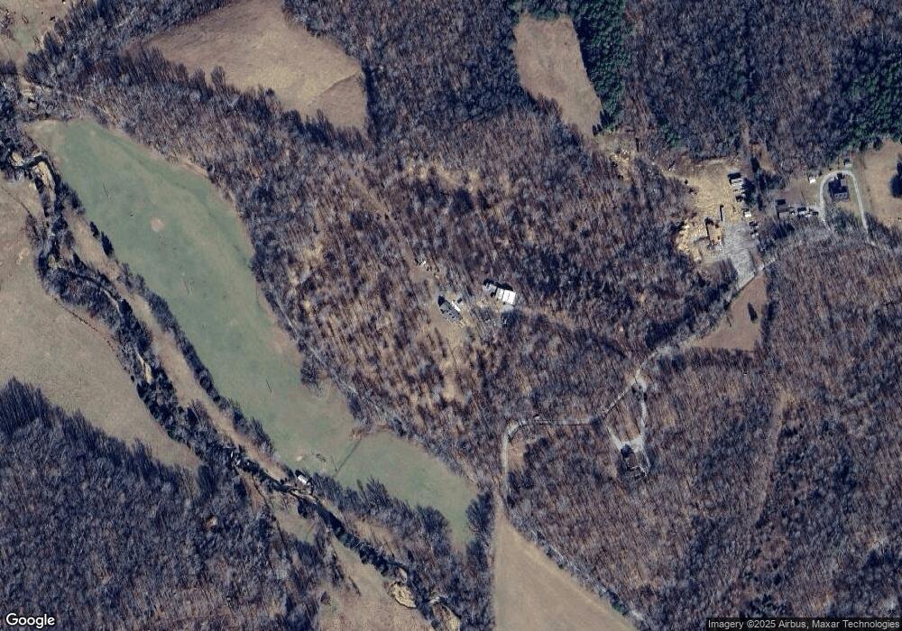
Map
Nearby Homes
- 1950 Old Stewart Rd
- 0 Old Lockhart Rd
- 0 Carl Taylor Rd
- 193 A W Schmidt Rd
- 745 Moore Hollow Rd
- 0 Taylor St Unit RTC2764411
- 0 Taylor St Unit RTC2764420
- 0 Taylor St Unit RTC2764418
- 0 Taylor St Unit RTC2764423
- 0 Taylor St Unit RTC2764415
- 110 Peachtree St
- 550 Lakeview Cir
- 630 Lakeview Cir
- 155 Rolling Hills Dr
- 0 Main St N Unit RTC2988796
- 0 Main St N Unit RTC3003416
- 0 Main St N Unit RTC2987692
- 0 Main St N Unit RTC2988794
- 0 Main St N Unit RTC2988130
- 0 Main St N Unit RTC2988128
- 124 Mccarty Rd
- 135 Mccarty Rd
- 539 Lower Alsup Rd
- 655 Frank Day Hollow Rd
- 500 Day Ln
- 444 Day Ln
- 0 Frank Day Hollow Rd Unit RTC2380472
- 317 Day Ln
- 310 Day Ln
- 295 Day Ln
- 250 Day Ln
- 275 Day Ln
- 1434 Old Stewart Rd
- 229 Steven Drive Ln
- 201 Day Ln
- 160 Day Ln
- 115 Day Ln
- 90 Day Ln
- 82 Frank Day Hollow Rd
- 0 Sid Summers Rd Unit 1719482