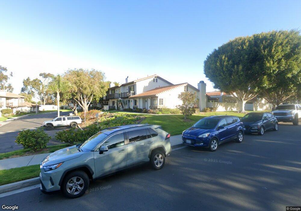
6930 Pear Tree Dr Carlsbad, CA 92011
Poinsettia NeighborhoodEstimated Value: $887,000 - $1,024,000
2
Beds
3
Baths
1,292
Sq Ft
$741/Sq Ft
Est. Value
About This Home
This home is located at 6930 Pear Tree Dr, Carlsbad, CA 92011 and is currently estimated at $957,571, approximately $741 per square foot. 6930 Pear Tree Dr is a home located in San Diego County with nearby schools including Pacific Rim Elementary, Aviara Oaks Middle, and Sage Creek High.
Ownership History
Date
Name
Owned For
Owner Type
Purchase Details
Closed on
Feb 18, 1998
Sold by
Hackman Scott A and Hackman Lisa M
Bought by
Kuchta Jerry Jaroslav
Current Estimated Value
Home Financials for this Owner
Home Financials are based on the most recent Mortgage that was taken out on this home.
Original Mortgage
$157,450
Outstanding Balance
$28,022
Interest Rate
7.06%
Estimated Equity
$929,549
Purchase Details
Closed on
May 22, 1990
Purchase Details
Closed on
May 2, 1986
Create a Home Valuation Report for This Property
The Home Valuation Report is an in-depth analysis detailing your home's value as well as a comparison with similar homes in the area
Home Values in the Area
Average Home Value in this Area
Purchase History
| Date | Buyer | Sale Price | Title Company |
|---|---|---|---|
| Kuchta Jerry Jaroslav | $175,000 | First American Title | |
| -- | $179,500 | -- | |
| -- | $101,500 | -- |
Source: Public Records
Mortgage History
| Date | Status | Borrower | Loan Amount |
|---|---|---|---|
| Open | Kuchta Jerry Jaroslav | $157,450 |
Source: Public Records
Tax History
| Year | Tax Paid | Tax Assessment Tax Assessment Total Assessment is a certain percentage of the fair market value that is determined by local assessors to be the total taxable value of land and additions on the property. | Land | Improvement |
|---|---|---|---|---|
| 2025 | $2,905 | $279,398 | $127,722 | $151,676 |
| 2024 | $2,905 | $273,920 | $125,218 | $148,702 |
| 2023 | $2,888 | $268,550 | $122,763 | $145,787 |
| 2022 | $2,842 | $263,285 | $120,356 | $142,929 |
| 2021 | $2,820 | $258,124 | $117,997 | $140,127 |
| 2020 | $2,800 | $255,479 | $116,788 | $138,691 |
| 2019 | $2,749 | $250,471 | $114,499 | $135,972 |
| 2018 | $2,633 | $245,560 | $112,254 | $133,306 |
| 2017 | $90 | $240,746 | $110,053 | $130,693 |
| 2016 | $2,483 | $236,027 | $107,896 | $128,131 |
| 2015 | $2,472 | $232,483 | $106,276 | $126,207 |
| 2014 | $2,431 | $227,930 | $104,195 | $123,735 |
Source: Public Records
Map
Nearby Homes
- 6976 Batiquitos Dr
- 907 Hickory Ct Unit 5
- 6936 Quiet Cove Dr
- 6951 Quiet Cove Dr
- 6707 Blue Point Dr
- 7102 Linden Terrace
- 6871 Seaspray Ln
- 7139 Linden Terrace
- 816 Caminito Azul
- 901 Caminito Estrada Unit C
- 1028 Daisy Ave
- 7215 Daffodil Place
- 7025 San Bartolo St Unit 42
- 7218 San Lucas St Unit 189
- 7207 Santa Barbara St Unit 154
- 7008 San Bartolo St Unit 27
- 7027 San Bartolo St Unit 43
- 7004 San Carlos St Unit 67
- 7239 San Luis St Unit 184
- 7221 San Luis St
- 6928 Pear Tree Dr
- 6932 Pear Tree Dr
- 6926 Pear Tree Dr
- 6970 Pear Tree Dr
- 6924 Pear Tree Dr
- 6922 Pear Tree Dr
- 6941 Batiquitos Dr
- 6887 Alderwood Dr
- 6885 Alderwood Dr
- 6883 Alderwood Dr
- 6881 Alderwood Dr Unit 3
- 6879 Alderwood Dr
- 6943 Batiquitos Dr
- 0 Batiquitos Dr Unit OC18063447
- 931 Laurelwood St
- 6921 Pear Tree Dr
- 6877 Alderwood Dr
- 6919 Pear Tree Dr
- 6890 Batiquitos Dr
- 6945 Batiquitos Dr