6938 Moses Rd West Alexandria, OH 45381
Estimated Value: $293,000 - $480,794
3
Beds
1
Bath
1,108
Sq Ft
$358/Sq Ft
Est. Value
About This Home
This home is located at 6938 Moses Rd, West Alexandria, OH 45381 and is currently estimated at $396,265, approximately $357 per square foot. 6938 Moses Rd is a home located in Preble County with nearby schools including Twin Valley South Elementary School, Twin Valley South Middle School, and Twin Valley South High School.
Ownership History
Date
Name
Owned For
Owner Type
Purchase Details
Closed on
Sep 27, 2022
Sold by
Eby Clarence D and Eby Janet E
Bought by
Eby Farm Llc
Current Estimated Value
Purchase Details
Closed on
Nov 11, 2003
Sold by
Eby Allie B
Bought by
Eby Clarence D and Eby Janet E
Home Financials for this Owner
Home Financials are based on the most recent Mortgage that was taken out on this home.
Original Mortgage
$87,952
Interest Rate
5.81%
Mortgage Type
Purchase Money Mortgage
Purchase Details
Closed on
Nov 9, 2003
Sold by
Ferguson Janet S and Eby Frederick A
Bought by
Eby Clarence D and Eby Janet E
Home Financials for this Owner
Home Financials are based on the most recent Mortgage that was taken out on this home.
Original Mortgage
$87,952
Interest Rate
5.81%
Mortgage Type
Purchase Money Mortgage
Create a Home Valuation Report for This Property
The Home Valuation Report is an in-depth analysis detailing your home's value as well as a comparison with similar homes in the area
Home Values in the Area
Average Home Value in this Area
Purchase History
| Date | Buyer | Sale Price | Title Company |
|---|---|---|---|
| Eby Farm Llc | -- | None Listed On Document | |
| Eby Clarence D | $117,300 | None Available | |
| Eby Clarence D | -- | None Available |
Source: Public Records
Mortgage History
| Date | Status | Borrower | Loan Amount |
|---|---|---|---|
| Previous Owner | Eby Clarence D | $87,952 |
Source: Public Records
Tax History Compared to Growth
Tax History
| Year | Tax Paid | Tax Assessment Tax Assessment Total Assessment is a certain percentage of the fair market value that is determined by local assessors to be the total taxable value of land and additions on the property. | Land | Improvement |
|---|---|---|---|---|
| 2024 | $2,201 | $123,950 | $110,680 | $13,270 |
| 2023 | $2,201 | $123,950 | $110,680 | $13,270 |
| 2022 | $1,817 | $38,400 | $29,230 | $9,170 |
| 2021 | $1,868 | $100,110 | $90,940 | $9,170 |
| 2020 | $1,871 | $100,110 | $90,940 | $9,170 |
| 2019 | $2,398 | $96,100 | $86,610 | $9,490 |
| 2018 | $2,471 | $96,100 | $86,610 | $9,490 |
| 2017 | $2,018 | $96,100 | $86,610 | $9,490 |
| 2016 | $2,345 | $78,670 | $73,280 | $5,390 |
| 2014 | $1,456 | $78,680 | $73,290 | $5,390 |
| 2013 | $1,456 | $64,995 | $59,605 | $5,390 |
Source: Public Records
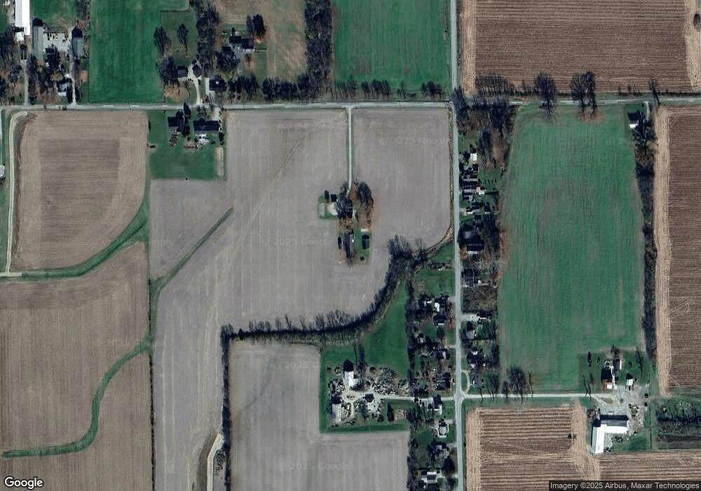
Map
Nearby Homes
- 3292 Twin Creek Rd
- 15600 Dechant Rd
- 4801 Fisher Twin Rd
- 1111 Bull Rd
- 6762 U S 35
- 14541 Lower Gratis Rd
- 1389 Leon Dr
- 0 State Rt 35 Unit 935251
- 60 Hope Ave
- 37 Smith St
- 52 E 2nd St
- 0 U S 35
- 36 E 3rd St
- 212 E 3rd St
- 205 Ada Doty St
- 10 Western Dr
- 3993 Farmersville W Alex Rd
- 1020 Howard Ct
- 54 Apple Dr
- 57 Apple Dr
- 3257 Enterprise Rd
- 3196 Enterprise Rd
- 3267 Enterprise Rd
- 3166 Enterprise Rd
- 3236 Enterprise Rd
- 3160 Enterprise Rd
- 3146 Enterprise Rd
- 3146 Enterprise Rd
- 3242 Enterprise Rd
- 3295 Enterprise Rd
- 3278 Enterprise Rd
- 3339 Enterprise Rd
- 3302 Enterprise Rd
- 6872 Moses Rd
- 3326 Enterprise Rd
- 3361 Enterprise Rd
- 6869 Moses Rd
- 3371 Enterprise Rd
- 6885 Moses Rd
- 6867 Moses Rd