6939 Ruppsville Rd Allentown, PA 18106
Upper Macungie Township NeighborhoodEstimated Value: $222,000 - $863,510
1
Bed
2
Baths
704
Sq Ft
$755/Sq Ft
Est. Value
About This Home
This home is located at 6939 Ruppsville Rd, Allentown, PA 18106 and is currently estimated at $531,628, approximately $755 per square foot. 6939 Ruppsville Rd is a home located in Lehigh County with nearby schools including Highland Elementary School, Tussing Elementary School, and Fogelsville Elementary School.
Ownership History
Date
Name
Owned For
Owner Type
Purchase Details
Closed on
Nov 5, 2003
Sold by
Karpeuk Richard J and Karpeuk Peggy Ann
Bought by
Karpeuk Richard J and Karpeuk Peggy Ann
Current Estimated Value
Home Financials for this Owner
Home Financials are based on the most recent Mortgage that was taken out on this home.
Original Mortgage
$310,000
Interest Rate
5.81%
Mortgage Type
Stand Alone Refi Refinance Of Original Loan
Create a Home Valuation Report for This Property
The Home Valuation Report is an in-depth analysis detailing your home's value as well as a comparison with similar homes in the area
Home Values in the Area
Average Home Value in this Area
Purchase History
| Date | Buyer | Sale Price | Title Company |
|---|---|---|---|
| Karpeuk Richard J | -- | -- |
Source: Public Records
Mortgage History
| Date | Status | Borrower | Loan Amount |
|---|---|---|---|
| Closed | Karpeuk Richard J | $310,000 |
Source: Public Records
Tax History Compared to Growth
Tax History
| Year | Tax Paid | Tax Assessment Tax Assessment Total Assessment is a certain percentage of the fair market value that is determined by local assessors to be the total taxable value of land and additions on the property. | Land | Improvement |
|---|---|---|---|---|
| 2025 | $12,932 | $597,600 | $167,900 | $429,700 |
| 2024 | $12,442 | $597,600 | $167,900 | $429,700 |
| 2023 | $12,143 | $597,600 | $167,900 | $429,700 |
| 2022 | $12,089 | $597,600 | $429,700 | $167,900 |
| 2021 | $12,089 | $597,600 | $167,900 | $429,700 |
| 2020 | $12,089 | $597,600 | $167,900 | $429,700 |
| 2019 | $11,832 | $597,600 | $167,900 | $429,700 |
| 2018 | $10,629 | $547,600 | $167,900 | $379,700 |
| 2017 | $10,476 | $547,600 | $167,900 | $379,700 |
| 2016 | -- | $539,700 | $167,900 | $371,800 |
| 2015 | -- | $539,700 | $167,900 | $371,800 |
| 2014 | -- | $539,700 | $167,900 | $371,800 |
Source: Public Records
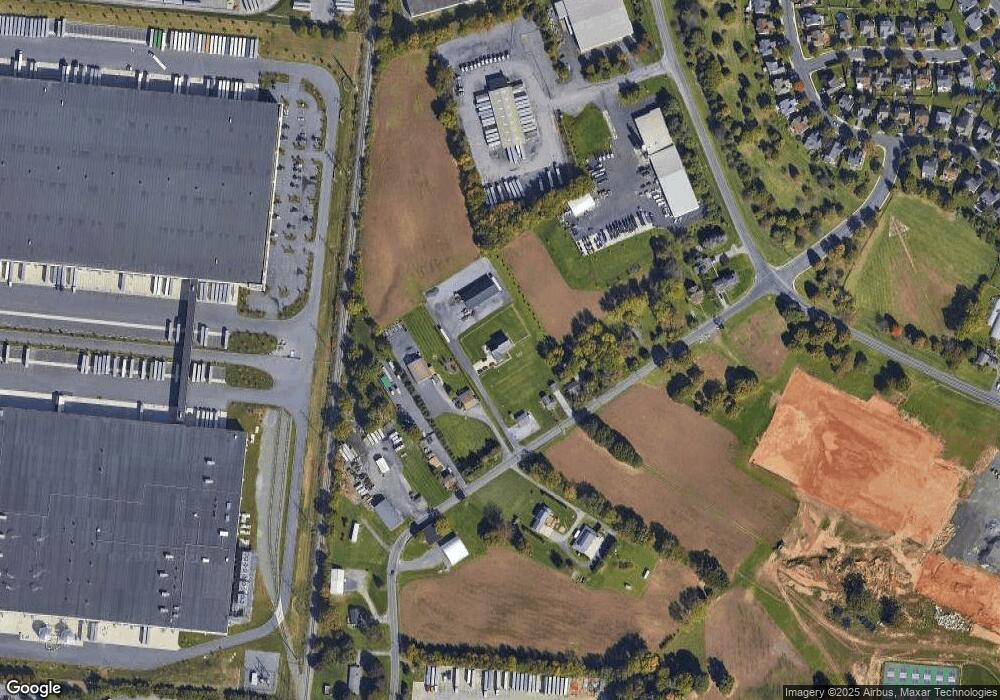
Map
Nearby Homes
- 280 Susquehanna Trail
- 172 Wyndham Dr
- 5926 Holiday Dr
- 2021 Hickory Ln
- 6401 Fir Rd
- 515 Ponds Edge Ln
- 5821 Daniel St
- 8053 Cross Creek Cir
- 6126 Palomino Dr
- 7468 Continental Cir
- 1013 Turnstone Dr
- 6645 Stein Way Unit 6639-6661
- 1083 Meadowlark Dr
- 1081 Meadowlark Dr
- 1077 Meadowlark Dr
- 1087 Meadowlark Dr
- Regent Plan at Wrenfield
- Charleston Plan at Wrenfield
- 439 Gray Feather Way
- 1092 Meadowlark Dr
- 7035 Ruppsville Rd
- 6931 Ruppsville Rd
- 6923 Ruppsville Rd
- 7039 Ruppsville Rd
- 7040 Ruppsville Rd
- 6915 Ruppsville Rd
- 7043 Ruppsville Rd
- 7036 Ruppsville Rd
- 7115 Ruppsville Rd
- 6861 Ruppsville Rd
- 7119 Ruppsville Rd
- 7123 Ruppsville Rd
- 224 Susquehanna Trail
- 220 Susquehanna Trail
- 228 Susquehanna Trail
- 216 Susquehanna Trail
- 232 Susquehanna Trail
- 212 Susquehanna Trail
- 236 Susquehanna Trail
- 208 Susquehanna Trail