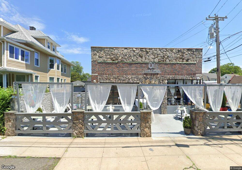
694 Brooklawn Ave Bridge Port, CT 06604
Brooklawn-Saint Vincent NeighborhoodEstimated Value: $749,371
--
Bed
--
Bath
2,460
Sq Ft
$305/Sq Ft
Est. Value
About This Home
This home is located at 694 Brooklawn Ave, Bridge Port, CT 06604 and is currently estimated at $749,371, approximately $304 per square foot. 694 Brooklawn Ave is a home located in Fairfield County with nearby schools including Stratfield Elementary School, Tomlinson Middle School, and Fairfield Warde High School.
Ownership History
Date
Name
Owned For
Owner Type
Purchase Details
Closed on
Mar 2, 2018
Sold by
Cornell Brooklawn Llc
Bought by
6K Llc
Current Estimated Value
Purchase Details
Closed on
Jun 2, 2004
Sold by
Hoffman Edna
Bought by
Cornell Brooklawn Llc
Home Financials for this Owner
Home Financials are based on the most recent Mortgage that was taken out on this home.
Original Mortgage
$409,500
Interest Rate
3.5%
Mortgage Type
Commercial
Create a Home Valuation Report for This Property
The Home Valuation Report is an in-depth analysis detailing your home's value as well as a comparison with similar homes in the area
Home Values in the Area
Average Home Value in this Area
Purchase History
| Date | Buyer | Sale Price | Title Company |
|---|---|---|---|
| 6K Llc | -- | -- | |
| 6K Llc | -- | -- | |
| Cornell Brooklawn Llc | $455,000 | -- | |
| Cornell Brooklawn Llc | $455,000 | -- |
Source: Public Records
Mortgage History
| Date | Status | Borrower | Loan Amount |
|---|---|---|---|
| Previous Owner | Cornell Brooklawn Llc | $409,500 |
Source: Public Records
Tax History Compared to Growth
Tax History
| Year | Tax Paid | Tax Assessment Tax Assessment Total Assessment is a certain percentage of the fair market value that is determined by local assessors to be the total taxable value of land and additions on the property. | Land | Improvement |
|---|---|---|---|---|
| 2025 | $8,876 | $204,280 | $106,580 | $97,700 |
| 2024 | $8,876 | $204,280 | $106,580 | $97,700 |
| 2023 | $8,876 | $204,280 | $106,580 | $97,700 |
| 2022 | $8,876 | $204,280 | $106,580 | $97,700 |
| 2021 | $8,876 | $204,280 | $106,580 | $97,700 |
| 2020 | $9,947 | $184,230 | $87,280 | $96,950 |
| 2019 | $9,947 | $184,230 | $87,280 | $96,950 |
| 2018 | $10,017 | $184,230 | $87,280 | $96,950 |
| 2017 | $10,017 | $184,230 | $87,280 | $96,950 |
| 2016 | $10,017 | $184,230 | $87,280 | $96,950 |
| 2015 | $8,408 | $199,250 | $90,760 | $108,490 |
| 2014 | $8,408 | $199,250 | $90,760 | $108,490 |
Source: Public Records
Map
Nearby Homes
- 605 Brooklawn Ave
- 1213 Wood Ave
- 1473 Wood Ave
- 1480 Capitol Ave Unit 811
- 665 W Taft Ave
- 2445 Park Ave Unit 23
- 2345 Park Ave
- 2625 Park Ave Unit 12L
- 2625 Park Ave Unit 5S
- 2625 Park Ave Unit 5N
- 2675 Park Ave Unit 3
- 2675 Park Ave Unit 22
- 1275 Capitol Ave
- 356 Taft Ave
- 860 Briarwood Ave
- 90 White Oak Rd
- 184 Pacific St
- 125 Alexander Dr
- 201 High Ridge Dr
- 687 Wood Ave
- 698 Brooklawn Ave Unit 700
- 666 Brooklawn Ave
- 1559 Laurel Ave
- 750 Brooklawn Ave
- 1550 Laurel Ave
- 650 Brooklawn Ave
- 1720 Capitol Ave
- 19 Collingwood Ave
- 1539 Laurel Ave
- 1604 Laurel Ave
- 636 Brooklawn Ave
- 1560 Laurel Ave
- 1620 Laurel Ave
- 652 Brooklawn Ave
- 1610 Laurel Ave
- 1705 Capitol Ave
- 1529 Laurel Ave
- 1714 Capitol Ave
- 630 Brooklawn Ave