694 Quail Ave Geneva, IA 50633
Estimated Value: $69,000 - $674,551
3
Beds
3
Baths
1,845
Sq Ft
$202/Sq Ft
Est. Value
About This Home
This home is located at 694 Quail Ave, Geneva, IA 50633 and is currently estimated at $371,776, approximately $201 per square foot. 694 Quail Ave is a home located in Franklin County with nearby schools including North Side Elementary School, South Side Elementary School, and Hampton-Dumont Middle School.
Ownership History
Date
Name
Owned For
Owner Type
Purchase Details
Closed on
Sep 30, 2005
Sold by
Lukensmeyer Debbra Lee Ann and Lukensmeyer Richard David
Bought by
Sailer Kristopher Jacob
Current Estimated Value
Home Financials for this Owner
Home Financials are based on the most recent Mortgage that was taken out on this home.
Original Mortgage
$425,000
Interest Rate
5.88%
Mortgage Type
Future Advance Clause Open End Mortgage
Create a Home Valuation Report for This Property
The Home Valuation Report is an in-depth analysis detailing your home's value as well as a comparison with similar homes in the area
Home Values in the Area
Average Home Value in this Area
Purchase History
| Date | Buyer | Sale Price | Title Company |
|---|---|---|---|
| Sailer Kristopher Jacob | $15,000 | None Available |
Source: Public Records
Mortgage History
| Date | Status | Borrower | Loan Amount |
|---|---|---|---|
| Closed | Sailer Kristopher Jacob | $425,000 |
Source: Public Records
Tax History Compared to Growth
Tax History
| Year | Tax Paid | Tax Assessment Tax Assessment Total Assessment is a certain percentage of the fair market value that is determined by local assessors to be the total taxable value of land and additions on the property. | Land | Improvement |
|---|---|---|---|---|
| 2025 | $6,696 | $464,300 | $10,900 | $453,400 |
| 2024 | $6,696 | $415,900 | $7,900 | $408,000 |
| 2023 | $5,488 | $402,600 | $7,900 | $394,700 |
| 2022 | $5,644 | $277,000 | $6,000 | $271,000 |
| 2021 | $5,644 | $281,100 | $6,500 | $274,600 |
| 2020 | $4,480 | $261,300 | $6,200 | $255,100 |
| 2019 | $2,920 | $184,900 | $0 | $0 |
| 2018 | $2,502 | $157,900 | $0 | $0 |
| 2017 | $2,502 | $186,400 | $0 | $0 |
| 2016 | $2,690 | $186,400 | $0 | $0 |
| 2015 | $2,690 | $168,300 | $0 | $0 |
| 2014 | $2,476 | $164,500 | $0 | $0 |
Source: Public Records
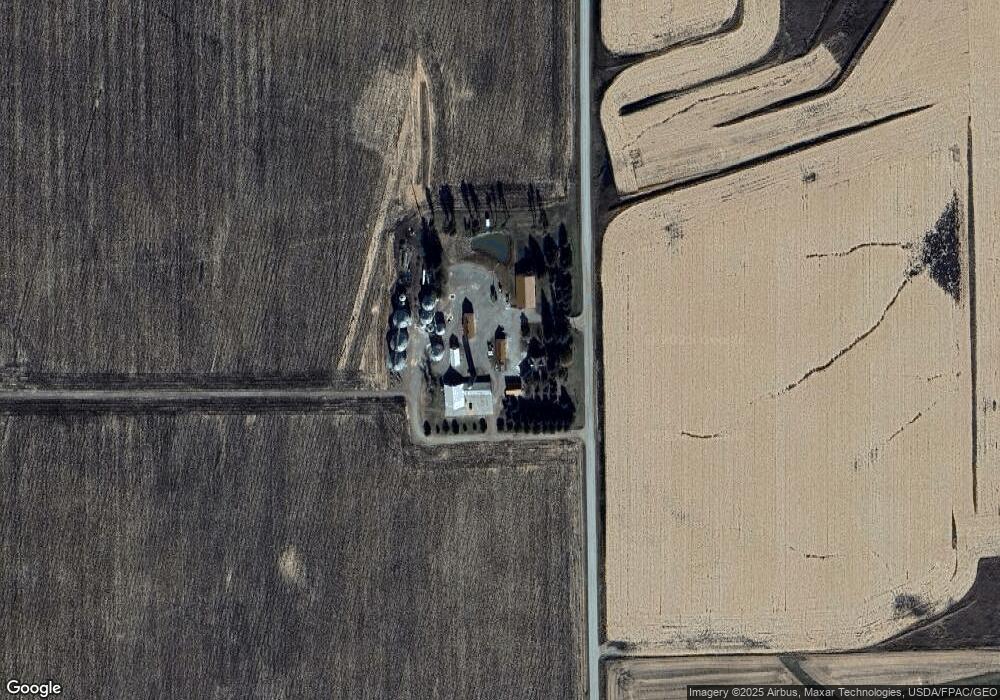
Map
Nearby Homes
- 302 2nd St
- 981 Spruce Ave
- 410 10th St SE
- 0 11th St SE
- 409 5th St SW
- 114 7th St SE
- 114 4th St SE
- 319 3rd Ave SW
- 705 Central Ave E
- 602 Central Ave E
- 518 Central Ave E
- 716 1st Ave NE
- TBD Iowa 3
- 999 Glendale Park Dr
- 1318 Sunset Dr
- 1330 Sunset Dr
- 11698 County Highway S33
- 1/2 2nd Ave NW
- 302 1st St NW
- 419 10th Ave NE