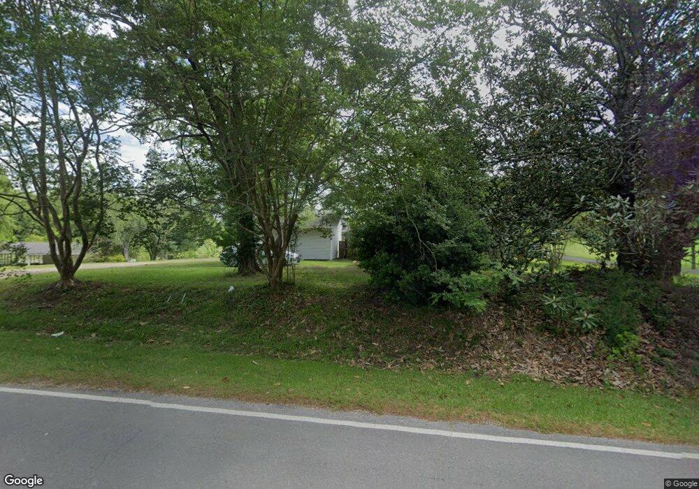
694 Reid Rd Laurel, MS 39443
Estimated Value: $138,694 - $172,000
3
Beds
1
Bath
1,330
Sq Ft
$113/Sq Ft
Est. Value
About This Home
This home is located at 694 Reid Rd, Laurel, MS 39443 and is currently estimated at $149,898, approximately $112 per square foot. 694 Reid Rd is a home located in Jones County with nearby schools including East Jones Elementary School.
Ownership History
Date
Name
Owned For
Owner Type
Purchase Details
Closed on
Jun 5, 2020
Sold by
Minyard Corey B and Minyard Stephanie K
Bought by
Guthrie Hunter and Snyder Ericka D
Current Estimated Value
Home Financials for this Owner
Home Financials are based on the most recent Mortgage that was taken out on this home.
Original Mortgage
$116,161
Outstanding Balance
$102,740
Interest Rate
3.2%
Mortgage Type
New Conventional
Estimated Equity
$47,158
Purchase Details
Closed on
Jun 7, 2013
Sold by
Grayson Donna and Porter Debbie
Bought by
Minyard Corey B and Minyard Stephanie K
Home Financials for this Owner
Home Financials are based on the most recent Mortgage that was taken out on this home.
Original Mortgage
$81,122
Interest Rate
3.42%
Purchase Details
Closed on
Dec 8, 2008
Sold by
Thompson Herbert R and Thompson Joyce C
Bought by
Hodge B J and Hodge Eloise C
Purchase Details
Closed on
Nov 20, 2007
Sold by
White Timothy W
Bought by
Hodge B J and Hodge Eloise C
Create a Home Valuation Report for This Property
The Home Valuation Report is an in-depth analysis detailing your home's value as well as a comparison with similar homes in the area
Purchase History
| Date | Buyer | Sale Price | Title Company |
|---|---|---|---|
| Guthrie Hunter | -- | -- | |
| Minyard Corey B | -- | -- | |
| Hodge B J | -- | -- | |
| Hodge B J | -- | -- |
Source: Public Records
Mortgage History
| Date | Status | Borrower | Loan Amount |
|---|---|---|---|
| Open | Guthrie Hunter | $116,161 | |
| Previous Owner | Minyard Corey B | $81,122 |
Source: Public Records
Tax History
| Year | Tax Paid | Tax Assessment Tax Assessment Total Assessment is a certain percentage of the fair market value that is determined by local assessors to be the total taxable value of land and additions on the property. | Land | Improvement |
|---|---|---|---|---|
| 2025 | $1,397 | $11,601 | $0 | $0 |
| 2024 | $1,240 | $9,793 | $0 | $0 |
| 2023 | $1,240 | $9,793 | $0 | $0 |
| 2022 | $716 | $6,553 | $0 | $0 |
| 2021 | $720 | $6,555 | $0 | $0 |
| 2020 | $577 | $6,316 | $0 | $0 |
| 2019 | $592 | $6,403 | $0 | $0 |
| 2018 | $592 | $6,403 | $0 | $0 |
| 2017 | $591 | $6,403 | $0 | $0 |
| 2016 | $538 | $6,052 | $0 | $0 |
| 2015 | $510 | $6,157 | $0 | $0 |
| 2014 | $510 | $6,157 | $0 | $0 |
Source: Public Records
Map
Nearby Homes
- 16 Shadow Ridge Dr
- 17 Shadow Ridge Dr
- 10 Shadow Ridge Dr
- 19 Shadow Ridge Dr
- 22 Shadow Ridge Dr
- 12 Timber Ridge
- 30 Shadow Ridge Dr
- 00 Timber Ridge Dr
- 8 Shadow Ridge Dr
- 215 Church Dr
- 36 Powers Dr
- 73 Pine Dr
- 224 Magnolia Rd
- 0 Crumbly Rd Unit 37440
- 582 Antioch Dr
- 0 Pine Dr
- 27 Forest Glen Dr
- 76 Reid Rd
- 0 Magnolia Rd
- 17 Stone Cut Off Rd
Your Personal Tour Guide
Ask me questions while you tour the home.