Estimated Value: $293,000 - $626,000
3
Beds
2
Baths
1,924
Sq Ft
$234/Sq Ft
Est. Value
About This Home
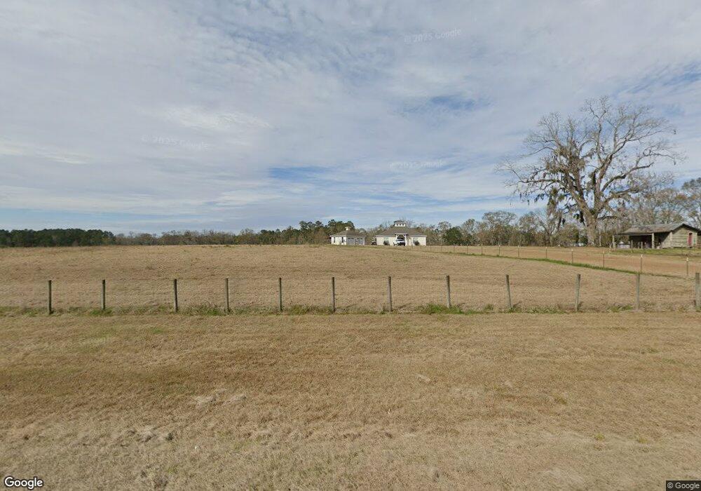
This home is located at 6942 Ga Highway 111 S, Cairo, GA 39828 and is currently estimated at $449,278, approximately $233 per square foot. 6942 Ga Highway 111 S is a home located in Grady County.
Ownership History
Date
Name
Owned For
Owner Type
Purchase Details
Closed on
Oct 1, 2025
Sold by
Forehand Harvey B
Bought by
Witherow Todd
Current Estimated Value
Purchase Details
Closed on
Apr 27, 2007
Sold by
Ruch Dallan
Bought by
Forehand Harvey B
Home Financials for this Owner
Home Financials are based on the most recent Mortgage that was taken out on this home.
Original Mortgage
$294,000
Interest Rate
6.11%
Mortgage Type
New Conventional
Purchase Details
Closed on
Aug 18, 2005
Sold by
Forhand Harvey Bonnell
Bought by
Ruch Dallan and Ruch Angela
Create a Home Valuation Report for This Property
The Home Valuation Report is an in-depth analysis detailing your home's value as well as a comparison with similar homes in the area
Home Values in the Area
Average Home Value in this Area
Purchase History
| Date | Buyer | Sale Price | Title Company |
|---|---|---|---|
| Witherow Todd | $150,000 | -- | |
| Forehand Harvey B | $382,000 | -- | |
| Ruch Dallan | $160,000 | -- |
Source: Public Records
Mortgage History
| Date | Status | Borrower | Loan Amount |
|---|---|---|---|
| Previous Owner | Forehand Harvey B | $294,000 |
Source: Public Records
Tax History Compared to Growth
Tax History
| Year | Tax Paid | Tax Assessment Tax Assessment Total Assessment is a certain percentage of the fair market value that is determined by local assessors to be the total taxable value of land and additions on the property. | Land | Improvement |
|---|---|---|---|---|
| 2024 | $2,764 | $102,128 | $17,696 | $84,432 |
| 2023 | $2,089 | $85,721 | $24,232 | $61,489 |
| 2022 | $2,635 | $103,596 | $24,232 | $79,364 |
| 2021 | $2,640 | $103,596 | $24,232 | $79,364 |
| 2020 | $2,646 | $103,596 | $24,232 | $79,364 |
| 2019 | $2,642 | $103,596 | $24,232 | $79,364 |
| 2018 | $2,955 | $103,596 | $24,232 | $79,364 |
| 2017 | $2,813 | $103,596 | $24,232 | $79,364 |
| 2016 | $2,488 | $91,311 | $24,232 | $67,078 |
| 2015 | $2,450 | $91,049 | $24,232 | $66,817 |
| 2014 | $2,453 | $91,049 | $24,232 | $66,817 |
| 2013 | -- | $84,708 | $21,636 | $63,072 |
Source: Public Records
Map
Nearby Homes
- 235 2nd Ave
- 198 2nd Ave
- 4258 Lower Hawthorne Trail
- 114 Emily Ln
- 115 Isabelle Ln
- 48 Blue Bird Ct
- 7667 Tallahassee Hwy
- 0 Fla-Ga Hwy Unit 355337
- 170 Pine Top Trail
- 9778 Florida Georgia Hwy
- 185 Maggies Dr
- 151 Mcnair Rd
- XXXX Fairbanks Ferry Ct
- 3621 Concord Rd
- 2525 Fairbanks Ferry Rd
- 15222 High Hill Cir
- 1447 Deer Run Rd
- 226 My St
- 404 Beaver Lake Rd
- 2065 Wayside Farm Rd
- 6919 Ga Highway 111 S
- 6937 Ga Highway 111 S
- 6955 Ga Highway 111 S
- 111 S S Hwy
- 6896 Ga Highway 111 S
- 7016 Ga Highway 111 S
- 6829 Ga Highway 111 S
- 6816 Ga Highway 111 S
- 6816 Ga Highway 111 S
- 4947 Lower Hawthorne Trail
- 6782 Ga Highway 111 S
- 4963 Lower Hawthorne Trail
- 4987 Lower Hawthorne Trail
- 5001 Lower Hawthorne Trail
- 4984 Lower Hawthorne Trail
- 4958 Lower Hawthorne Trail
- 106 Johnson Rd SE
- 132 Johnson Rd
- 4823 Lower Hawthorne Trail
- 174 Pine Lakes Dr