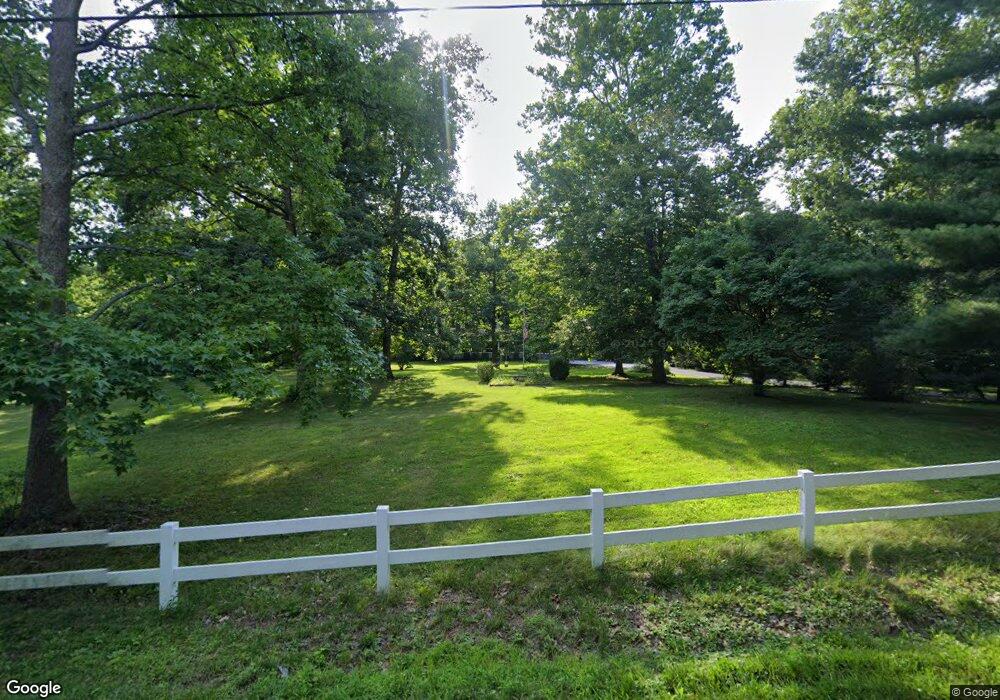
6945 Michael Rd Middletown, OH 45042
Madison Township NeighborhoodEstimated Value: $386,000 - $462,205
3
Beds
2
Baths
2,722
Sq Ft
$153/Sq Ft
Est. Value
About This Home
This home is located at 6945 Michael Rd, Middletown, OH 45042 and is currently estimated at $416,801, approximately $153 per square foot. 6945 Michael Rd is a home located in Butler County with nearby schools including Madison High School.
Ownership History
Date
Name
Owned For
Owner Type
Purchase Details
Closed on
Apr 15, 2020
Sold by
Mcgee Charles L
Bought by
Mcgee Robert M
Current Estimated Value
Home Financials for this Owner
Home Financials are based on the most recent Mortgage that was taken out on this home.
Original Mortgage
$101,000
Outstanding Balance
$89,132
Interest Rate
3.2%
Mortgage Type
New Conventional
Estimated Equity
$327,669
Purchase Details
Closed on
Feb 26, 2019
Sold by
Mcgee Charles Lee
Bought by
Mcgee Charles Lee and Mcgee Family Trust
Purchase Details
Closed on
Jul 18, 2018
Sold by
Estate Of Alma Jean Mcgee
Bought by
Mcgee Charles Lee
Create a Home Valuation Report for This Property
The Home Valuation Report is an in-depth analysis detailing your home's value as well as a comparison with similar homes in the area
Home Values in the Area
Average Home Value in this Area
Purchase History
| Date | Buyer | Sale Price | Title Company |
|---|---|---|---|
| Mcgee Robert M | $250,000 | Wave Title Agency Inc | |
| Mcgee Charles Lee | -- | None Available | |
| Mcgee Charles Lee | -- | None Available |
Source: Public Records
Mortgage History
| Date | Status | Borrower | Loan Amount |
|---|---|---|---|
| Open | Mcgee Robert M | $101,000 |
Source: Public Records
Tax History Compared to Growth
Tax History
| Year | Tax Paid | Tax Assessment Tax Assessment Total Assessment is a certain percentage of the fair market value that is determined by local assessors to be the total taxable value of land and additions on the property. | Land | Improvement |
|---|---|---|---|---|
| 2024 | $5,504 | $133,890 | $30,000 | $103,890 |
| 2023 | $5,463 | $133,890 | $30,000 | $103,890 |
| 2022 | $4,433 | $93,880 | $30,000 | $63,880 |
| 2021 | $3,973 | $93,880 | $30,000 | $63,880 |
| 2020 | $3,750 | $93,880 | $30,000 | $63,880 |
| 2019 | $5,041 | $87,070 | $30,000 | $57,070 |
| 2018 | $3,728 | $87,070 | $30,000 | $57,070 |
| 2017 | $3,726 | $87,070 | $30,000 | $57,070 |
| 2016 | $3,575 | $81,510 | $30,000 | $51,510 |
| 2015 | $3,611 | $81,510 | $30,000 | $51,510 |
| 2014 | $3,170 | $81,510 | $30,000 | $51,510 |
| 2013 | $3,170 | $73,180 | $30,000 | $43,180 |
Source: Public Records
Map
Nearby Homes
- 6823 Michael Rd
- 5750 Trenton Franklin Rd
- 881 Middletown Eaton Rd
- 526 Hill St
- 5357 Front St
- 6136 Hursh Rd
- 5386 Mosiman Rd
- 7943 Edgewater Dr
- 1675 Middletown Eaton Rd
- 433 Leichty Ave
- 6104 Rivers Edge Dr
- 6110 Rivers Edge Dr
- 6190 Joann Ln
- 8470 Corlee Rd
- 5801 Elk Creek Rd
- 4849 Trenton Franklin Rd
- 1100 Hughes St
- 4750 Eck Rd
- 6339 Germantown Rd
- 702 Washington St
- 6941 Michael Rd
- 6919 Michael Rd
- 6939 Michael Rd
- 6895 Michael Rd
- 6949 Michael Rd
- 6829 Michael Rd
- 6881 Michael Rd
- 6861 Michael Rd
- 6835 Michael Rd
- 429 Michael Rd
- 6827 Michael Rd
- 6960 Michael Rd
- 6952 Michael Rd
- 7006 Michael Rd
- 6984 Michael Rd
- 6817 Michael Rd
- 6858 Michael Rd
- 6892 Michael Rd
- 6846 Michael Rd
- 7066 Michael Rd
