6945 Plateau Ln Morrison, CO 80465
North Turkey Creek NeighborhoodEstimated Value: $879,000 - $1,033,000
3
Beds
5
Baths
2,208
Sq Ft
$427/Sq Ft
Est. Value
About This Home
This home is located at 6945 Plateau Ln, Morrison, CO 80465 and is currently estimated at $942,467, approximately $426 per square foot. 6945 Plateau Ln is a home located in Jefferson County with nearby schools including Marshdale Elementary School, West Jefferson Middle School, and Conifer Senior High School.
Ownership History
Date
Name
Owned For
Owner Type
Purchase Details
Closed on
Sep 17, 2003
Sold by
Hemlein Kristin L and Coote Timothy P
Bought by
Polla Donald S
Current Estimated Value
Home Financials for this Owner
Home Financials are based on the most recent Mortgage that was taken out on this home.
Original Mortgage
$308,800
Interest Rate
6.22%
Mortgage Type
Balloon
Purchase Details
Closed on
Jan 10, 2002
Sold by
Hemlein Kristin L
Bought by
Hemlein Kristin L and Coote Timothy P
Home Financials for this Owner
Home Financials are based on the most recent Mortgage that was taken out on this home.
Original Mortgage
$103,500
Interest Rate
5.87%
Purchase Details
Closed on
Oct 15, 1993
Sold by
Hemlein Kristin
Bought by
Hemlein Kristin L
Create a Home Valuation Report for This Property
The Home Valuation Report is an in-depth analysis detailing your home's value as well as a comparison with similar homes in the area
Home Values in the Area
Average Home Value in this Area
Purchase History
| Date | Buyer | Sale Price | Title Company |
|---|---|---|---|
| Polla Donald S | $386,000 | -- | |
| Hemlein Kristin L | -- | Chicago Title Co | |
| Hemlein Kristin L | -- | -- |
Source: Public Records
Mortgage History
| Date | Status | Borrower | Loan Amount |
|---|---|---|---|
| Closed | Polla Donald S | $308,800 | |
| Previous Owner | Hemlein Kristin L | $103,500 | |
| Closed | Polla Donald S | $77,200 |
Source: Public Records
Tax History Compared to Growth
Tax History
| Year | Tax Paid | Tax Assessment Tax Assessment Total Assessment is a certain percentage of the fair market value that is determined by local assessors to be the total taxable value of land and additions on the property. | Land | Improvement |
|---|---|---|---|---|
| 2024 | $5,050 | $55,063 | $19,967 | $35,096 |
| 2023 | $5,050 | $55,063 | $19,967 | $35,096 |
| 2022 | $4,177 | $44,213 | $11,631 | $32,582 |
| 2021 | $4,220 | $45,486 | $11,966 | $33,520 |
| 2020 | $3,660 | $39,139 | $8,317 | $30,822 |
| 2019 | $3,608 | $39,139 | $8,317 | $30,822 |
| 2018 | $3,504 | $36,756 | $9,036 | $27,720 |
| 2017 | $3,190 | $36,756 | $9,036 | $27,720 |
| 2016 | $3,238 | $34,863 | $7,512 | $27,351 |
| 2015 | $2,798 | $34,863 | $7,512 | $27,351 |
| 2014 | $2,798 | $29,236 | $9,097 | $20,139 |
Source: Public Records
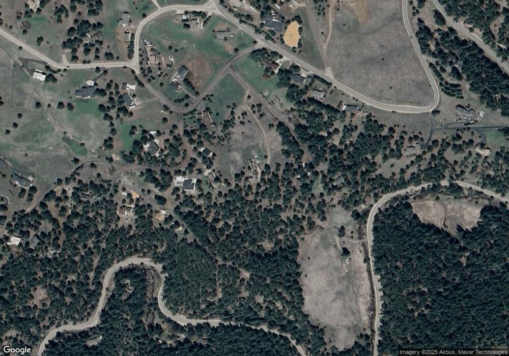
Map
Nearby Homes
- 6616 High Dr
- 6530 Ridgeview Dr
- 7790 S Homesteader Dr
- 8036 Settlers Dr
- 8090 S Homesteader Dr
- 5886 High Dr
- 8191 S Homesteader Dr
- 8045 S Wagon Wheel Rd
- 8066 Federation Dr
- 6880 Kilimanjaro Dr
- 6860 Kilimanjaro Dr
- 7559 S Turkey Creek Rd
- 5732 Santa Clara Rd
- 7033 Silverhorn Dr
- 8386 S Davco Dr
- 7082 Silverhorn Dr
- 5939 Lone Peak Dr
- 8422 S Ault Ln
- 22196 Boar Head Rd
- 5424 Cheyenne Rd
- 21860 Rinconada Rd
- 6955 Plateau Ln
- 21880 Rinconada Rd
- 21948 Plateau Cir
- 6954 Plateau Ln
- 21900 Rinconada Rd
- 6787 High Dr
- 6767 High Dr
- 6777 High Dr
- 21901 Rinconada Rd
- 21633 N Turkey Creek Rd
- 6797 High Dr
- 21929 Plateau Cir
- 21920 Rinconada Rd
- 6757 High Dr
- 21938 Plateau Cir
- 21939 Plateau Cir
- 6766 High Dr
- 21969 Plateau Cir
- 21482 Twin Peaks Ln