6947 61st Ln Norwalk, IA 50211
Warren County NeighborhoodEstimated Value: $809,000 - $847,000
4
Beds
6
Baths
2,740
Sq Ft
$302/Sq Ft
Est. Value
About This Home
This home is located at 6947 61st Ln, Norwalk, IA 50211 and is currently estimated at $828,020, approximately $302 per square foot. 6947 61st Ln is a home located in Warren County with nearby schools including Oviatt Elementary School, Orchard Hills Elementary School, and Lakewood Elementary School.
Ownership History
Date
Name
Owned For
Owner Type
Purchase Details
Closed on
Oct 27, 2021
Sold by
Van Dam Development Llc
Bought by
Van Dam Construction Llc
Current Estimated Value
Purchase Details
Closed on
Jan 5, 2009
Sold by
Van Dam Con Lcl
Bought by
Schirm Kristin R and Schirm Brent R
Home Financials for this Owner
Home Financials are based on the most recent Mortgage that was taken out on this home.
Original Mortgage
$343,023
Interest Rate
6.06%
Mortgage Type
New Conventional
Purchase Details
Closed on
Dec 30, 2008
Sold by
Van Dam Development Llc
Bought by
Van Dam Construction Llc
Home Financials for this Owner
Home Financials are based on the most recent Mortgage that was taken out on this home.
Original Mortgage
$343,023
Interest Rate
6.06%
Mortgage Type
New Conventional
Create a Home Valuation Report for This Property
The Home Valuation Report is an in-depth analysis detailing your home's value as well as a comparison with similar homes in the area
Home Values in the Area
Average Home Value in this Area
Purchase History
| Date | Buyer | Sale Price | Title Company |
|---|---|---|---|
| Van Dam Construction Llc | -- | None Available | |
| Schirm Kristin R | -- | None Available | |
| Van Dam Construction Llc | -- | None Available |
Source: Public Records
Mortgage History
| Date | Status | Borrower | Loan Amount |
|---|---|---|---|
| Previous Owner | Schirm Kristin R | $343,023 |
Source: Public Records
Tax History Compared to Growth
Tax History
| Year | Tax Paid | Tax Assessment Tax Assessment Total Assessment is a certain percentage of the fair market value that is determined by local assessors to be the total taxable value of land and additions on the property. | Land | Improvement |
|---|---|---|---|---|
| 2025 | $8,758 | $714,600 | $255,900 | $458,700 |
| 2024 | $8,824 | $672,700 | $87,200 | $585,500 |
| 2023 | $7,930 | $672,700 | $87,200 | $585,500 |
| 2022 | $7,876 | $525,300 | $85,500 | $439,800 |
| 2021 | $8,070 | $525,300 | $85,500 | $439,800 |
| 2020 | $8,070 | $496,900 | $85,500 | $411,400 |
| 2019 | $7,704 | $496,900 | $85,500 | $411,400 |
| 2018 | $7,816 | $468,900 | $0 | $0 |
| 2017 | $7,398 | $468,900 | $0 | $0 |
| 2016 | $7,330 | $427,200 | $0 | $0 |
| 2015 | $7,330 | $427,200 | $0 | $0 |
| 2014 | $7,406 | $430,900 | $0 | $0 |
Source: Public Records
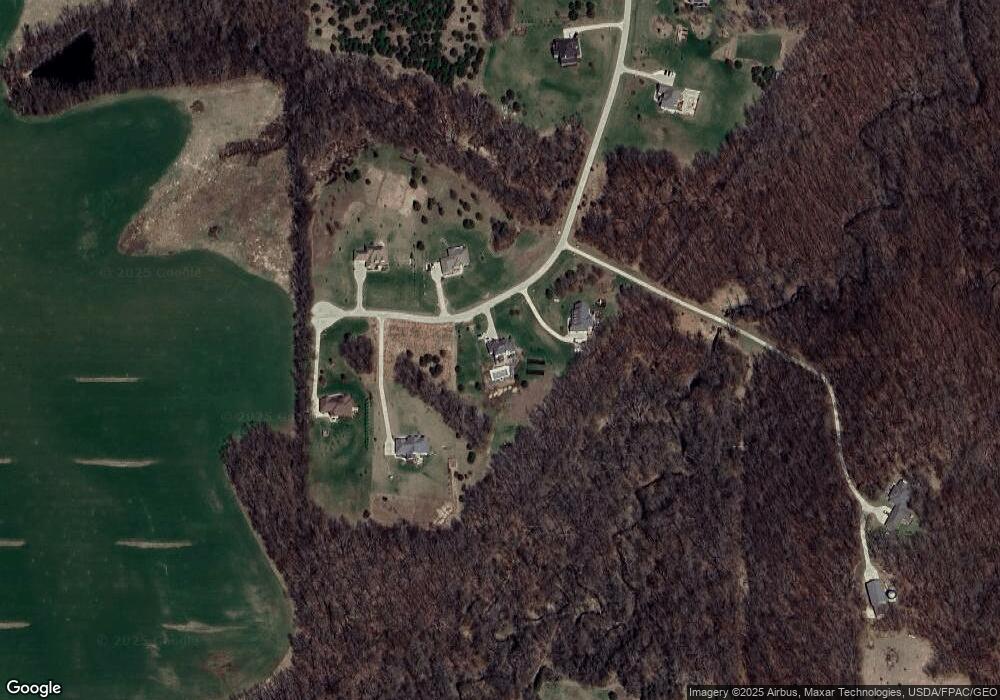
Map
Nearby Homes
- 6245 61st Ln
- 6480 64th Ln
- 7087 Highway 28
- 5087 Fulton St
- 5077 Fulton St
- 5981 Highway 28
- 6617 50th Ave
- 6613 50th Ave
- 6609 50th Ave
- 7291 70th Ave
- 5698 61st Ln
- 7257 Geneva St
- 0000 78th Ave
- 0 43rd Ave
- 7743 43rd Ave
- 8227 Geneva St
- 0 Hempstead Place
- 00 Hempstead Place
- 01 County Road R45
- 00 County Road R45