Estimated Value: $896,695
3
Beds
3
Baths
3,296
Sq Ft
$272/Sq Ft
Est. Value
About This Home
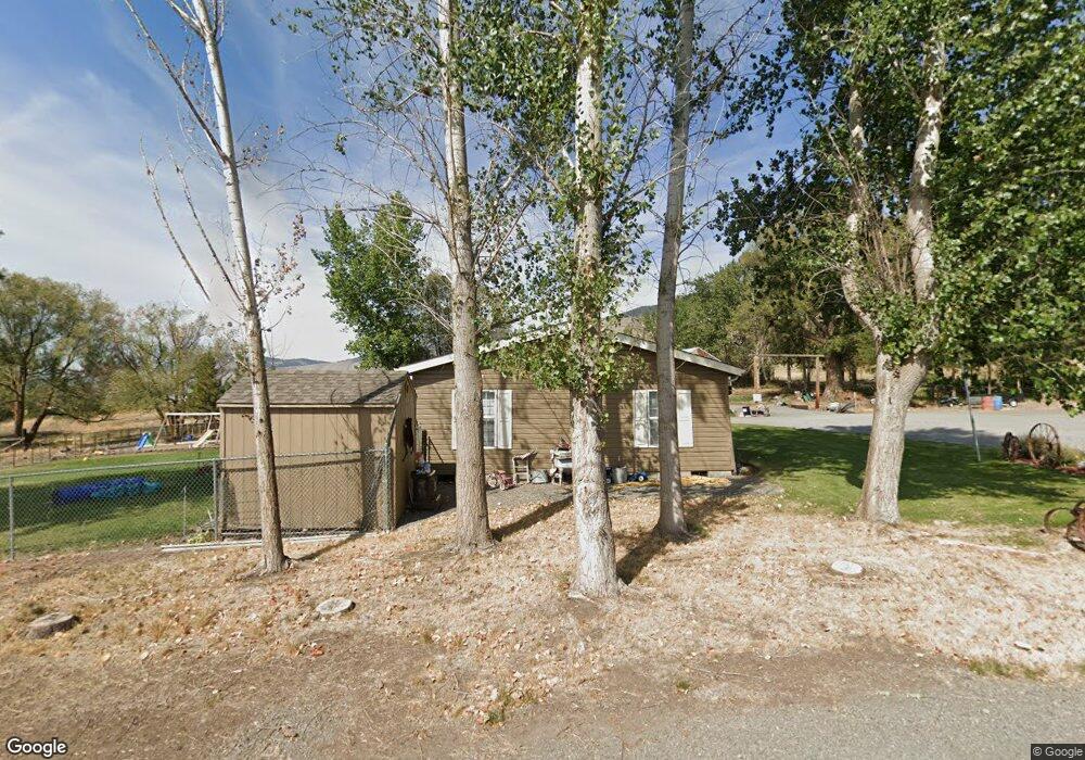
This home is located at 69495 Lantz Ln, Cove, OR 97824 and is currently estimated at $896,695, approximately $272 per square foot. 69495 Lantz Ln is a home located in Union County with nearby schools including Cove Charter School and Grande Ronde Mennonite.
Ownership History
Date
Name
Owned For
Owner Type
Purchase Details
Closed on
Jul 17, 2015
Sold by
Sheabley Denise E and Sheabley Robert W
Bought by
Sheabley Robert W and Sheabley Denise E
Current Estimated Value
Purchase Details
Closed on
Nov 9, 2009
Sold by
Sheasly Robert Walter and Sheasly Denise E
Bought by
Sheasly Robert W and Sheasly Denise E
Create a Home Valuation Report for This Property
The Home Valuation Report is an in-depth analysis detailing your home's value as well as a comparison with similar homes in the area
Purchase History
| Date | Buyer | Sale Price | Title Company |
|---|---|---|---|
| Sheabley Robert W | -- | None Available | |
| Sheasly Robert W | -- | None Available | |
| Sheasly Robert W | -- | None Available |
Source: Public Records
Tax History
| Year | Tax Paid | Tax Assessment Tax Assessment Total Assessment is a certain percentage of the fair market value that is determined by local assessors to be the total taxable value of land and additions on the property. | Land | Improvement |
|---|---|---|---|---|
| 2025 | $3,854 | $400,224 | $33,044 | $367,180 |
| 2024 | $3,742 | $388,570 | $32,080 | $356,490 |
| 2023 | $3,633 | $377,260 | $31,150 | $346,110 |
| 2022 | $3,527 | $366,259 | $30,246 | $336,013 |
| 2021 | $3,424 | $355,592 | $29,365 | $326,227 |
| 2020 | $3,324 | $345,236 | $28,511 | $316,725 |
| 2019 | $3,228 | $335,181 | $27,682 | $307,499 |
| 2018 | $3,134 | $325,419 | $26,876 | $298,543 |
| 2017 | $3,042 | $315,941 | $26,093 | $289,848 |
| 2016 | $2,954 | $306,740 | $25,334 | $281,406 |
Source: Public Records
Map
Nearby Homes
- 0 Antles Ln Unit 436244681
- 69717 Antles Ln
- 69431 Antles Ln
- 60923 Overlook Dr
- 0 Conklin Ln Unit 232609065
- 1107 Jasper St
- 69478 Haefer Ln
- 0 Rose Ridge Rd Unit 3
- 0 Rose Ridge Rd Unit 1
- 0 Rose Ridge Rd Unit 22290306
- 0 Rose Ridge Rd Unit 2
- 59926 Comstock Rd
- 61938 High Valley Rd
- 61615 High Valley Rd
- 58015 Godley Rd
- 293 E Ivy Ln
- 141 E Bryan Ave
- 1270 N 1st St
- 1020 N Bellwood St
- 972 N Bellwood Ave
- 69585 Lantz Ln
- 61369 Lower Cove Rd
- 69525 Lantz Ln
- 69639 Lantz Ln
- 69574 Lantz Ln
- 69570 Lantz Ln
- 69572 Lantz Ln
- 69431 Lantz Ln
- 69494 Lantz Ln
- 69465 Lantz Ln
- 69480 Lantz Ln
- 69452 Lantz Ln
- 69613 Squire Loop
- 69697 Lantz Ln
- 0 Squire Loop Unit 9084092
- 0 Squire Loop Unit 9092042
- 0 Squire Loop Unit 11070902
- 0 Squire Loop Unit 13103042
- 0 Squire Loop Unit 8
- 61210 Love Rd
Your Personal Tour Guide
Ask me questions while you tour the home.