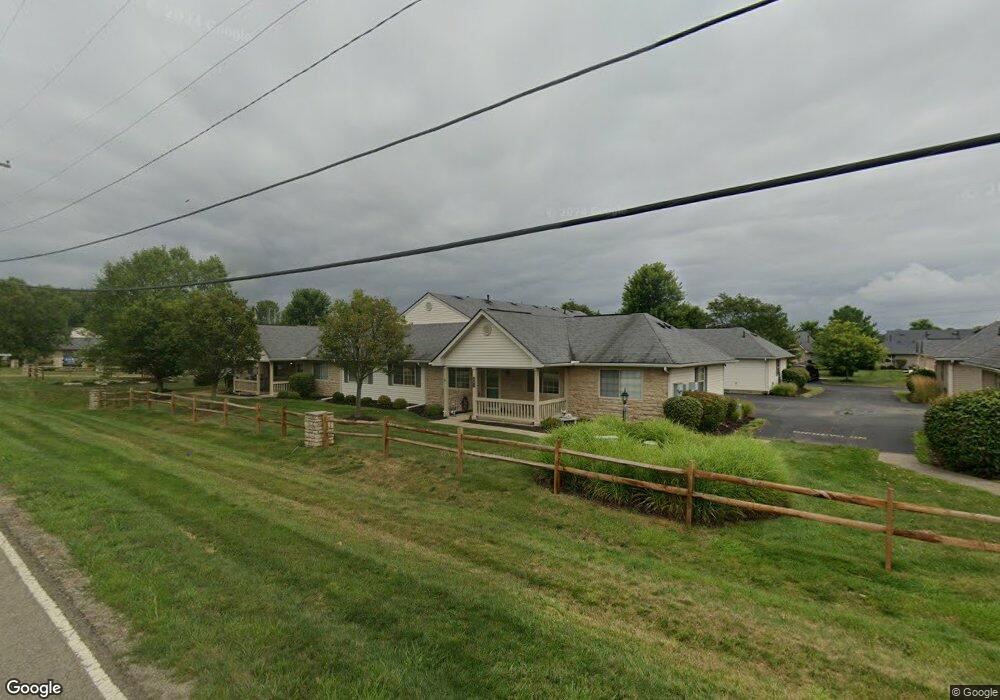
695 Fox Run Cir Unit 695 Newark, OH 43055
Estimated Value: $259,000 - $289,000
3
Beds
2
Baths
1,272
Sq Ft
$216/Sq Ft
Est. Value
About This Home
This home is located at 695 Fox Run Cir Unit 695, Newark, OH 43055 and is currently estimated at $274,149, approximately $215 per square foot. 695 Fox Run Cir Unit 695 is a home located in Licking County with nearby schools including Legend Elementary School, Liberty Middle School, and Newark High School.
Ownership History
Date
Name
Owned For
Owner Type
Purchase Details
Closed on
Aug 6, 2024
Sold by
Grower James E & Nancy W
Bought by
Grower Family Living Trust and Grower
Current Estimated Value
Purchase Details
Closed on
Oct 27, 2023
Sold by
Kutan Brenda L
Bought by
Grower James and Grower Nancy
Purchase Details
Closed on
Apr 13, 2007
Sold by
Mid Ohio Development Fox Run Condominium
Bought by
Kutan Norman P and Kutan Brenda L
Home Financials for this Owner
Home Financials are based on the most recent Mortgage that was taken out on this home.
Original Mortgage
$20,000
Interest Rate
6.2%
Mortgage Type
Purchase Money Mortgage
Create a Home Valuation Report for This Property
The Home Valuation Report is an in-depth analysis detailing your home's value as well as a comparison with similar homes in the area
Home Values in the Area
Average Home Value in this Area
Purchase History
| Date | Buyer | Sale Price | Title Company |
|---|---|---|---|
| Grower Family Living Trust | -- | None Listed On Document | |
| Grower James | $249,500 | Crown Search Services | |
| Kutan Norman P | $157,900 | Attorney |
Source: Public Records
Mortgage History
| Date | Status | Borrower | Loan Amount |
|---|---|---|---|
| Previous Owner | Kutan Norman P | $20,000 |
Source: Public Records
Tax History Compared to Growth
Tax History
| Year | Tax Paid | Tax Assessment Tax Assessment Total Assessment is a certain percentage of the fair market value that is determined by local assessors to be the total taxable value of land and additions on the property. | Land | Improvement |
|---|---|---|---|---|
| 2024 | $2,667 | $67,410 | $19,250 | $48,160 |
| 2023 | $2,342 | $67,410 | $19,250 | $48,160 |
| 2022 | $1,635 | $45,400 | $7,350 | $38,050 |
| 2021 | $1,710 | $45,400 | $7,350 | $38,050 |
| 2020 | $1,744 | $45,400 | $7,350 | $38,050 |
| 2019 | $2,165 | $43,480 | $6,130 | $37,350 |
| 2018 | $2,155 | $0 | $0 | $0 |
| 2017 | $2,800 | $0 | $0 | $0 |
| 2016 | $2,585 | $0 | $0 | $0 |
| 2015 | $1,318 | $0 | $0 | $0 |
| 2014 | $1,294 | $0 | $0 | $0 |
| 2013 | $1,254 | $0 | $0 | $0 |
Source: Public Records
Map
Nearby Homes
- 745 Whitetail Loop
- 750 Whitetail Loop
- 681 Woods Edge Ln
- 1518 Constitution Ct
- 714 Olde Creek Dr
- 395 Quail Run Ct
- 1601 Ditmoor Stroll
- 437 Hunters Ct
- 412 Hunters Ct
- 1704 Naughtingham Rd
- 342 W Hunters Dr
- 229 Greenfield Ave
- 1006 Kingsbury Ct Unit 1006
- 217 N Vernon Ave
- 4387 Milner Rd NE
- 1954 Iselin St
- 1821 Mount Vernon Rd
- 1575 Russett Ln
- 1981 Iselin St
- 1989 Iselin St
- 695 Fox Run Cir S
- 691 Fox Run Cir S
- 691 Fox Run Cir
- 697 Fox Run Cir Unit 697
- 693 Fox Run Cir
- 693 Fox Run Cir S
- 687 Fox Run Cir N
- 687 Fox Run Cir Unit 687
- 687 Fox Run Cir S
- 685 Fox Run Cir
- 675 Fox Run Cir
- 675 Fox Run Cir S
- 685 Fox Run Cir N
- 677 Fox Run Cir
- 677 Fox Run Cir S
- 685 Fox Run Cir S
- 648 Fox Run Cir Unit 648
- 600 Fox Run Cir S
- 600 Fox Run Cir S
- 683 Fox Run Cir Unit 683