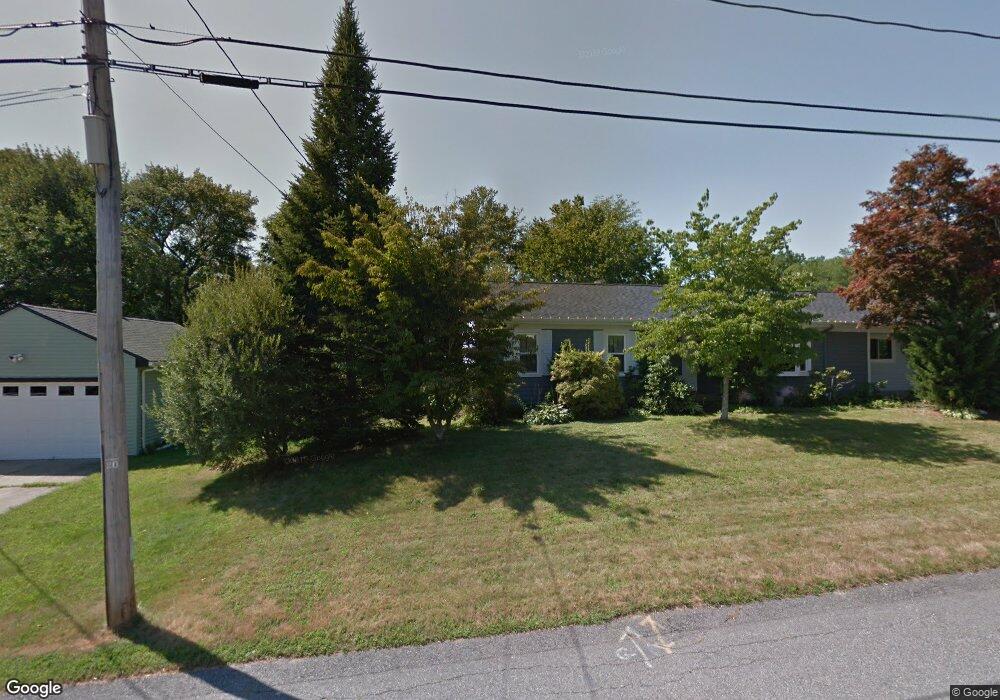
695 Mohawk Rd Somerset, MA 02726
Pottersville NeighborhoodEstimated Value: $644,904 - $797,000
4
Beds
3
Baths
2,808
Sq Ft
$260/Sq Ft
Est. Value
About This Home
This home is located at 695 Mohawk Rd, Somerset, MA 02726 and is currently estimated at $730,476, approximately $260 per square foot. 695 Mohawk Rd is a home located in Bristol County with nearby schools including North Elementary School, Somerset Middle School, and St. Michael's School.
Create a Home Valuation Report for This Property
The Home Valuation Report is an in-depth analysis detailing your home's value as well as a comparison with similar homes in the area
Home Values in the Area
Average Home Value in this Area
Tax History
| Year | Tax Paid | Tax Assessment Tax Assessment Total Assessment is a certain percentage of the fair market value that is determined by local assessors to be the total taxable value of land and additions on the property. | Land | Improvement |
|---|---|---|---|---|
| 2025 | $6,391 | $558,200 | $157,900 | $400,300 |
| 2024 | $6,016 | $523,600 | $151,900 | $371,700 |
| 2023 | $6,411 | $522,500 | $144,600 | $377,900 |
| 2022 | $5,680 | $450,100 | $133,900 | $316,200 |
| 2021 | $5,459 | $394,700 | $133,600 | $261,100 |
| 2020 | $5,066 | $350,600 | $126,300 | $224,300 |
| 2019 | $4,953 | $339,700 | $123,900 | $215,800 |
| 2018 | $4,855 | $332,100 | $123,900 | $208,200 |
| 2017 | $4,547 | $324,800 | $120,300 | $204,500 |
| 2016 | $4,285 | $314,400 | $120,300 | $194,100 |
| 2015 | $4,167 | $318,600 | $120,300 | $198,300 |
| 2014 | $4,008 | $318,600 | $120,300 | $198,300 |
Source: Public Records
Map
Nearby Homes
- 745 Bark St
- 69 Denham Ave
- 145 Mount Hope Rd
- 26 Massachusetts Ave
- 5 Nottingham Cir
- 65 Marvel St
- 171 Marvel St
- 107 Manchester Ave
- 46 Lilac Ave
- 0 Bark St Unit 1342599
- 0 Bark St Unit 73152576
- 54 Grant Ave
- 30 Tennyson Dr
- 2714 Riverside Ave
- 0 Palmer St
- 316 High Hill Rd
- 210 Harrison Ave
- 560 North St
- 33 Rhinecliffe Rd
- 4234 N Main St Unit 103
Your Personal Tour Guide
Ask me questions while you tour the home.