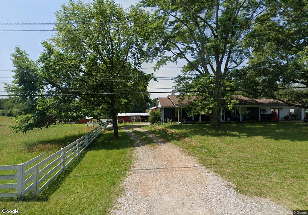
695 Old Stewart Rd Tennessee Ridge, TN 37178
Estimated Value: $216,000 - $316,000
--
Bed
2
Baths
1,300
Sq Ft
$197/Sq Ft
Est. Value
About This Home
This home is located at 695 Old Stewart Rd, Tennessee Ridge, TN 37178 and is currently estimated at $256,133, approximately $197 per square foot. 695 Old Stewart Rd is a home located in Houston County.
Ownership History
Date
Name
Owned For
Owner Type
Purchase Details
Closed on
Sep 15, 2003
Bought by
Paxton William R and Paxton Anita K
Current Estimated Value
Purchase Details
Closed on
Dec 2, 1996
Bought by
Paxton William R and Paxton Anita K
Purchase Details
Closed on
Jan 7, 1987
Bought by
Mayo Horton E and Mayo Maxine
Purchase Details
Closed on
Jul 7, 1980
Bought by
Mayohortton Mayohortton E and Mayohortton Maxine
Purchase Details
Closed on
Oct 27, 1976
Bought by
Mayo Horton E
Purchase Details
Closed on
Sep 19, 1970
Bought by
Mayo Horton E
Create a Home Valuation Report for This Property
The Home Valuation Report is an in-depth analysis detailing your home's value as well as a comparison with similar homes in the area
Home Values in the Area
Average Home Value in this Area
Purchase History
| Date | Buyer | Sale Price | Title Company |
|---|---|---|---|
| Paxton William R | -- | -- | |
| Paxton William R | $62,500 | -- | |
| Mayo Horton E | -- | -- | |
| Mayohortton Mayohortton E | -- | -- | |
| Mayo Horton E | -- | -- | |
| Mayo Horton E | -- | -- |
Source: Public Records
Tax History Compared to Growth
Tax History
| Year | Tax Paid | Tax Assessment Tax Assessment Total Assessment is a certain percentage of the fair market value that is determined by local assessors to be the total taxable value of land and additions on the property. | Land | Improvement |
|---|---|---|---|---|
| 2024 | -- | $60,725 | $3,500 | $57,225 |
| 2023 | $1,363 | $60,725 | $3,500 | $57,225 |
| 2022 | $1,297 | $36,300 | $2,400 | $33,900 |
| 2021 | $1,279 | $36,300 | $2,400 | $33,900 |
| 2020 | $1,297 | $36,300 | $2,400 | $33,900 |
| 2019 | $1,297 | $32,500 | $2,100 | $30,400 |
| 2018 | $1,281 | $32,500 | $2,100 | $30,400 |
| 2017 | $967 | $24,550 | $2,100 | $22,450 |
| 2016 | $967 | $24,550 | $2,100 | $22,450 |
| 2015 | $967 | $24,550 | $2,100 | $22,450 |
| 2014 | -- | $24,542 | $0 | $0 |
Source: Public Records
Map
Nearby Homes
- 0 Carl Taylor Rd
- 0 Taylor St Unit RTC2764411
- 0 Taylor St Unit RTC2764420
- 0 Taylor St Unit RTC2764418
- 0 Taylor St Unit RTC2764423
- 0 Taylor St Unit RTC2764415
- 110 Peachtree St
- 155 Rolling Hills Dr
- 745 Moore Hollow Rd
- 550 Lakeview Cir
- 0 Main St N Unit RTC2988796
- 0 Main St N Unit RTC3003416
- 0 Main St N Unit RTC2987692
- 0 Main St N Unit RTC2988794
- 0 Main St N Unit RTC2988130
- 0 Main St N Unit RTC2988128
- 0 Main St N Unit RTC2987687
- 0 Main St N Unit RTC2988129
- 0 Main St N Unit RTC2988126
- 0 Main St N Unit RTC2988125
- 735 Old Stewart Rd
- 690 Old Stewart Rd
- 615 Old Stewart Rd
- 620 Old Stewart Rd
- 766 Old Stewart Rd
- 50 Warden Ln
- 575 Old Stewart Rd
- 580 Old Stewart Rd
- 800 Old Stewart Rd
- 45 Warden Ln
- 68 Warden Ln
- 550 Old Stewart Rd
- 820 Old Stewart Rd
- 67 Warden Ln
- 840 Old Stewart Rd
- 536 Old Stewart Rd
- 860 Old Stewart Rd
- 870 Old Stewart Rd
- 500 Old Stewart Rd
- 901 Old Stewart Rd