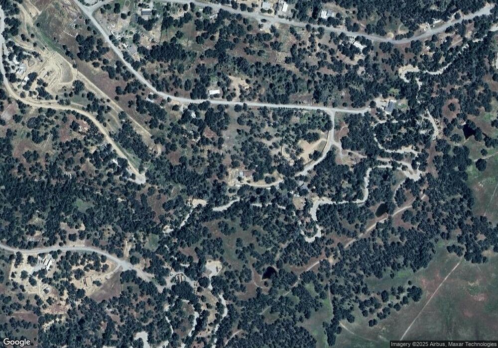
6955 Bobcat Ln Corning, CA 96021
Estimated Value: $53,600 - $128,000
2
Beds
2
Baths
1,680
Sq Ft
$54/Sq Ft
Est. Value
About This Home
This home is located at 6955 Bobcat Ln, Corning, CA 96021 and is currently estimated at $90,200, approximately $53 per square foot. 6955 Bobcat Ln is a home located in Tehama County with nearby schools including Rancho Tehama Elementary School, Maywood Middle School, and Corning High School.
Ownership History
Date
Name
Owned For
Owner Type
Purchase Details
Closed on
Nov 29, 2017
Sold by
Husome Lorna S
Bought by
Steele Diana L
Current Estimated Value
Purchase Details
Closed on
Aug 31, 2017
Sold by
Kilgore Dorothy V
Bought by
Steele Diana L
Purchase Details
Closed on
Aug 10, 2017
Sold by
Steele Robert G
Bought by
Steele Diana L
Purchase Details
Closed on
May 13, 2016
Sold by
Kilgore Dorothy V
Bought by
Husome Lorna S
Purchase Details
Closed on
Apr 8, 2016
Sold by
Kilgore Dorothy V
Bought by
Husome Lorna S
Create a Home Valuation Report for This Property
The Home Valuation Report is an in-depth analysis detailing your home's value as well as a comparison with similar homes in the area
Home Values in the Area
Average Home Value in this Area
Purchase History
| Date | Buyer | Sale Price | Title Company |
|---|---|---|---|
| Steele Diana L | -- | None Available | |
| Steele Diana L | $22,000 | None Available | |
| Steele Diana L | -- | None Available | |
| Husome Lorna S | -- | None Available | |
| Husome Lorna S | -- | None Available |
Source: Public Records
Tax History Compared to Growth
Tax History
| Year | Tax Paid | Tax Assessment Tax Assessment Total Assessment is a certain percentage of the fair market value that is determined by local assessors to be the total taxable value of land and additions on the property. | Land | Improvement |
|---|---|---|---|---|
| 2025 | $402 | $36,783 | $26,040 | $10,743 |
| 2023 | $394 | $35,357 | $25,030 | $10,327 |
| 2022 | $388 | $34,665 | $24,540 | $10,125 |
| 2021 | $374 | $33,986 | $24,059 | $9,927 |
| 2020 | $377 | $33,639 | $23,813 | $9,826 |
| 2019 | $362 | $32,981 | $23,347 | $9,634 |
| 2018 | $362 | $32,336 | $22,890 | $9,446 |
| 2017 | $359 | $31,703 | $22,442 | $9,261 |
| 2016 | $336 | $31,082 | $22,002 | $9,080 |
| 2015 | -- | $30,616 | $21,672 | $8,944 |
| 2014 | $327 | $30,017 | $21,248 | $8,769 |
Source: Public Records
Map
Nearby Homes
- 6960 Cougar Dr
- 17065 Fawn Ln
- 7095 Cougar Dr Unit Lot 630
- 7095 Cougar Dr
- 7126 Coyote Point
- 7030 Oxyoke Bend
- 7298 Chuckwagon Rd
- 17333 Wagonwheel Rd
- 17323 Wagon Wheel Dr
- 17164 Wagon Wheel Dr
- 16937 Stagecoach Rd
- 6875 Remunda Rd
- 7317 Surrey Place
- 17324 Wagonwheel Rd
- 17220 Hillcrest Dr Unit Lot 219
- 17220 Hillcrest Dr
- 17210 Hillcrest Dr
- 17310 Hillcrest Dr
- 16380 Hillcrest Dr Unit Lot 1104
- 16380 Hillcrest Dr
- 17115 Fawn Ln Unit Lot 445
- 6950 Bobcat Ln
- 6965 Bobcat Ln Unit Lot 441
- 441 Bob Cat Ln
- 6960 Cougar Dr Unit Lot 1133
- 0 Fawn Ln Unit 200801841
- 434 Fawn Ln
- 428 Fawn Ln
- 430 Fawn Ln
- 453 Fawn Ln
- 6970 Bobcat Ln
- 6980 Bobcat Ln
- 17062 Laramie Point Unit Lot 1403
- 17042 Laramie Point
- 17087 Laramie Point
- 17150 Fawn Ln
- 17002 Fawn Ln
- 17182 Muledeer Dr
- 17157 Muledeer Dr
- 17137 Muledeer Dr
