696 Adams Rd Oakham, MA 01068
Estimated Value: $437,000 - $483,000
4
Beds
2
Baths
1,615
Sq Ft
$285/Sq Ft
Est. Value
About This Home
This home is located at 696 Adams Rd, Oakham, MA 01068 and is currently estimated at $460,553, approximately $285 per square foot. 696 Adams Rd is a home located in Worcester County with nearby schools including Quabbin Regional Middle School and Quabbin Regional High School.
Ownership History
Date
Name
Owned For
Owner Type
Purchase Details
Closed on
Sep 28, 2022
Sold by
Pavolis Russell S
Bought by
R S Pavolis 2022 Irt
Current Estimated Value
Purchase Details
Closed on
Dec 5, 2003
Sold by
Markopoulos Nicholas K
Bought by
Pavolis Russell S
Home Financials for this Owner
Home Financials are based on the most recent Mortgage that was taken out on this home.
Original Mortgage
$116,500
Interest Rate
6.03%
Mortgage Type
Purchase Money Mortgage
Purchase Details
Closed on
Mar 31, 2003
Sold by
Ferguson Calvin W
Bought by
Markopoulos Nicholas K
Home Financials for this Owner
Home Financials are based on the most recent Mortgage that was taken out on this home.
Original Mortgage
$173,850
Interest Rate
5.91%
Mortgage Type
Purchase Money Mortgage
Purchase Details
Closed on
Oct 21, 1992
Sold by
Ferguson Donna M
Bought by
Ferguson Calvin W
Create a Home Valuation Report for This Property
The Home Valuation Report is an in-depth analysis detailing your home's value as well as a comparison with similar homes in the area
Home Values in the Area
Average Home Value in this Area
Purchase History
| Date | Buyer | Sale Price | Title Company |
|---|---|---|---|
| R S Pavolis 2022 Irt | -- | None Available | |
| Pavolis Russell S | $226,500 | -- | |
| Markopoulos Nicholas K | $182,600 | -- | |
| Ferguson Calvin W | $20,000 | -- |
Source: Public Records
Mortgage History
| Date | Status | Borrower | Loan Amount |
|---|---|---|---|
| Previous Owner | Ferguson Calvin W | $102,200 | |
| Previous Owner | Pavolis Russell S | $116,500 | |
| Previous Owner | Ferguson Calvin W | $173,850 | |
| Previous Owner | Ferguson Calvin W | $59,500 |
Source: Public Records
Tax History Compared to Growth
Tax History
| Year | Tax Paid | Tax Assessment Tax Assessment Total Assessment is a certain percentage of the fair market value that is determined by local assessors to be the total taxable value of land and additions on the property. | Land | Improvement |
|---|---|---|---|---|
| 2025 | $4,051 | $350,700 | $140,100 | $210,600 |
| 2024 | $3,820 | $344,800 | $137,400 | $207,400 |
| 2023 | $3,547 | $306,600 | $120,500 | $186,100 |
| 2022 | $3,574 | $281,000 | $104,800 | $176,200 |
| 2021 | $3,450 | $265,000 | $101,700 | $163,300 |
| 2020 | $3,282 | $242,200 | $98,400 | $143,800 |
| 2019 | $3,378 | $232,800 | $92,400 | $140,400 |
| 2018 | $3,248 | $213,700 | $80,300 | $133,400 |
| 2017 | $3,045 | $213,700 | $80,300 | $133,400 |
| 2016 | $2,927 | $210,600 | $77,200 | $133,400 |
| 2015 | $2,881 | $210,600 | $77,200 | $133,400 |
| 2014 | $2,729 | $210,600 | $77,200 | $133,400 |
Source: Public Records
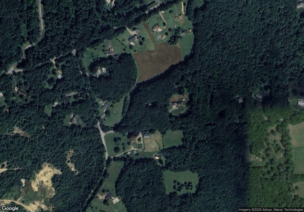
Map
Nearby Homes
- 664 Adams Rd
- 695 Adams Rd
- 81 Scott Rd
- 1683 Old Turnpike Rd
- 41 Scott Rd
- 1651 Old Turnpike Rd
- 1625 Old Turnpike Rd
- 66 Scott Rd
- 42 Scott Rd
- 1601 Old Turnpike Rd
- 604 Adams Rd
- 11 Scott Rd
- 6 Scott Rd
- 0 Scott Road (Lot 6) Unit 72986124
- 1721 Old Turnpike Rd
- 143 Scott Rd
- 573 Adams Rd
- 582 Adams Rd
- 1618 Old Turnpike Rd
- 1608 Old Turnpike Rd