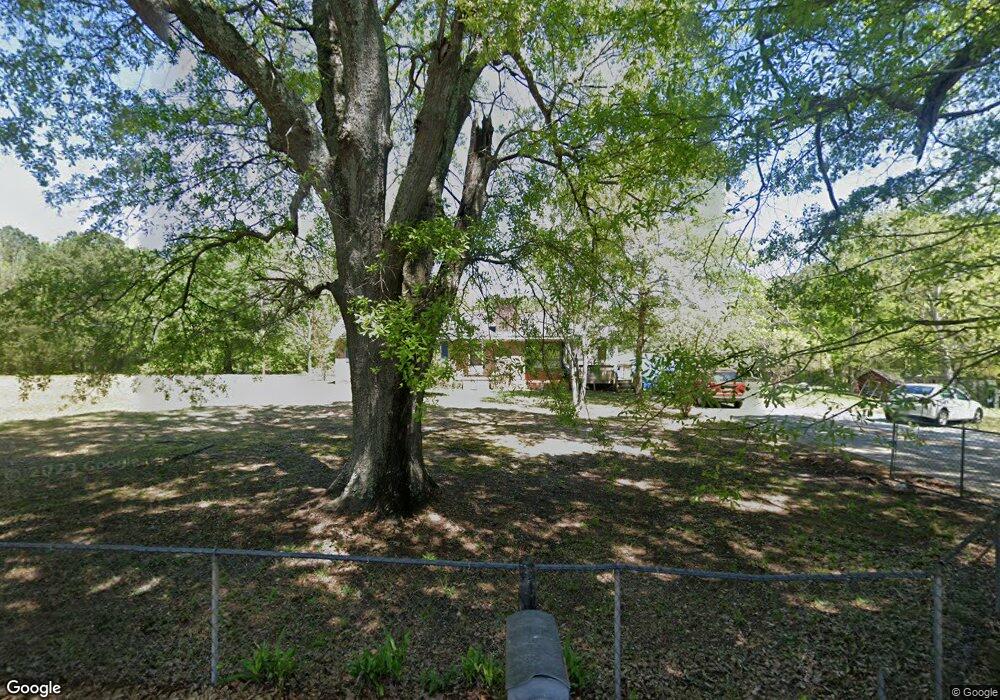
696 Cannafax Rd Barnesville, GA 30204
Estimated Value: $182,701 - $310,000
3
Beds
1
Bath
1,560
Sq Ft
$163/Sq Ft
Est. Value
About This Home
This home is located at 696 Cannafax Rd, Barnesville, GA 30204 and is currently estimated at $254,925, approximately $163 per square foot. 696 Cannafax Rd is a home located in Lamar County with nearby schools including Lamar County Primary School, Lamar County Elementary School, and Lamar County Middle School.
Ownership History
Date
Name
Owned For
Owner Type
Purchase Details
Closed on
Nov 10, 2016
Sold by
Connie M
Bought by
Kilchriss David A
Current Estimated Value
Purchase Details
Closed on
Sep 9, 2013
Sold by
Kilchriss Doris B
Bought by
Helms Susan Carol Milner and Davis Connie Marie Turner
Purchase Details
Closed on
Jul 1, 1976
Sold by
Kilchriss David
Bought by
Kilchriss Doris B
Create a Home Valuation Report for This Property
The Home Valuation Report is an in-depth analysis detailing your home's value as well as a comparison with similar homes in the area
Purchase History
| Date | Buyer | Sale Price | Title Company |
|---|---|---|---|
| Kilchriss David A | -- | -- | |
| Milner Susan K | -- | -- | |
| Davis Connie M | -- | -- | |
| Helms Susan Carol Milner | -- | -- | |
| Kilchriss Doris B | -- | -- |
Source: Public Records
Tax History
| Year | Tax Paid | Tax Assessment Tax Assessment Total Assessment is a certain percentage of the fair market value that is determined by local assessors to be the total taxable value of land and additions on the property. | Land | Improvement |
|---|---|---|---|---|
| 2025 | $1,166 | $48,101 | $7,491 | $40,610 |
| 2024 | $1,027 | $40,111 | $7,491 | $32,620 |
| 2023 | $1,071 | $38,813 | $7,491 | $31,322 |
| 2022 | $1,439 | $52,120 | $3,680 | $48,440 |
| 2021 | $861 | $28,645 | $3,680 | $24,965 |
| 2020 | $907 | $28,645 | $3,680 | $24,965 |
| 2019 | $909 | $28,645 | $3,680 | $24,965 |
| 2018 | $873 | $28,645 | $3,680 | $24,965 |
| 2017 | $868 | $28,645 | $3,680 | $24,965 |
| 2016 | $1,200 | $53,411 | $28,446 | $24,965 |
| 2015 | $1,197 | $53,410 | $28,446 | $24,965 |
| 2014 | $1,165 | $53,410 | $28,446 | $24,965 |
| 2013 | -- | $53,410 | $28,445 | $24,964 |
Source: Public Records
Map
Nearby Homes
- 111 Needleleaf Ct
- 818 Cannafax Rd
- 255 Needleleaf Dr
- 146 Berry Rd Unit LOT 12B
- 148 Berry Rd Unit LOT 12A
- 144 Berry Rd Unit LOT 13
- 150 Berry Rd
- 0 Perkins Rd Unit 253616
- 0 Perkins Rd Unit 10699928
- 0 Perkins Rd Unit 10625263
- 0 Perkins Rd Unit 7692755
- 916 Highway 36 W
- 746 Highway 18 W
- 475 Piedmont Rd
- 696 Georgia 18
- 270 Cannafax Rd
- 109 Barnesville Ave
- 0 Veterns Pkwy Unit 10515268
- 13 Brown St
- 178 Barnesville Ave
- 683 Cannafax Rd
- 707 Cannafax Rd
- 678 Cannafax Rd
- 714 Cannafax Rd
- 700 Cannafax Rd
- 693 Cannafax Rd
- 722 Cannafax Rd
- 100 Warner Rd
- 0 Rogers Cir Unit 8351983
- 0 Rogers Cir Unit 8632817
- 0 Rogers Cir Unit 8626492
- 654 Cannafax Rd
- 110 Rogers Cir
- 733 Cannafax Rd
- 118 Warner Rd
- 273 Rogers Cir Unit 19
- 273 Rogers Cir
- 744 Cannafax Rd
- 262 Rogers Cir
- 8 LOTS Cole Forest Subd Needleleaf Subd Unit MULTIPLE LOTS (8)
Your Personal Tour Guide
Ask me questions while you tour the home.