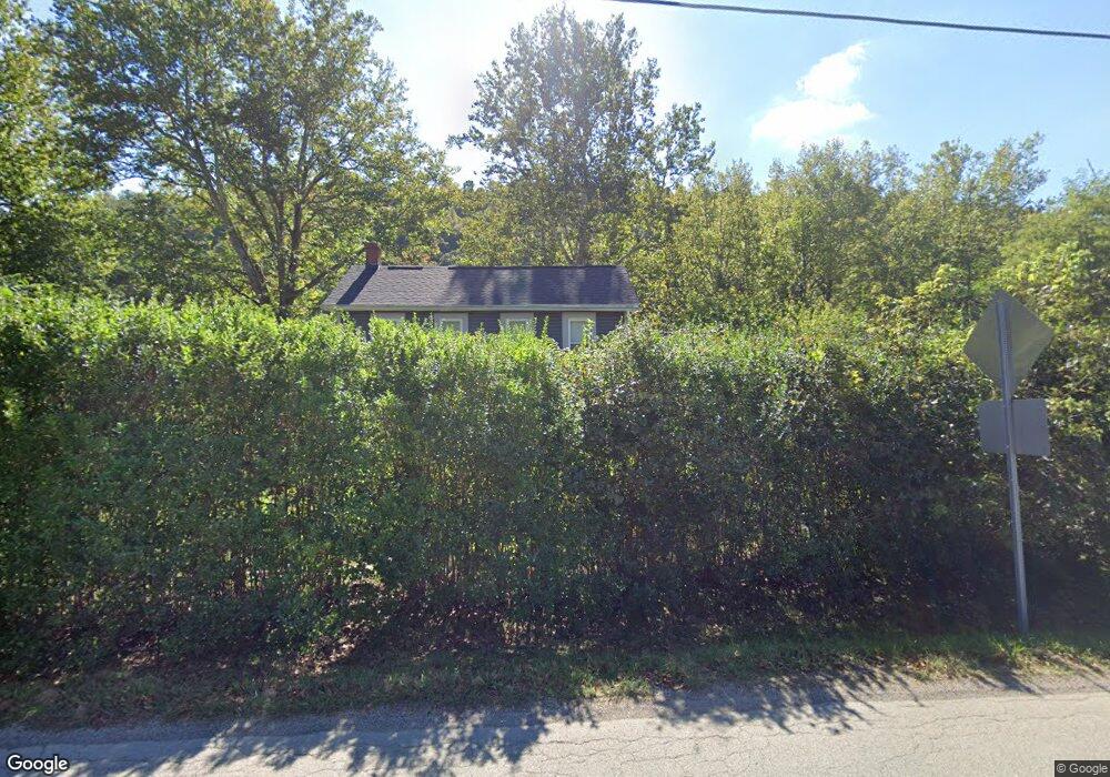
696 Layton Rd Perryopolis, PA 15473
Estimated Value: $84,000 - $208,000
3
Beds
1
Bath
1,580
Sq Ft
$98/Sq Ft
Est. Value
About This Home
This home is located at 696 Layton Rd, Perryopolis, PA 15473 and is currently estimated at $155,333, approximately $98 per square foot. 696 Layton Rd is a home located in Fayette County with nearby schools including Frazier High School.
Ownership History
Date
Name
Owned For
Owner Type
Purchase Details
Closed on
Mar 27, 2025
Sold by
Petrosky Michael
Bought by
Department Of Transportation
Current Estimated Value
Purchase Details
Closed on
Sep 14, 2012
Sold by
Fowler Linda K
Bought by
Hasch Donald R and Romanshan Stephanie
Home Financials for this Owner
Home Financials are based on the most recent Mortgage that was taken out on this home.
Original Mortgage
$50,000
Interest Rate
3.59%
Mortgage Type
Purchase Money Mortgage
Create a Home Valuation Report for This Property
The Home Valuation Report is an in-depth analysis detailing your home's value as well as a comparison with similar homes in the area
Home Values in the Area
Average Home Value in this Area
Purchase History
| Date | Buyer | Sale Price | Title Company |
|---|---|---|---|
| Department Of Transportation | -- | None Listed On Document | |
| Department Of Transportation | -- | None Listed On Document | |
| Hasch Donald R | $50,000 | None Available |
Source: Public Records
Mortgage History
| Date | Status | Borrower | Loan Amount |
|---|---|---|---|
| Previous Owner | Hasch Donald R | $50,000 |
Source: Public Records
Tax History
| Year | Tax Paid | Tax Assessment Tax Assessment Total Assessment is a certain percentage of the fair market value that is determined by local assessors to be the total taxable value of land and additions on the property. | Land | Improvement |
|---|---|---|---|---|
| 2025 | $470 | $14,570 | $4,920 | $9,650 |
| 2024 | $446 | $14,570 | $4,920 | $9,650 |
| 2023 | $265 | $14,570 | $4,920 | $9,650 |
| 2022 | $265 | $14,570 | $4,920 | $9,650 |
| 2021 | $814 | $14,570 | $4,920 | $9,650 |
| 2020 | $793 | $14,570 | $4,920 | $9,650 |
| 2019 | $739 | $14,570 | $4,920 | $9,650 |
| 2018 | $721 | $14,570 | $4,920 | $9,650 |
| 2017 | $698 | $14,570 | $4,920 | $9,650 |
| 2016 | -- | $14,570 | $4,920 | $9,650 |
| 2015 | -- | $14,570 | $4,920 | $9,650 |
| 2014 | -- | $29,140 | $9,840 | $19,300 |
Source: Public Records
Map
Nearby Homes
- 0 E Constitution St
- 304 Liberty St
- 104 King St
- 208 Independence St
- 109 Delafayette St
- 111 Strickler St
- 1760 Banning Rd
- 64 Memorial Dr
- 166 Barneys Rd
- 221 Ferguson Ln
- 266 Lucky Ln
- 145 Grant St
- 5 1st St
- 133 Cemetery Rd
- 65 Sandrock Rd
- 93 Old 51 Rd
- 102 Turnbull Ln
- 326 Riverside Dr
- 4022 Pittsburgh Rd
- 111 Van Meter Rd
Your Personal Tour Guide
Ask me questions while you tour the home.