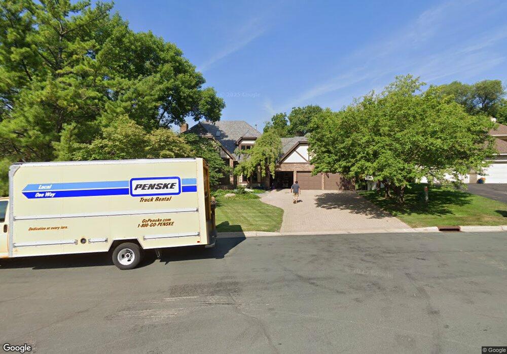
6963 Kenmare Dr Bloomington, MN 55438
West Bloomington NeighborhoodEstimated Value: $875,584 - $983,000
4
Beds
4
Baths
1,972
Sq Ft
$481/Sq Ft
Est. Value
About This Home
This home is located at 6963 Kenmare Dr, Bloomington, MN 55438 and is currently estimated at $947,646, approximately $480 per square foot. 6963 Kenmare Dr is a home located in Hennepin County with nearby schools including Olson Elementary School, Olson Middle School, and Jefferson Senior High School.
Ownership History
Date
Name
Owned For
Owner Type
Purchase Details
Closed on
Jun 1, 2020
Sold by
Garcia Gerald and Garcia Donna
Bought by
Scherman Joseph and Scherman Anne
Current Estimated Value
Home Financials for this Owner
Home Financials are based on the most recent Mortgage that was taken out on this home.
Original Mortgage
$686,000
Outstanding Balance
$606,242
Interest Rate
3.5%
Mortgage Type
New Conventional
Estimated Equity
$341,404
Purchase Details
Closed on
May 24, 2018
Sold by
Eiftmann Mary Ann and Eiftmann Joel A
Bought by
Garcia Gerald and Garcia Donna
Home Financials for this Owner
Home Financials are based on the most recent Mortgage that was taken out on this home.
Original Mortgage
$540,000
Interest Rate
4.5%
Mortgage Type
New Conventional
Create a Home Valuation Report for This Property
The Home Valuation Report is an in-depth analysis detailing your home's value as well as a comparison with similar homes in the area
Home Values in the Area
Average Home Value in this Area
Purchase History
| Date | Buyer | Sale Price | Title Company |
|---|---|---|---|
| Scherman Joseph | $686,000 | Minnesota Title | |
| Garcia Gerald | $675,000 | None Available |
Source: Public Records
Mortgage History
| Date | Status | Borrower | Loan Amount |
|---|---|---|---|
| Open | Scherman Joseph | $686,000 | |
| Previous Owner | Garcia Gerald | $540,000 |
Source: Public Records
Tax History
| Year | Tax Paid | Tax Assessment Tax Assessment Total Assessment is a certain percentage of the fair market value that is determined by local assessors to be the total taxable value of land and additions on the property. | Land | Improvement |
|---|---|---|---|---|
| 2024 | $11,533 | $821,100 | $235,800 | $585,300 |
| 2023 | $11,062 | $846,400 | $291,800 | $554,600 |
| 2022 | $9,373 | $849,000 | $295,900 | $553,100 |
| 2021 | $9,091 | $690,600 | $300,500 | $390,100 |
| 2020 | $9,357 | $678,800 | $292,100 | $386,700 |
| 2019 | $9,264 | $679,300 | $292,100 | $387,200 |
| 2018 | $9,916 | $662,500 | $308,400 | $354,100 |
| 2017 | $11,395 | $778,800 | $353,000 | $425,800 |
| 2016 | $11,415 | $742,600 | $342,600 | $400,000 |
| 2015 | $11,403 | $716,500 | $324,000 | $392,500 |
| 2014 | -- | $703,600 | $333,700 | $369,900 |
Source: Public Records
Map
Nearby Homes
- 6958 Kenmare Dr
- 7041 Kenmare Dr
- 7062 W 113th St Unit 1
- 11159 Sumter Ave S
- 10935 Oregon Ave S
- 6100 Auto Club Rd Unit 211
- 7555 W 110th St
- 10905 Rhode Island Ave S
- 7229 Woodstock Curve Unit 6
- 7404 Landau Dr
- 7401 Landau Dr Unit 12
- 5500 River Bluff Curve
- 7500 Landau Dr
- 11313 Xavier Rd
- 7616 Landau Dr
- 11339 Vessey Cir
- 11208 Vessey Cir
- 10512 Quebec Rd
- 10727 Braewood Cir
- 10421 Quebec Ave S
- 6969 Kenmare Dr
- 6951 Kenmare Dr
- 6975 Kenmare Dr
- 6950 Kenmare Dr
- 6954 Kenmare Dr
- 6981 Kenmare Dr
- 6962 Kenmare Dr
- 6987 Kenmare Dr
- 7180 Kenmare Dr
- 6966 Kenmare Dr
- 7170 Kenmare Dr
- 6999 Kenmare Dr
- 6970 Kenmare Dr
- 6982 Kenmare Dr
- 6976 Kenmare Dr
- 6988 Kenmare Dr
- 6992 Kenmare Dr
- 7160 Kenmare Dr
- 7001 Kenmare Dr
- 6901 Auto Club Rd
Your Personal Tour Guide
Ask me questions while you tour the home.