Estimated Value: $1,214,000 - $1,227,915
7
Beds
3
Baths
11,932
Sq Ft
$102/Sq Ft
Est. Value
About This Home
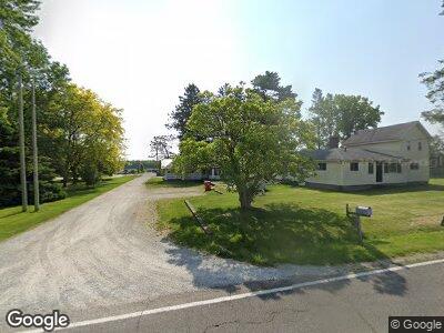
This home is located at 69665 Kessington Rd, Union, MI 49130 and is currently estimated at $1,220,958, approximately $102 per square foot. 69665 Kessington Rd is a home located in Cass County with nearby schools including Eastside Elementary School, Riverside Elementary School, and Constantine Middle School.
Ownership History
Date
Name
Owned For
Owner Type
Purchase Details
Closed on
Feb 10, 2011
Sold by
Begley Leslie Ray
Bought by
Begley Leslie Ray and Begley Kendra L
Current Estimated Value
Purchase Details
Closed on
Jan 18, 2011
Sold by
Us Bank National Association
Bought by
Begley Leslie Ray
Purchase Details
Closed on
Sep 23, 2009
Sold by
Kopf Ken
Bought by
Us Bank National Association
Create a Home Valuation Report for This Property
The Home Valuation Report is an in-depth analysis detailing your home's value as well as a comparison with similar homes in the area
Home Values in the Area
Average Home Value in this Area
Purchase History
| Date | Buyer | Sale Price | Title Company |
|---|---|---|---|
| Begley Leslie Ray | -- | Attorneys Title Agency Llc | |
| Begley Leslie Ray | $436,000 | Attorneys Title Agency Llc | |
| Us Bank National Association | $884,720 | None Available |
Source: Public Records
Mortgage History
| Date | Status | Borrower | Loan Amount |
|---|---|---|---|
| Previous Owner | Kopf Ken | $820,000 |
Source: Public Records
Tax History Compared to Growth
Tax History
| Year | Tax Paid | Tax Assessment Tax Assessment Total Assessment is a certain percentage of the fair market value that is determined by local assessors to be the total taxable value of land and additions on the property. | Land | Improvement |
|---|---|---|---|---|
| 2024 | $3,739 | $682,100 | $682,100 | $0 |
| 2023 | $3,566 | $557,400 | $0 | $0 |
| 2022 | $3,396 | $529,200 | $0 | $0 |
| 2021 | $9,140 | $530,100 | $0 | $0 |
| 2020 | $9,036 | $503,200 | $0 | $0 |
| 2019 | $8,706 | $510,300 | $0 | $0 |
| 2018 | $3,127 | $329,900 | $0 | $0 |
| 2017 | $3,062 | $319,900 | $0 | $0 |
| 2016 | $3,035 | $303,900 | $0 | $0 |
| 2015 | -- | $281,700 | $0 | $0 |
| 2011 | -- | $467,000 | $0 | $0 |
Source: Public Records
Map
Nearby Homes
- 17181 U S 12
- 15534 Mason St
- 0 State Line Rd
- 69743 Calvin Center Rd
- 8 M217
- 16944 U S 12
- 68363 Calvin Center Rd
- 69630 Vera Dr
- 51081 County Road 19
- 71285 5 Points Rd
- 24421 Sandpiper Ln
- 71406 Sophie Rd
- 0 Ilean Rd Unit 24028716
- 71422 Sophie Rd
- 0 Embassy Rd Unit 24028731
- 0 Embassy Rd Unit 24028726
- 0 Embassy Rd Unit 24028725
- 0 Embassy Rd Unit 24028721
- 0 Embassy Rd Unit 24028719
- 17337 Calvin Hill St