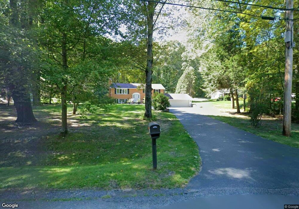
697 Florence Rd Florence, MA 01062
Florence NeighborhoodEstimated Value: $569,000 - $622,000
3
Beds
3
Baths
1,336
Sq Ft
$442/Sq Ft
Est. Value
About This Home
This home is located at 697 Florence Rd, Florence, MA 01062 and is currently estimated at $589,880, approximately $441 per square foot. 697 Florence Rd is a home located in Hampshire County with nearby schools including Northampton High School, Hilltown Cooperative Charter Public School, and Campus School of Smith College.
Ownership History
Date
Name
Owned For
Owner Type
Purchase Details
Closed on
Aug 18, 2025
Sold by
Didonna Irt and Martindell
Bought by
Didonna Linda M
Current Estimated Value
Purchase Details
Closed on
Oct 11, 2024
Sold by
Didonna Linda M
Bought by
Didonna Irt and Didonna
Purchase Details
Closed on
Nov 3, 2022
Sold by
Didonna Paul J and Didonna Linda M
Bought by
Didonna Linda M
Create a Home Valuation Report for This Property
The Home Valuation Report is an in-depth analysis detailing your home's value as well as a comparison with similar homes in the area
Home Values in the Area
Average Home Value in this Area
Purchase History
| Date | Buyer | Sale Price | Title Company |
|---|---|---|---|
| Didonna Linda M | -- | -- | |
| Didonna Linda M | -- | -- | |
| Didonna Irt | -- | None Available | |
| Didonna Irt | -- | None Available | |
| Didonna Irt | -- | None Available | |
| Didonna Linda M | -- | None Available | |
| Didonna Linda M | -- | None Available | |
| Didonna Linda M | -- | None Available |
Source: Public Records
Tax History Compared to Growth
Tax History
| Year | Tax Paid | Tax Assessment Tax Assessment Total Assessment is a certain percentage of the fair market value that is determined by local assessors to be the total taxable value of land and additions on the property. | Land | Improvement |
|---|---|---|---|---|
| 2025 | $7,812 | $560,800 | $103,300 | $457,500 |
| 2024 | $7,161 | $471,400 | $99,100 | $372,300 |
| 2023 | $6,170 | $389,500 | $89,600 | $299,900 |
| 2022 | $5,839 | $326,400 | $84,500 | $241,900 |
| 2021 | $5,355 | $308,300 | $81,000 | $227,300 |
| 2020 | $5,179 | $308,300 | $81,000 | $227,300 |
| 2019 | $5,225 | $300,800 | $83,600 | $217,200 |
| 2018 | $5,124 | $300,700 | $83,600 | $217,100 |
| 2017 | $5,019 | $300,700 | $83,600 | $217,100 |
| 2016 | $4,859 | $300,700 | $83,600 | $217,100 |
| 2015 | $5,244 | $331,900 | $98,900 | $233,000 |
| 2014 | $5,108 | $331,900 | $98,900 | $233,000 |
Source: Public Records
Map
Nearby Homes
- 723 Florence Rd
- 167 Emerson Way
- 137 Emerson Way
- 100 Emerson Way
- 815 Burts Pit Rd
- 95 Autumn Dr
- 138 Overlook Dr
- 321 Riverside Dr
- 325 Riverside Dr
- 11 Norwood Ave
- 269 Ryan Rd
- 8 Tara Cir
- 48 Chapel St Unit A
- 39 Matthew Dr
- 36 Landy Ave
- 37 Landy Ave
- 225 Nonotuck St Unit C
- 63 Riverside Dr
- 7 Pine Valley Rd
- 49 Kensington Ave
- 687 Florence Rd
- 705 Florence Rd
- 696 Florence Rd
- 669 Florence Rd
- 709 Florence Rd
- 14 Black Birch Trail
- 717 Florence Rd
- 661 Florence Rd
- 660 Florence Rd
- 660 Florence Rd
- 20 Black Birch Trail
- Lot 7 Florence Rd
- 651 Florence Rd
- 26 Black Birch Trail
- 731 Florence Rd
- 221 Emerson Way
- 643 Florence Rd
- 32 Black Birch Trail
- 739 Florence Rd
- 38 Black Birch Trail