Estimated Value: $1,676,000
--
Bed
4
Baths
16,500
Sq Ft
$102/Sq Ft
Est. Value
About This Home
This home is located at 697 Industrial Park Rd, Evans, GA 30809 and is currently priced at $1,676,000, approximately $101 per square foot. 697 Industrial Park Rd is a home located in Columbia County with nearby schools including Northmore Elementary School, River Ridge Elementary School, and Laurel Ridge Elementary School.
Ownership History
Date
Name
Owned For
Owner Type
Purchase Details
Closed on
Jul 9, 2025
Sold by
Mcdaniels Pennie M
Bought by
Mcdaniels Rodney C
Current Estimated Value
Purchase Details
Closed on
Jan 21, 2004
Sold by
Kuhlke Properties Llc
Bought by
Mcdaniels Rodney C and Mcdaniels Penny M
Home Financials for this Owner
Home Financials are based on the most recent Mortgage that was taken out on this home.
Original Mortgage
$680,000
Interest Rate
5.77%
Mortgage Type
Unknown
Create a Home Valuation Report for This Property
The Home Valuation Report is an in-depth analysis detailing your home's value as well as a comparison with similar homes in the area
Home Values in the Area
Average Home Value in this Area
Purchase History
| Date | Buyer | Sale Price | Title Company |
|---|---|---|---|
| Mcdaniels Rodney C | -- | -- | |
| Mcdaniels Rodney C | $104,000 | -- |
Source: Public Records
Mortgage History
| Date | Status | Borrower | Loan Amount |
|---|---|---|---|
| Previous Owner | Mcdaniels Rodney C | $680,000 |
Source: Public Records
Tax History Compared to Growth
Tax History
| Year | Tax Paid | Tax Assessment Tax Assessment Total Assessment is a certain percentage of the fair market value that is determined by local assessors to be the total taxable value of land and additions on the property. | Land | Improvement |
|---|---|---|---|---|
| 2025 | $12,820 | $537,849 | $82,766 | $455,083 |
| 2024 | $13,431 | $537,849 | $74,570 | $463,279 |
| 2023 | $13,431 | $399,868 | $74,570 | $325,298 |
| 2022 | $10,382 | $399,797 | $74,570 | $325,227 |
| 2021 | $9,127 | $335,909 | $74,570 | $261,339 |
| 2020 | $8,775 | $316,264 | $74,570 | $241,694 |
| 2019 | $8,577 | $309,116 | $74,570 | $234,546 |
| 2018 | $8,751 | $314,352 | $66,374 | $247,978 |
| 2017 | $9,284 | $332,320 | $66,374 | $265,946 |
| 2016 | $9,122 | $338,657 | $66,350 | $272,307 |
| 2015 | $9,259 | $343,078 | $66,350 | $276,728 |
| 2014 | $9,520 | $348,386 | $66,350 | $282,036 |
Source: Public Records
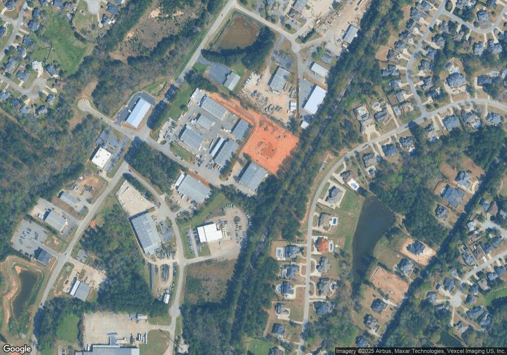
Map
Nearby Homes
- 612 Emerald Crossing
- 628 Emerald Crossing
- 1013 Emerald Place
- 644 Emerald Crossing
- 4305 Southern Pines Dr
- 1062 Emerald Place
- 839 Prairie Ln
- 303 N Sandhills Ln
- 322 Sandhills Ln
- 701 Fosters Ct
- 4172 Tindall Dr
- 787 Springbrook Cir
- 4277 Deerwood Ln
- 936 Deercrest Cir
- 812 Cape Cod Ct
- 516 McKinnes Park
- 819 Cape Cod Ct
- 00 N Belair Rd
- 854 Sparkleberry Rd
- 579 Litchfield Ct
- 623 Emerald Crossing
- 697 Commerce Ct
- 620 Emerald Crossing
- 618 Emerald Crossing
- 625 Emerald Crossing
- 622 Emerald Crossing
- 616 Emerald Crossing
- 717 Industrial Park Dr
- 627 Emerald Crossing
- 5103 Pierce Ct
- 692 Commerce Ct
- 624 Emerald Crossing
- 629 Emerald Crossing
- 626 Emerald Crossing
- 613 Emerald Crossing
- 3001 Mccrary Ct Unit 3
- 3001 Mccrary Ct
- 610 Emerald Crossing
- 631 Emerald Crossing
- 615 Emerald Crossing