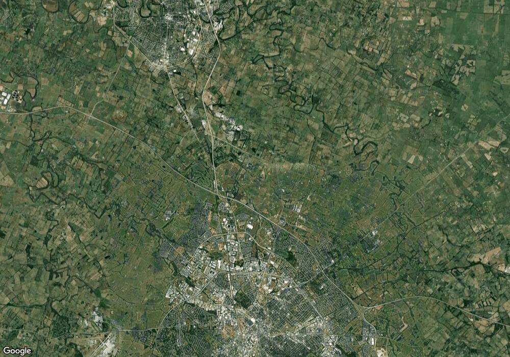
697 Kenova Way Lexington, KY 40511
Masterson Station NeighborhoodEstimated Value: $297,282 - $319,000
3
Beds
2
Baths
1,464
Sq Ft
$209/Sq Ft
Est. Value
About This Home
This home is located at 697 Kenova Way, Lexington, KY 40511 and is currently estimated at $305,571, approximately $208 per square foot. 697 Kenova Way is a home located in Fayette County with nearby schools including Sandersville Elementary School, Leestown Middle School, and Bryan Station High School.
Ownership History
Date
Name
Owned For
Owner Type
Purchase Details
Closed on
Apr 30, 2021
Sold by
Callis Brittany and Callis William Jacob
Bought by
O'Keefe Teresa O
Current Estimated Value
Purchase Details
Closed on
Sep 18, 2015
Sold by
Stephens Derek S
Bought by
Callis William Jacob and Callis Brittany C
Home Financials for this Owner
Home Financials are based on the most recent Mortgage that was taken out on this home.
Original Mortgage
$122,320
Interest Rate
3.94%
Mortgage Type
Unknown
Purchase Details
Closed on
Sep 2, 2009
Sold by
White Mary
Bought by
Stephens Derek S
Home Financials for this Owner
Home Financials are based on the most recent Mortgage that was taken out on this home.
Original Mortgage
$138,446
Interest Rate
5.14%
Mortgage Type
Unknown
Create a Home Valuation Report for This Property
The Home Valuation Report is an in-depth analysis detailing your home's value as well as a comparison with similar homes in the area
Home Values in the Area
Average Home Value in this Area
Purchase History
| Date | Buyer | Sale Price | Title Company |
|---|---|---|---|
| O'Keefe Teresa O | $205,000 | -- | |
| Callis William Jacob | $152,900 | -- | |
| Stephens Derek S | $141,000 | -- |
Source: Public Records
Mortgage History
| Date | Status | Borrower | Loan Amount |
|---|---|---|---|
| Previous Owner | Stephens Derek S | $122,320 | |
| Previous Owner | Stephens Derek S | $138,446 |
Source: Public Records
Tax History Compared to Growth
Tax History
| Year | Tax Paid | Tax Assessment Tax Assessment Total Assessment is a certain percentage of the fair market value that is determined by local assessors to be the total taxable value of land and additions on the property. | Land | Improvement |
|---|---|---|---|---|
| 2024 | $2,535 | $205,000 | $0 | $0 |
| 2023 | $2,535 | $205,000 | $0 | $0 |
| 2022 | $2,619 | $205,000 | $0 | $0 |
| 2021 | $2,101 | $164,500 | $0 | $0 |
| 2020 | $2,101 | $164,500 | $0 | $0 |
| 2019 | $2,101 | $164,500 | $0 | $0 |
| 2018 | $2,101 | $164,500 | $0 | $0 |
| 2017 | $1,861 | $152,900 | $0 | $0 |
| 2015 | $1,578 | $141,000 | $0 | $0 |
| 2014 | $1,578 | $141,000 | $0 | $0 |
| 2012 | $1,578 | $141,000 | $0 | $0 |
Source: Public Records
Map
Nearby Homes
- 624 Kenova Trace
- 601 Hopewell Park
- 559 Estrella Dr
- 1205 Colter Pass
- 637 Skyview Ln
- 2805 Morsen Point
- 2336 Merluna Dr
- 693 Cielo Vista Rd
- 2304 Merluna Dr
- 2766 Sandersville Rd
- 2714 Rockaway Place
- 821 Halford Place
- 2665 Wigginton Point
- 776 Halford Place
- 2720 Mission Hills Dr
- 2625 Mable Ln
- 2988 Sandersville Rd
- 349 Silver Creek Way
- 685 Dahlia Dr
- 824 Halford Place
- 697 Kenova Trace
- 693 Kenova Trace
- 705 Kenova Trace
- 605 Havana Ct
- 689 Kenova Trace
- 709 Kenova Trace
- 609 Havana Ct
- 683 Kenova Trace
- 601 Havana Ct
- 704 Kenova Trace
- 700 Kenova Trace
- 708 Kenova Trace
- 681 Kenova Trace
- 613 Havana Ct
- 713 Kenova Trace
- 677 Kenova Trace
- 712 Kenova Trace
- 673 Kenova Trace
- 716 Kenova Trace
- 617 Havana Ct
