697 Patrick Mill Rd SW Winder, GA 30680
Estimated Value: $384,000 - $983,915
Studio
--
Bath
--
Sq Ft
2,864,941
Sq Ft Lot
About This Home
This home is located at 697 Patrick Mill Rd SW, Winder, GA 30680 and is currently estimated at $683,958. 697 Patrick Mill Rd SW is a home located in Barrow County with nearby schools including Yargo Elementary School, Haymon-Morris Middle School, and Apalachee High School.
Ownership History
Date
Name
Owned For
Owner Type
Purchase Details
Closed on
Dec 14, 2020
Sold by
Winder Ga Land Llc
Bought by
Greenrock Conservation Llc
Current Estimated Value
Purchase Details
Closed on
Nov 7, 2014
Sold by
Ohayon Robert
Bought by
Winder Ga Land Llc and C/O Cortland Partners Llc
Purchase Details
Closed on
Jul 23, 2009
Sold by
Rutledge Lakes Llc
Bought by
Ohayon Robert
Purchase Details
Closed on
Jul 5, 2007
Sold by
Rutledge Lakes Llc And Mulliga
Bought by
Rutledge Lakes Llc
Create a Home Valuation Report for This Property
The Home Valuation Report is an in-depth analysis detailing your home's value as well as a comparison with similar homes in the area
Home Values in the Area
Average Home Value in this Area
Purchase History
| Date | Buyer | Sale Price | Title Company |
|---|---|---|---|
| Greenrock Conservation Llc | $645,585 | -- | |
| Winder Ga Land Llc | $1,750,000 | -- | |
| Ohayon Robert | -- | -- | |
| Rutledge Lakes Llc | -- | -- |
Source: Public Records
Tax History
| Year | Tax Paid | Tax Assessment Tax Assessment Total Assessment is a certain percentage of the fair market value that is determined by local assessors to be the total taxable value of land and additions on the property. | Land | Improvement |
|---|---|---|---|---|
| 2025 | $5,452 | $227,986 | $227,986 | $0 |
| 2024 | $5,565 | $227,986 | $227,986 | $0 |
| 2023 | $5,534 | $227,986 | $227,986 | $0 |
| 2022 | $6,427 | $227,986 | $227,986 | $0 |
| 2021 | $6,824 | $227,986 | $227,986 | $0 |
| 2020 | $11,244 | $375,360 | $374,160 | $1,200 |
| 2019 | $11,450 | $375,360 | $374,160 | $1,200 |
| 2018 | $11,378 | $375,360 | $374,160 | $1,200 |
| 2017 | $10,929 | $375,360 | $374,160 | $1,200 |
| 2016 | $11,336 | $375,360 | $374,160 | $1,200 |
| 2015 | $11,392 | $375,360 | $374,160 | $1,200 |
| 2014 | $2,666 | $84,459 | $83,259 | $1,200 |
| 2013 | -- | $84,458 | $83,258 | $1,200 |
Source: Public Records
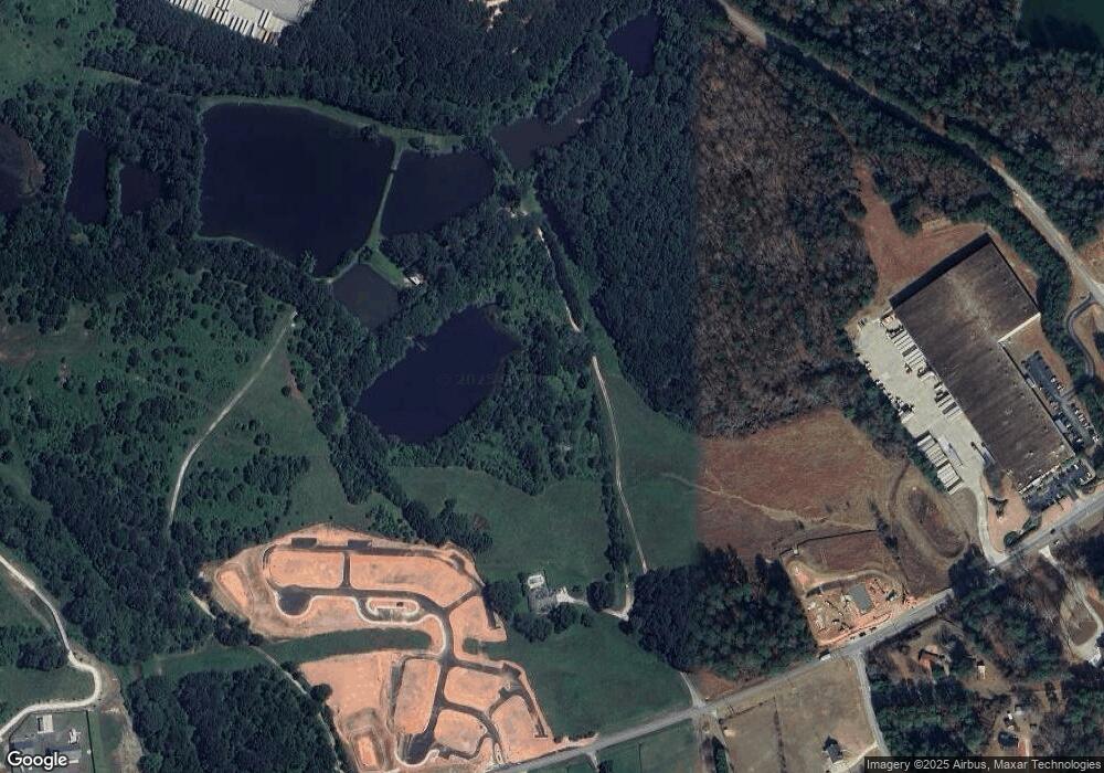
Map
Nearby Homes
- 105 Grand Highlands Ln
- 107 Grand Highlands Ln
- 107 Grand Highland Ln
- 103 Grand Highlands Ln
- 1214 Roxey Maxey Rd
- 740 Patrick Mill Rd SW
- 1752 Maxey Ln
- 921 Roxeywood Dr
- 920 Roxeywood Dr
- 1259 Maxey Ct
- 2412 Snowshoe Bend
- 2422 Snowshoe Bend
- 1250 Maxey Ct
- 2630 Snowcrest Place
- 1898 Roxey Ln
- 3903 Indian Shoals Rd SE
- 2511 Culpepper Trace
- 99 Holland Cove
- 98 Holland Cove
- 89 Holland Cove
- 697 Patrick Mill Rd SW Unit 38319809
- 706 Patrick Mill Rd SW
- 687 Patrick Mill Rd SW Unit 36437956
- 687 Patrick Mill Rd SW
- 734 Patrick Mill Rd SW
- 684 Patrick Mill Rd SW
- 1210 Roxey Maxey Rd
- 655 Patrick Mill Rd SW
- 696 Patrick Mill Rd SW
- 1211 Roxey Maxey Rd
- 1223 Roxey Maxey Rd
- 650 Patrick Mill Rd SW
- 1196 Roxey Maxey Rd
- 815 Winding River Ln
- 2971 Harbins Rd SE
- 765 Winding River Ln
- 741 Winding River Ln
- 719 Winding River Ln
- 642 Patrick Mill Rd SW
- 725 Winding River Ln
Your Personal Tour Guide
Ask me questions while you tour the home.